McKirdy ridge — McKirdy cabin
From the upper meadow junction, take the signed cabin branch rather than climbing directly to the ridge viewpoint. The creek beside the cabin is the documented water source. Book accommodation before relying on a cabin overnight, and return by the marked main trail. This cabin destination has a different ascent and distance from the ridge or Carson’s Peak extensions.
Sources reviewed . This is a research date, not a trail inspection.
- Distance
- 12 kmRound trip
- Elevation gain
- 500 mPublished route measurement
- Walking time
- 3–4 hoursas published
- Difficulty
- Not rated
Map & elevation
Partial elevation profile
Mapped portion · walking direction unconfirmed · 6.17 km
This chart covers only part of the route. It does not establish the full hike or a return journey.
Coverage and elevation sources
6.17 km along source section 1 of 1, in its mapped direction. Approximate 90 m terrain model along this mapped section. Separate sections are not joined. This chart does not measure total trail ascent or establish current access; use the guide’s published outing measurements.
Copernicus GLO-90 terrain elevations via Open-Meteo (CC BY4.0); linework: Open Database License (ODbL) 1.0 · checked 2026-10-18 · CC BY4.0 elevation data; Open Database License (ODbL) 1.0 linework. Copernicus DEM 2021 GLO-90 via Open-Meteo. Linework source: https://www.openstreetmap.org/way/643220902. Sampled and rounded for display.
Mapped named trail. Shows the named meadow approach. It does not establish cabin availability or the higher McKirdy summit extension. Line source (opens original source).
Getting there & parking
Use the small trail parking area near the upper end of 5-Mile Road above Valemount. The local guide says the road is usually passable by ordinary vehicles when dry, but it has grades of roughly 15 percent and can be demanding on the descent. Confirm the road condition and use the signed hiking start; the lower bike-park trailheads on the same road are different destinations.
Driving access has not been established for this selected route option; check its original sources.
Map position: 52.84883, -119.21828 · destination reference point. source-published; not field-verified This point is not a confirmed starting point for the selected route option.
On the trail
From the upper meadow junction, take the signed cabin branch rather than climbing directly to the ridge viewpoint. The creek beside the cabin is the documented water source. Book accommodation before relying on a cabin overnight, and return by the marked main trail. This cabin destination has a different ascent and distance from the ridge or Carson’s Peak extensions.
Conditions & seasons
Season-specific access has not been established in this guide. Read the dated notices and original land-manager information before choosing a departure date.
These are dated research notes. Open the trip planner for current available weather and advisory feeds; no alert found does not establish that a trail or road is open.
Camping & overnight plans
On-route camping permission has not been established for this outing. Check the relevant land manager before planning an overnight stay; a mapped lake, cabin or previous tent location does not confirm permission.
Photos of McKirdy ridge — McKirdy cabin
A photograph with confirmed reuse permission has not yet been added to this guide.
Surrounding area and context
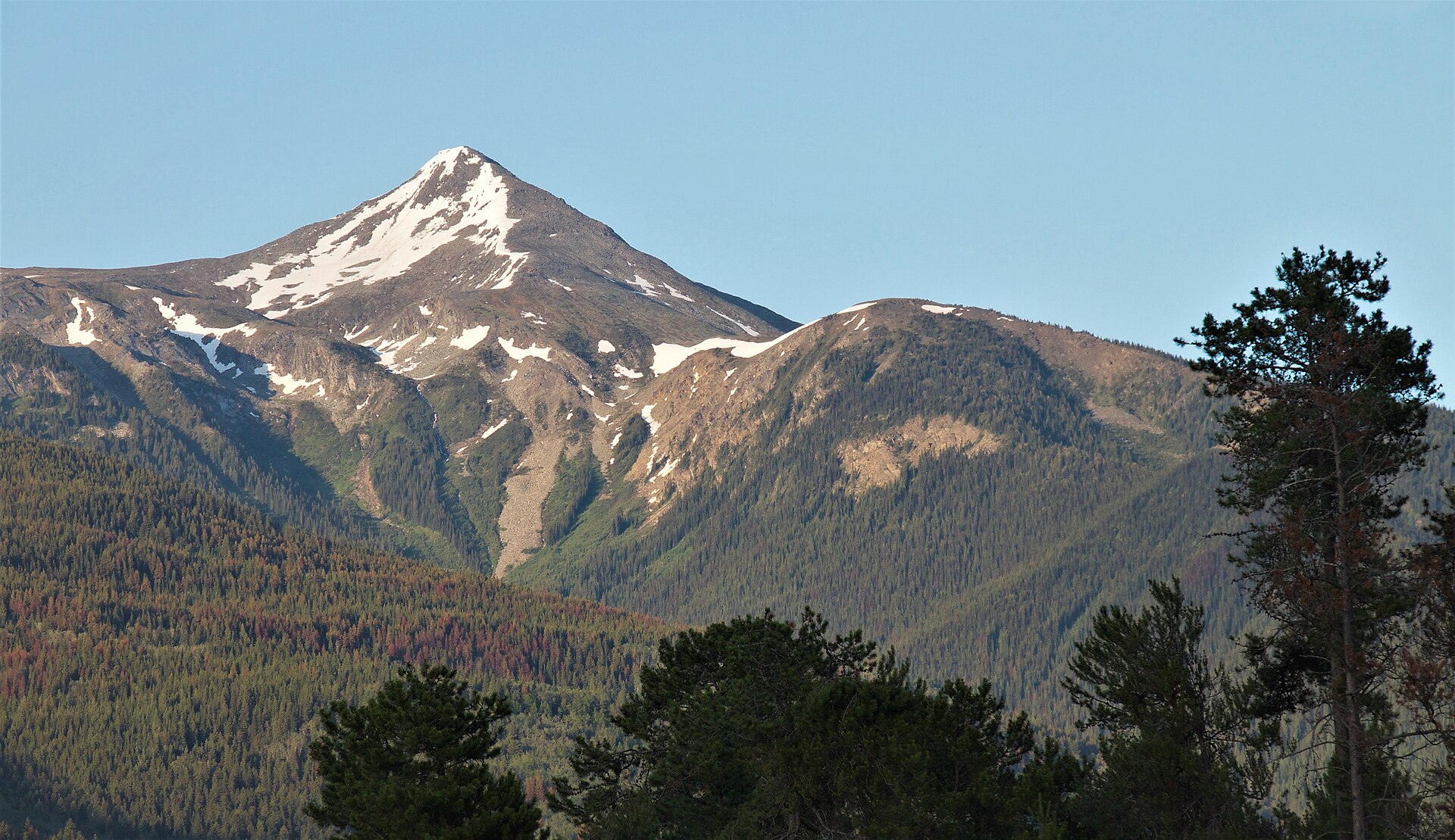
These photographs provide context; they do not establish the appearance of this selected route or facility.
Original photo galleries
These galleries stay on their photographers’ original websites.
- McKirdy Ridge — December 2013 winter view (opens original source) · Vancouver Trails
Take this guide with you
Choose a trip pack or an available individual sheet for your map case.
Sources, dates & research notes
Descriptions are written for this guide from the linked evidence. Source review dates, published reports and field observations can differ. Photographs and route lines retain their own attribution and reuse terms.
Nearby and related guides
- Hikes · Valemount & Mount Robson
McKirdy Meadows cabin
A forest climb to alpine meadows and a backcountry cabin.
Hard / 12 km round trip / 500 m gainRead guide → 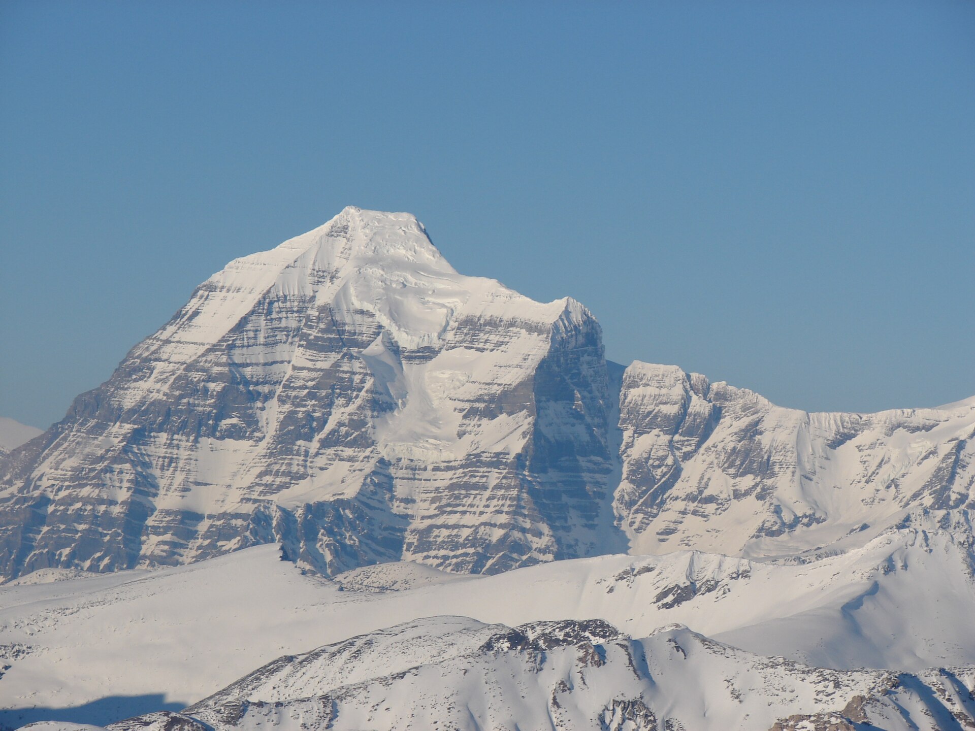 Photo: Rufus Hawthorne · CC BY-SA 3.0Hikes · Valemount & Mount Robson
Carson's Peak / McKirdy summit extension
Carson's Peak adds450m climbing from col; main McKirdy summit more technical.
Read the access and route notesRead guide →- Hikes · Valemount & Mount Robson
Selwyn Traverse
Forest traverse toward Kinbasket Lake; arrange return transport.
Moderate / 9.7 km point to point / 200 m gainRead guide → - Waterfalls · Valemount & Mount Robson
Zen Garden via access trails
Approach paths lead to boardwalks and small stream cascades.
Moderate / 4 km round trip / 120 m gainRead guide → - Hikes · Valemount & Mount Robson
Swift Creek Loop
Follow trail6 markers through bike-trail intersections and suspension-bridge circuit.
Moderate / 8.5 km loop / 150 m gainRead guide → - Viewpoints · Valemount & Mount Robson
Swift Creek Lookout
Creekside first kilometre then steep climb to viewpoint.
Moderate / 3.6 km round trip / 37 m gainRead guide →