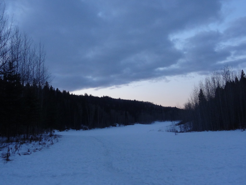
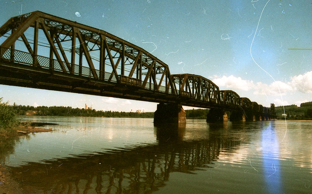
A short constructed path descends from Foothills Boulevard to picnic space beside the Nechako River. It offers a clear, compact outing with accessible facilities and a climb back to the parking area.
Sources reviewed . This is a research date, not a trail inspection.
Approx. 20 mTerrain-model estimate; not a surveyed measurement.
Walking time
Not published
Difficulty
Not ratedOut-and-back
one way from parking to lower riverfront picnic area The round-trip distance is calculated from the published one-way length.
How the elevation gain was established
Outing: out-and-back outing from Paved trail entrance beside the parking area to End of the formal path at the lower riverfront lawn and back; 1.15 km along the mapped itinerary
Copernicus DEM 2021 GLO-90 via Open-Meteo (90 m resolution). v7-smoothed-ascent-1: interpolate retained terrain samples at 100 m spacing; apply one triangular 1:2:1 smoothing pass over ±100 m; preserve start, finish and documented turnaround heights; sum uphill excursions with a 5 m reversal threshold; round to nearest 10 m.
Approximate terrain-model ascent, not a field or GPS measurement. Coarse cells and smoothing can miss small climbs, switchbacks, structures and sharp terrain. Processing sensitivity is not a statistical confidence interval.
StartPaved trail entrance beside the parking area0.6 km · turn aroundEnd of the formal path at the lower riverfront lawn1.2 km · back at startPaved trail entrance beside the parking area
Approximate terrain elevation. Mapped distance may differ from the published hike distance.
Map and elevation sources
Approximate ground elevation from a 90 m terrain model. Distance follows the mapped itinerary and may differ from published walking distance. This is a terrain-model profile, not a surveyed measurement. Any ascent total is identified separately with its own source or estimation method.
The City describes a formal half-kilometre path from the paved parking area down to the riverfront picnic lawn. Its licensed trail-asset layer separately records the 24 m paved parking connector (OBJECTID 309) and 553 m formal switchback path (OBJECTID 686), both named Nechako Riverside Park and sharing an exact endpoint. The current official aerial photograph was visually checked for the lower switchbacks and path beside the picnic lawn. Those two complete City assets define this outing; the terminal point is the end of the formal path, not the water or canoe launch. The return climbs back by the same path. The mapped complete return is about 1.15 km, distinct from the approximate 500 m one-way public description.
The hosted map shows about 5.3 km return along the Nechako River. This is longer than the City’s 500 m constructed park approach and should not inherit its accessibility description.
Complete mapped outing from Paved trail entrance beside the parking area, including the return on the same route. Line source (opens original source).
Getting there & parking
Use the municipal park entrance at 2333 Foothills Boulevard. The paved parking area includes an RV section and six accessible stalls. The vehicle gate is normally open from mid-April to October 31 as weather permits, with posted hours of 7 am–10 pm through August and 7 am–8 pm in September and October. The parking area is not maintained in winter.
Map position: 53.94946, -122.81369 · park reference point derived inside official boundary. Official City ParkName=Nechako Riverside Park; OBJECTID=1442; active park polygon. Marker computed inside its largest polygon, checked against exterior and holes.
Park location marker for orientation; not a source-published parking point or trailhead. Neighbourhood park existence does not establish a named hiking route.
On the trail
Follow the broad crushed-gravel path downhill to the lower riverfront picnic area.
Return uphill by the same formal approach.
Full route notes
Follow the broad crushed-gravel path downhill from the parking area to the lower riverfront lawn and picnic tables. The constructed approach is approximately 500 m and is described by the City as accessible, with benches providing stops on the descent. Return up the same approach after visiting the riverfront. There is a canoe launch and an outhouse, but the walking route is the formal path, not the riverbank itself. Allow enough time for the uphill return before the vehicle gate closes.
The way back
The City describes a 500 m approach. Retracing it makes approximately 1 km; the longer AllTrails riverside outing is a separate route.
Terrain: gravel.
Accessibility
City describes a 0.5 km accessible crushed-gravel path; slope measurements not supplied.
Distance and elevation source notes
The City describes an approximately 500 m accessible approach. Retracing it gives approximately 1 km for the outing; the mapped path measurement may differ slightly. The longer riverside AllTrails listing is separate.
Conditions & seasons
Parking unmaintained in winter. Gate typically mid-April–October, weather-dependent; April–August 07:00–22:00 and September–October 07:00–20:00 per park page.
Winter route
The municipal parking lot is not maintained in winter.
These are dated research notes. Open the trip planner for current available weather and advisory feeds; no alert found does not establish that a trail or road is open.
On-route camping permission has not been established for this outing. Check the relevant land manager before planning an overnight stay; a mapped lake, cabin or previous tent location does not confirm permission.
Photos of Nechako Riverside Park
A photograph with confirmed reuse permission has not yet been added to this guide.
Original photo galleries
These galleries stay on their photographers’ original websites.
Descriptions are written for this guide from the linked evidence. Source review dates, published reports and field observations can differ. Photographs and route lines retain their own attribution and reuse terms.