Ten Mile Lake — Kosta's Cove Accessible Trail
From the north picnic area follow the lakeshore north, then the forest circuit.
Sources reviewed . This is a research date, not a trail inspection.
A complete driving approach and parking location have not been established. Read the specific gaps below before choosing this outing.
Read the access notes →The locations GPX contains sourced points with their recorded roles. It contains no trail track or connecting route.
- Distance
- Not publishedTrip basis unconfirmed
- Elevation gain
- Not establishedCumulative ascent for this outing has not been established.
- Walking time
- Not published
- Difficulty
- Not rated
Map & elevation
Elevation profile
A full-route elevation profile is not available yet.
A reusable trail line has not yet been verified for this outing. Any location pin shows the published location described above; it does not draw the hike or establish a navigable approach.
Getting there & parking
The available sources do not yet establish a complete driving approach for this selected outing. Use the original route sources below before planning the journey.
Driving access has not been established for this selected route option; check its original sources.
Map position: 53.07389, -122.44167 · destination reference point. BC Gazetteer: Ten Mile Lake Park | Provincial Park | 53 04 25 N | 122 26 30 W | WGS84 | mapsheet 93G/1 Official named-feature location, not parking or a verified route start. This point supports regional orientation and area forecasts; road directions and distance-to-trailhead must use a separately verified access point. This point is not a confirmed starting point for the selected route option.
On the trail
From the north picnic area follow the lakeshore north, then the forest circuit.
Conditions & seasons
Season-specific access has not been established in this guide. Read the dated notices and original land-manager information before choosing a departure date.
These are dated research notes. Open the trip planner for current available weather and advisory feeds; no alert found does not establish that a trail or road is open.
Camping & overnight plans
On-route camping permission has not been established for this outing. Check the relevant land manager before planning an overnight stay; a mapped lake, cabin or previous tent location does not confirm permission.
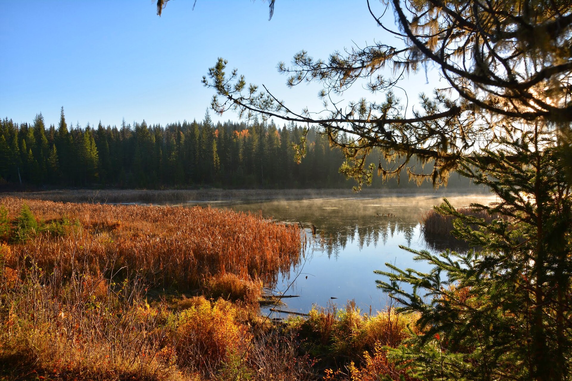
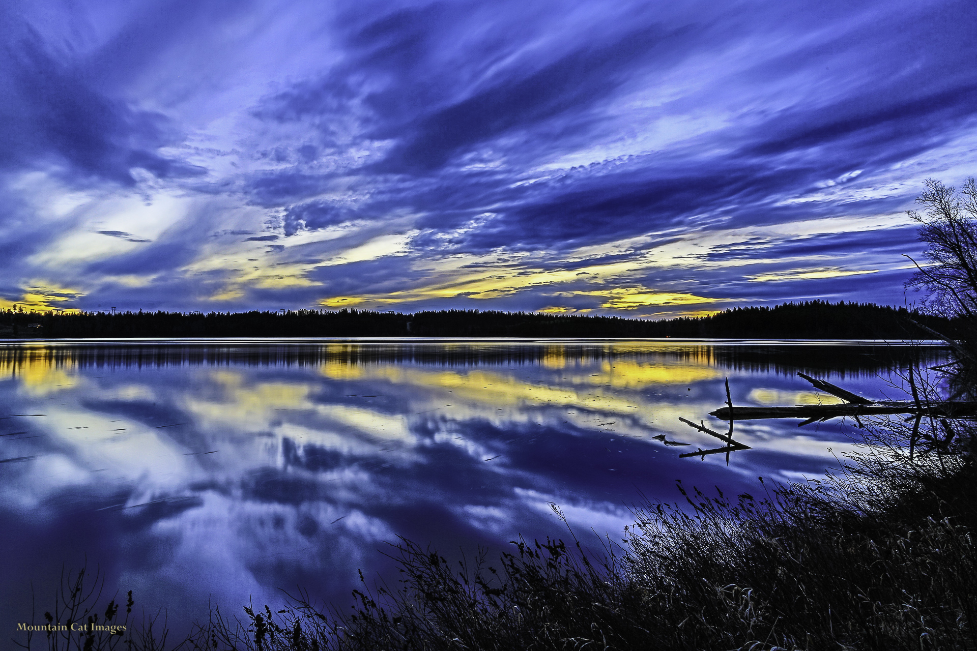
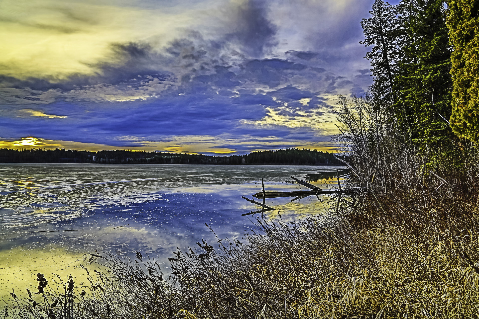
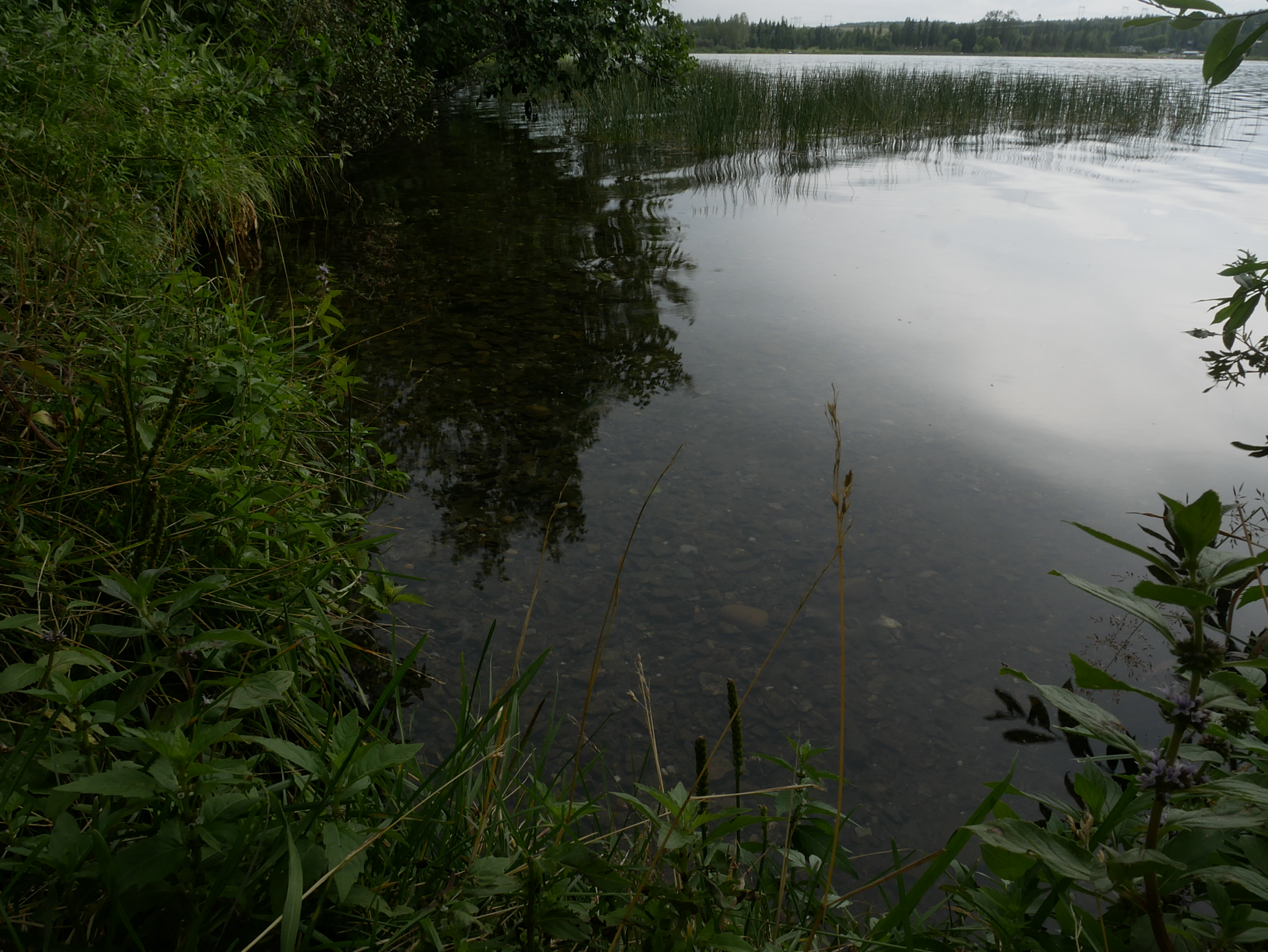
Photos of Ten Mile Lake — Kosta's Cove Accessible Trail
A photograph with confirmed reuse permission has not yet been added to this guide.
Surrounding area and context
These photographs provide context; they do not establish the appearance of this selected route or facility.
Take this guide with you
Choose a trip pack or an available individual sheet for your map case.
Sources, dates & research notes
Descriptions are written for this guide from the linked evidence. Source review dates, published reports and field observations can differ. Photographs and route lines retain their own attribution and reuse terms.
Details still being researched
- gainM
- distanceKm
- accessibility
Nearby and related guides
- Camping · Hixon & Quesnel
Ten Mile Lake campgrounds
Ten Mile Lake is a practical vehicle-accessible base for Quesnel-area walks, with beaches, a boat launch and a forest trail network in the same provincial park. The park lists…
Camping destination · access & overnight informationRead guide → - Walks · Hixon & Quesnel
Kosta's Cove Accessible Trail
Kosta’s Cove provides a lakeshore walk at the north end of Ten Mile Lake, with forest sections and places to pause beside the water. The regional district distinguishes the gentle…
Read the access and route notesRead guide → - Walks · Hixon & Quesnel
Claymine Low Mobility Trail
Claymine is a gentle forest circuit around a large boulder left by glaciation, west of Quesnel. The regional district describes approximately 1 km of low-mobility trail, with an…
1 km loopRead guide → - Hikes · Hixon & Quesnel
Quesnel River
This Quesnel River outing starts above the south bank and descends through a utility clearing before following an old riverside road. The described return climbs steeply through a…
Easy / 6 km loop / 120 m gainRead guide → 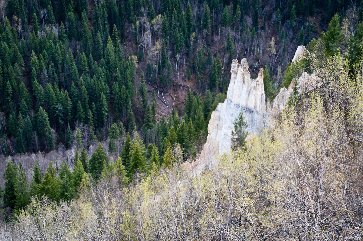 Photo: John Freeland · CC BY 2.0Viewpoints · Hixon & Quesnel
The Pinnacles
A maintained path leads to a fenced viewpoint over hoodoos and the Baker Creek valley on the west side of Quesnel. BC Parks places the viewpoint approximately 1 km from the…
Moderate / 2 km round tripRead guide →- Hikes · Hixon & Quesnel
Dragon Lake
Dragon Lake is a broad recreation destination on the south side of Quesnel, best known for fishing and lake access. The older hiking listing labels an easy loop but gives no…
Easy / TBARead guide →