Fort St. James
Find walks and mountain destinations around Fort St. James. Read each guide’s access and route scope carefully, particularly where a recorded outing covers only part of a trail network.
5 of 5 places
Open map search →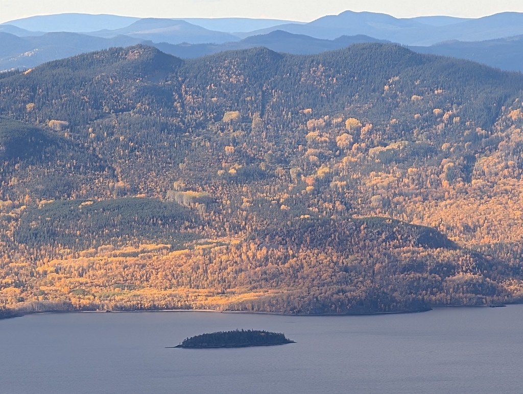 Photo: Dru! · CC BY-NC 4.0 · Noncommercial onlyviewpoint · Fort St. James
Mount Pope / Nak'al
A sustained mountain trail above Fort St. James reaches a summit gazebo overlooking Stuart Lake and the ranges to the north. The park is day use only, with no drinking-water…
Moderate · 13 km round trip · 4-6 hoursRead guide →- camping · Fort St. James
Paarens Beach campground
A Stuart Lake campground with a broad beach and boat launch, convenient for exploring the Fort St. James area. Nearby mountain hikes require a separate drive and should not be…
Camping destination · access & overnight informationRead guide → - camping · Fort St. James
Sowchea Bay campground
A Stuart Lake campground west of Fort St. James, with many sites near the water. It is primarily a lake camping destination rather than a documented long hiking route.
Camping destination · access & overnight informationRead guide → - waterfall · Fort St. James
Tsilcoh Falls
A short forest approach north of Fort St. James reaches a waterfall, picnic area and pit toilets. The lengthy road approach should be planned separately from the short walking…
2.4 km round tripRead guide → - hike · Fort St. James
Shass Mountain
A mountain walk reached by paddling Grassham Lake first. The boat approach is an essential part of the outing, and the summit’s hiking distance does not include travel across the…
Hard · 12.4 km round trip · 6 - 8 hoursRead guide →