LC Gunn: Seeing Prince George From the Other Side of the Fraser
Cross the river and the familiar city rearranges itself. A walk along the forested bluffs reveals the bowl, the bridges and the long history written into the riverbanks.
The city changes sides
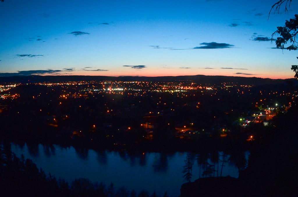
Most city walks begin by choosing something within Prince George to look at. LC Gunn begins with a more interesting move: cross the Fraser and look back. Familiar places sit on the far bank, while the river takes up space that a street map can make surprisingly easy to ignore.
The trail occupies the forested high ground on the east side of the Fraser, between the Highway 16 and Highway 97 bridges. Established viewing areas open the trees toward the city. The resulting perspective is both broad and intimate. You are far enough away to see relationships between places, yet close enough to recognise the parts of town where an ordinary day happens.
Sources: 1
A corridor with a story of its own
The modern Fraser Cutbanks trail addition was developed in 1995 through a lease agreement with BC Rail. Caledonia Ramblers credits George Evanoff and Mike Nash among the people who instigated the LC Gunn and Fraser Cutbanks trail. A route that now feels like an obvious place to walk required agreements and people willing to make it happen.
The name reaches further back. The club identifies Luther Collins Gunn as a surveyor involved in the region’s railway development. His surname now belongs to a recreational route in a landscape once assessed for moving trains.
The ground beneath the view
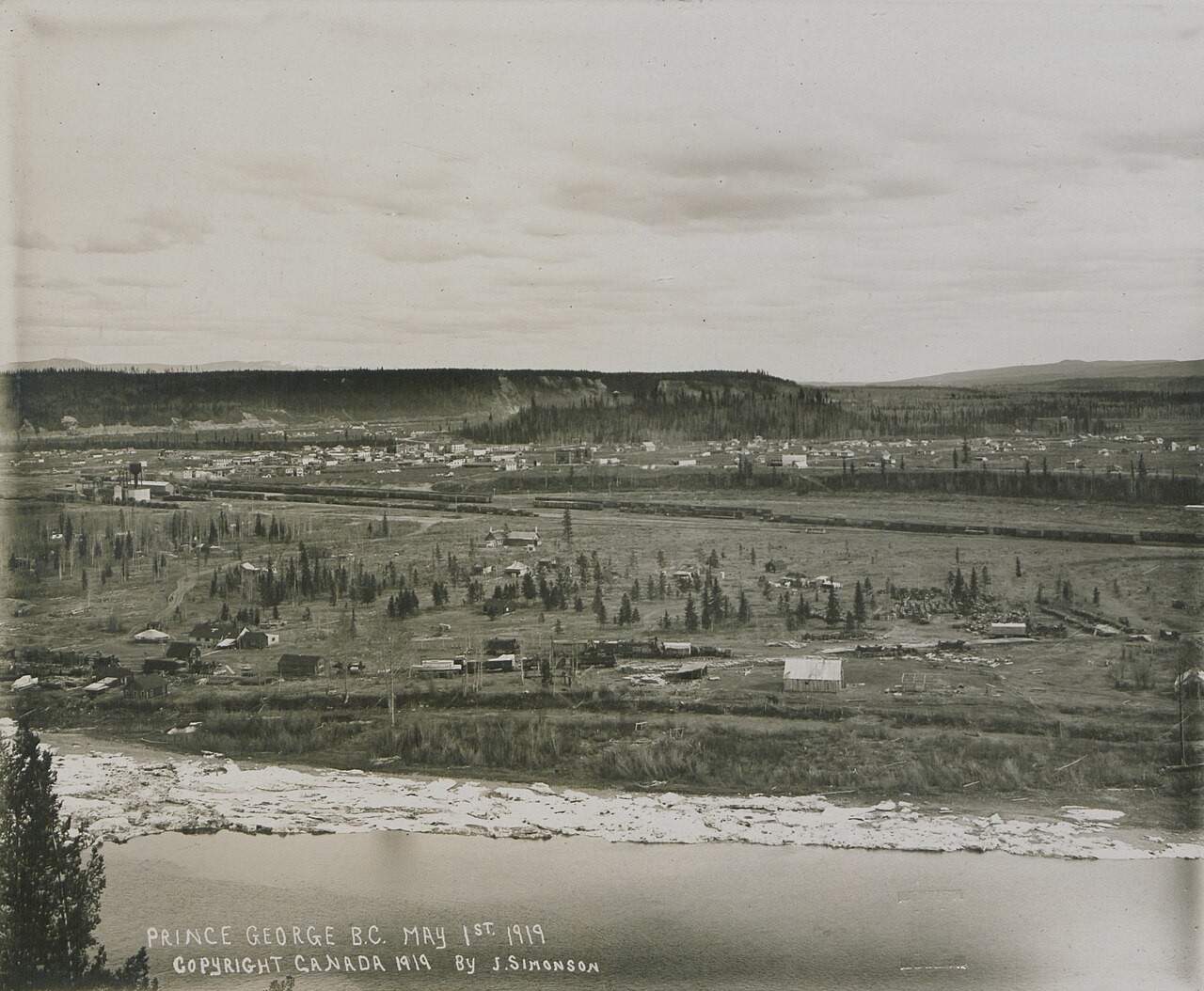
Across the water, Prince George occupies the lowland locals call the bowl. The Geological Survey of Canada’s GeoTour explains it as the meeting of river valleys cut into the surrounding plateau. The apparent flatness contains a history of channels, old floodplains and terraces.
The bluffs hold another part of that history. Much of what is commonly called the silt banks is actually sand and gravel laid down by glacial meltwater, with finer lake deposits above. Later river erosion exposed these layers. The cliffs are the cut edges of accumulated sediment, which is also why their rims deserve a generous distance.
Knowing that changes the view without requiring a geology vocabulary. The trees stand on a surface left by earlier landscapes. The river runs below it. Between them is a vertical record of change, visible from the opposite bank and suggested by the height of the walk itself.
Sources: 4
Let the bridges frame the walk
The club describes the full corridor as about 3.5 kilometres end to end, or roughly seven kilometres if you retrace it. A shorter outing can turn around after a rewarding view. The important choice is whether you want an extended walk or time to look, because neither requires completing the other.
The bridges give the corridor a recognizable frame, but the forest keeps the panorama from becoming continuous. Views open and close as the path moves through the trees. The city appears in portions, with the Fraser providing the connection between them.
The established viewpoints are the places to stop. The sediment bluffs that make the outlook possible are also the reason to stay well back from their edges.
Sources: 2
Look back a second time
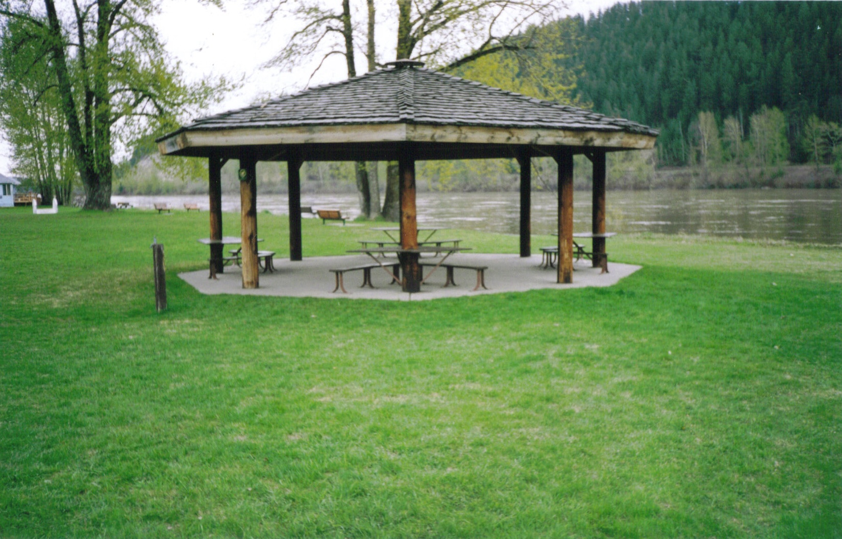
LC Gunn becomes even more interesting when paired with a separate visit to the opposite bank. From the public riverfront at Lheidli T’enneh Memorial Park, the bluffs become the thing you look at. A forested line across the water is suddenly a place where you have stood.
The two walks complete a small exchange of perspectives. On the western bank, the city is behind you and LC Gunn is a line of forest across the river. On the eastern bank, that forest holds the path and the city becomes the view.
Neither side owns the whole scene. That is what makes this particular local walk stay with you: Prince George remains recognizably itself, but the river has rearranged the familiar.
Explore the places in this story
LC Gunn Park and Fraser Cutbanks
Choose a short viewpoint outing or the longer return along the corridor.
Lheidli T’enneh Memorial Park
A separate visit on the opposite bank, useful for seeing the bluffs from below.
Sources and further reading
- LC Gunn Park (opens original source)City of Prince George · Checked
- LC Gunn/Fraser Cutbanks (opens original source)Caledonia Ramblers · Checked
- History: Trail Development (opens original source)Caledonia Ramblers · Checked
- GeoTour guide for Prince George, Open File 5559 (opens original source)Geological Survey of Canada · Checked