Tumbler Ridge / Monkman
Murray River Camp
Official Monkman map marks camp at trail km 7; these are route-chainage values, not road distances.
7 km · one way; return unconfirmed
A LOCAL FIELD GUIDE
Find a walk close to home, a waterfall, or a day in the mountains.
Tumbler Ridge / Monkman
Official Monkman map marks camp at trail km 7; these are route-chainage values, not road distances.
Tumbler Ridge / Monkman
Kinuseo Falls Road, 60 km south of Tumbler Ridge; allow for rough road.
Bowron / Wells
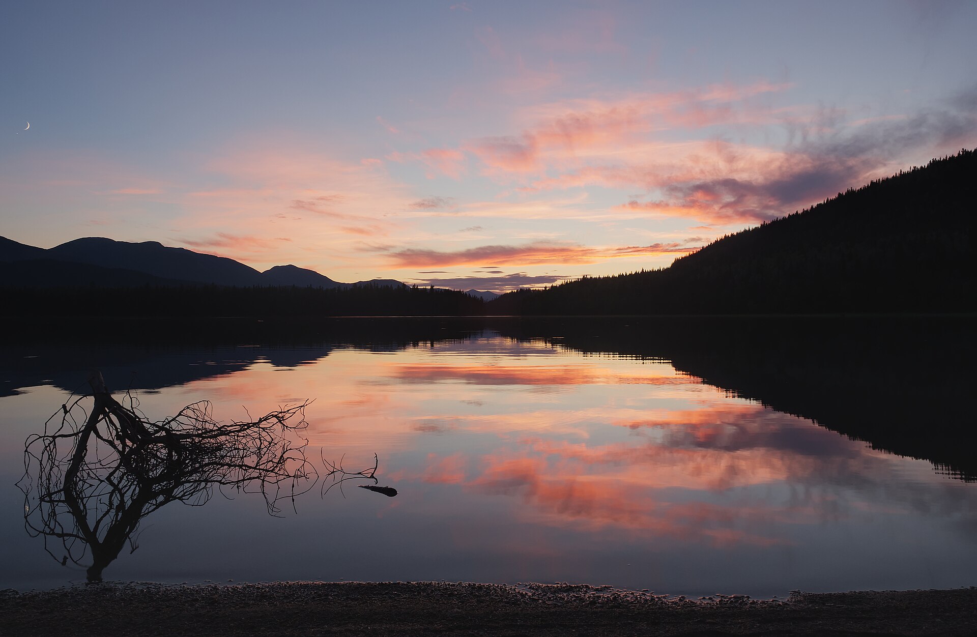
Bowron Lake Park is a paddling and camping destination with walking side trips, rather than one continuous land-based hiking loop. The full…
Kenney Dam / west
A protected volcanic gorge preserves the dry Grand Canyon of the Nechako near Kenney Dam. It is a landscape destination with no developed canyon…
Pine Pass
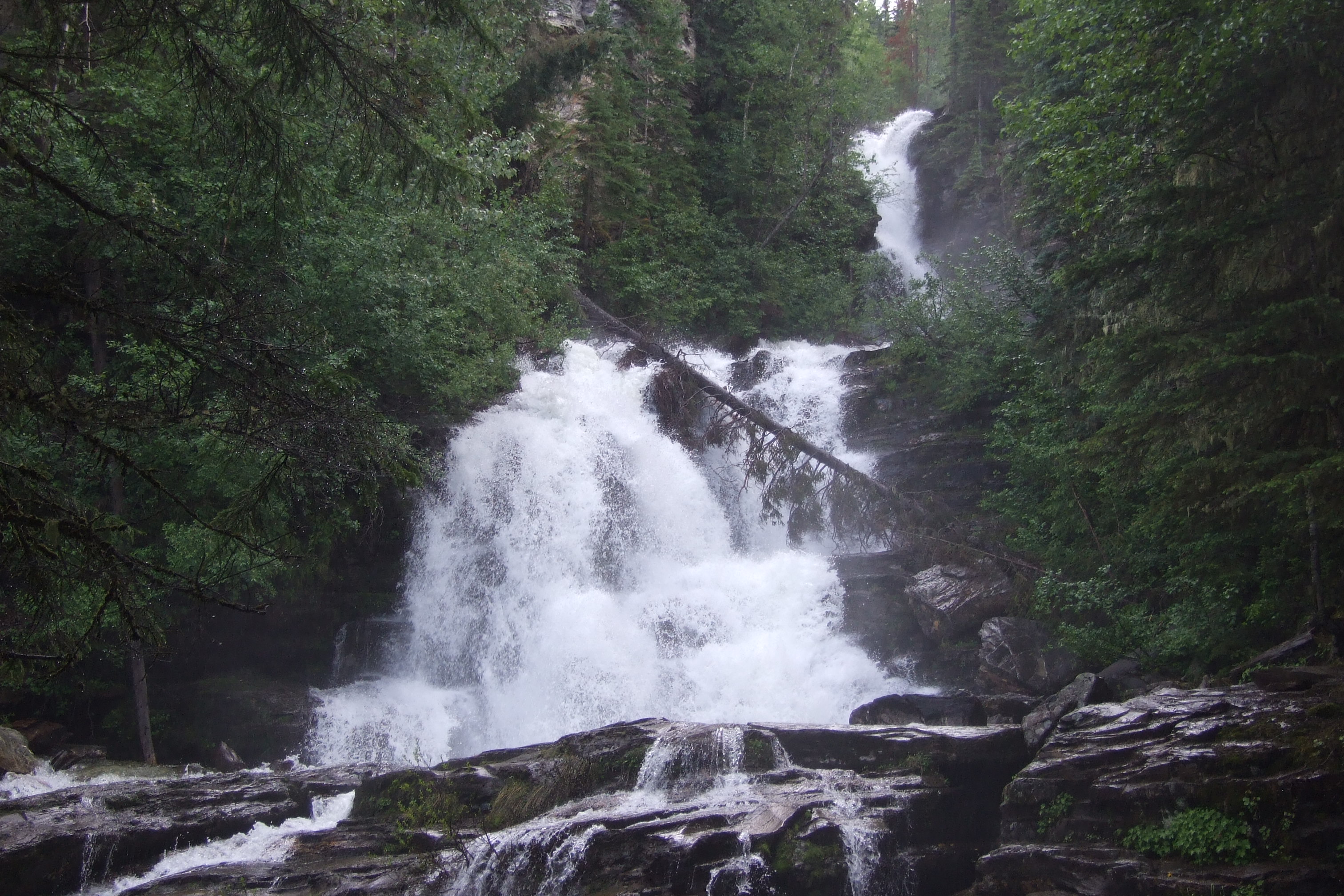
A short roadside stop in Pine Pass provides a fenced view of a cascading waterfall. It is a day-use waterfall visit rather than a developed…
Kakwa
Remote camping near Kakwa Lake and its public cabin, reached by a long backcountry approach rather than a public road into the park. The…
Mackenzie
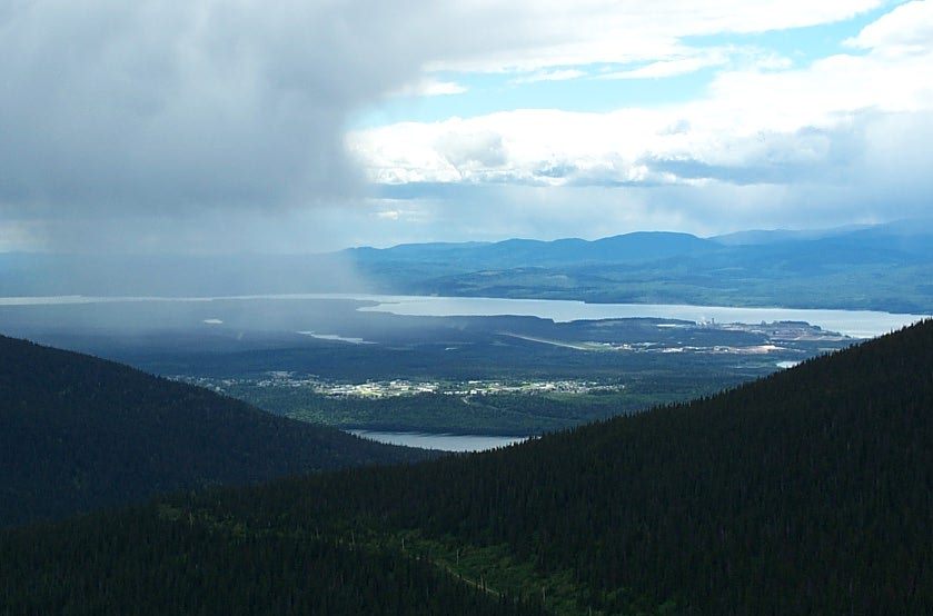
A road-accessed alpine viewpoint above Mackenzie looks toward the Rockies, Williston Lake and the town. This record describes the viewpoint…
Pine Pass
A user-maintained lakeside campground in Pine Le Moray Park, useful as a base for a quiet lake stay or a separately planned steep mountain…
Tumbler Ridge
A planning base for separate waterfall, alpine, canyon and dinosaur-track outings around Tumbler Ridge.
Mount Robson
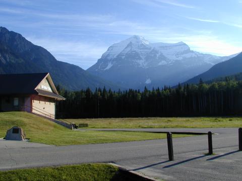
Destination-level entry mentioning Berg Lake; actual trails and current operating status require BC Parks research.