Tumbler Ridge
A planning base for separate waterfall, alpine, canyon and dinosaur-track outings around Tumbler Ridge.
Sources reviewed . This is a research date, not a trail inspection.
This is an area guide covering several possible trips. Choose an individual outing for its route measurements, trail map and downloads. Browse Tumbler Ridge & Monkman guides →
Getting to the area
The source corridor follows Highway 97 north to Chetwynd, approximately 305 km, then Highway 29 south about 93 km to Tumbler Ridge. Individual trailheads can be far from town and need separate access directions.
Map position: 55.13306, -121.00139 · community centre point. The BC Geographical Names Office publishes the approximate population centre in WGS84. This catalogue item is a regional destination collection, not one hike or trailhead.
Choosing an outing
Use Tumbler Ridge as the town base, then select an individual trail with its own approach and route information. Nearby choices include the short Quality Falls walk, longer Bergeron Falls routes, highway-access Tepee Falls, and the rough-road journey to Kinuseo and Monkman Park. Alpine destinations such as Windfall, Spieker and Kostuik require different forest-road approaches and mountain preparation. This regional overview has no single trail alignment, trailhead or meaningful shared distance; it should not be used as a navigation route.
Terrain: rough route · alpine.
Distance and elevation source notes
Up to 20 km
Conditions & seasons
Season-specific access has not been established in this guide. Read the dated notices and original land-manager information before choosing a departure date.
These are dated research notes. Open the trip planner for current available weather and advisory feeds; no alert found does not establish that a trail or road is open.
Camping & overnight plans
On-route camping permission has not been established for this outing. Check the relevant land manager before planning an overnight stay; a mapped lake, cabin or previous tent location does not confirm permission.
Photos of Tumbler Ridge
A photograph with confirmed reuse permission has not yet been added to this guide.
Original photo galleries
These galleries stay on their photographers’ original websites.
- Tumbler Ridge July 1, 2022 (opens original source) · Caledonia Ramblers
- Tumbler Ridge June 29, 2018 (opens original source) · Caledonia Ramblers
Take this guide with you
Choose a trip pack or an available individual sheet for your map case.
Sources, dates & research notes
Descriptions are written for this guide from the linked evidence. Source review dates, published reports and field observations can differ. Photographs and route lines retain their own attribution and reuse terms.
- https://caledoniaramblers.ca/trails/tumbler-ridge (opens original source)
- https://apps.gov.bc.ca/pub/bcgnws/names/37513.html (opens original source)
Details still being researched
- Total route elevation gain not verified; no substitution from summit altitude or waterfall height.
- No itinerary-specific measured distance verified.
- No site-specific dog rule verified in reviewed sources.
- No on-route/designated camping permission verified.
Nearby and related guides
- Hikes · Tumbler Ridge & Monkman
Flatbed Cabin Pools and Dinosaur Tracks
Follow the TR Trail from Flatbed Falls toward creekside rock exposures and dinosaur tracks near Cabin Pool. The creek spur and same-path return are distinct from the other…
3 km round tripRead guide → - Waterfalls · Tumbler Ridge & Monkman
Quality Falls
Forest walk to upper Quality Creek waterfall, with a steeper final descent.
Easy / 2.5 km round trip / 75 m gainRead guide → 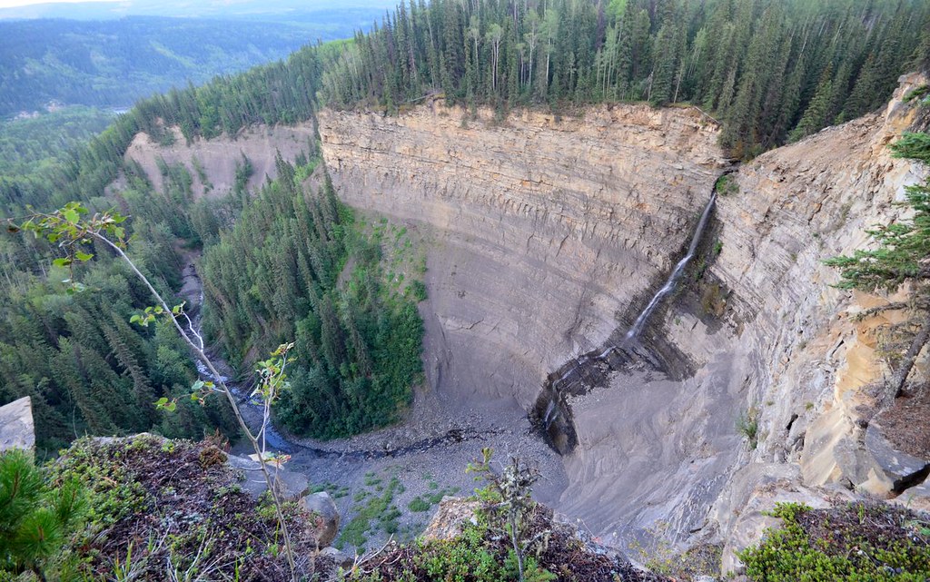 Photo: Miles Green · CC BY 2.0Waterfalls · Tumbler Ridge & Monkman
Bergeron Falls
Upper views and a longer circuit explore different parts of the canyon. Water crossings and cliff exposure make the circuit more demanding.
12 km loop / 450 m gainRead guide →- Hikes · Tumbler Ridge & Monkman
TR Trail
A long trail around three sides of Tumbler Ridge, divided into four legs by five signed access points.
28 km point to pointRead guide → - Viewpoints · Tumbler Ridge & Monkman
Murray Canyon Overlook
Forest approach reaches exposed slopes above the Murray River and follows the valley rim to a turnaround bench.
Easy / 6.5 km round tripRead guide → - Waterfalls · Tumbler Ridge & Monkman
Nesbitt’s Knee Falls
Ridge walk reaches a viewing bench, with separate upper-creek and much steeper base options.
Moderate / 3 km round tripRead guide →