A LOCAL FIELD GUIDE

Hiking around Prince George

Find a walk close to home, a waterfall, or a day in the mountains.

Places to go

51 to 60 of 324 places · 318 on the map

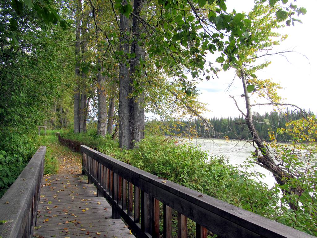
A riverside boardwalk beneath cottonwoods at Huble Homestead
Photo creditCottonwood Trees (51553732711).jpg · David Stanley from Nanaimo, Canada · CC BY 2.0 · Photographed Sep 11, 2021 · Provider resized the original for this download; no local edits. Display may crop the view.

North of Prince George

Huble Farm

A historic homestead visit combines restored buildings, riverside pastures and access to the Giscome Portage area. It is distinct from the…

Variable trails/loops up to 4 km1–3 hours
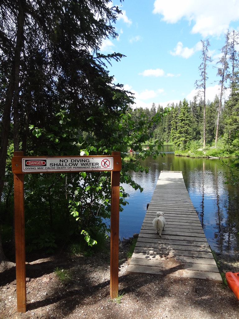
A dock and sheltered water at Berman Lake
Photo creditDSC05345 · Andrew Kurjata · CC BY-NC-SA 2.0 · Photographed Jun 16, 2013 · Provider display size downloaded; no local edits. Display may crop the view. Adaptations retain the image licence. · Noncommercial only

Near Prince George

Berman Lake Regional Park

A small lakeside park with forest and esker paths, two picnic areas and a swimming beach. It suits a gentle walk combined with a lakeside stop…

About 40 min from PG3 km of trails

Highway 16 West

Dahl Lake Provincial Park

A short woodland connection links Norman Lake’s beach with quieter Dahl Lake. A rougher north-shore path offers a longer exploration, but this…

TBA3 hours

North of Prince George

Giscome Portage

A historic portage crosses the divide between the Pacific and Arctic watersheds near Huble Homestead. It is a linear trail with separate…

8.5 km point to point120 m gain3–4 hours

Blackwater & southwest

Mackenzie Lakes recreation sites

Two small campsites serve connected fishing lakes southwest of Prince George. Despite the name, these are on the Blackwater road corridor, not…

Camping destination
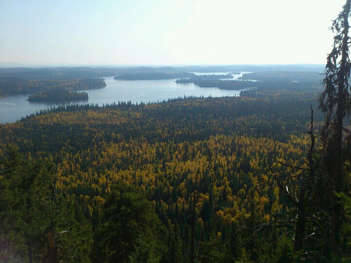
Lake and forest views from Teapot Mountain
Photo creditphoto-2012-09-23-13-20-40-190 · Andrew Kurjata · CC BY-NC-SA 2.0 · Photographed Sep 23, 2012 · Provider display size downloaded; no local edits. Display may crop the view. Adaptations retain the image licence. · Noncommercial only

North of Prince George

Teapot Mountain

4.7 AllTrails

A compact volcanic summit outing with views around Summit Lake. The trail is being rerouted onto a longer, gentler ascent, so older distance…

2.8 km loop177 m gain1–1.5 hoursfor the viewpoint return

Southwest of Prince George

Bobtail Mountain

Closure notice recorded · check guide

A forest ridge trail reaches viewpoints and a small day-use hut, but the published road approach is affected by a washout and a removed bridge.…

12 km round trip363 m gain4 - 5 hours
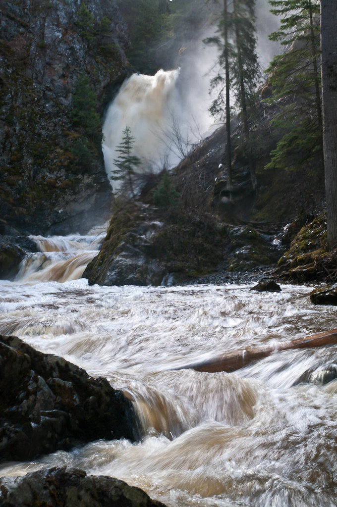
Hixon Falls in spring runoff
Photo creditHixon Falls.jpg · John Freeland · CC BY 2.0 · Photographed May 2, 2012 · Downloaded provider display size; no local image edits. Display may crop the view.

Hixon

Hixon Falls

A short path leads into the Hixon Creek canyon to the lower waterfall. This is a useful stop on the Highway 97 corridor, with a separate short…

0.24 km round trip30 min
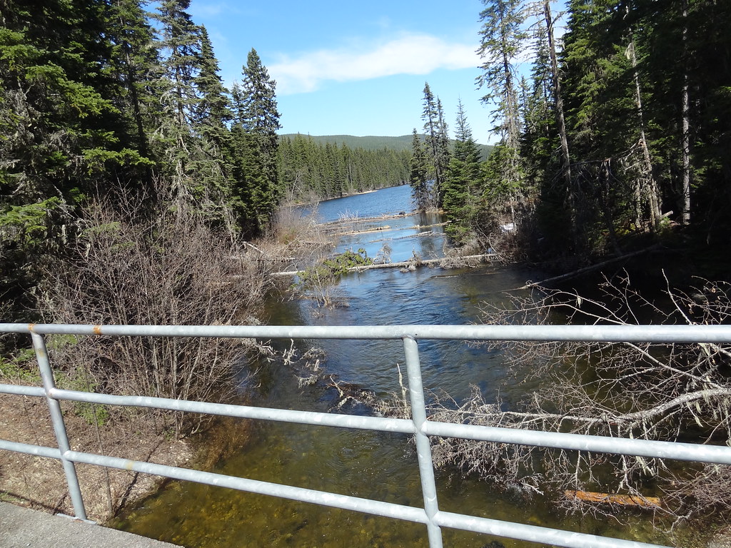
A bridge across a creek beside Purden Lake
Photo creditDSC04563 · Andrew Kurjata · CC BY-NC-SA 2.0 · Photographed May 10, 2013 · Provider display size downloaded; no local edits. Display may crop the view. Adaptations retain the image licence. · Noncommercial only

Highway 16 East

Purden Lake

4.5 AllTrails

North-shore trail follows lake edge with roots and boardwalks; camping is available in the park subject to operator rules.

12.2 km round trip3-5 hours