Berg Lake Trail / Robson Pass — Toboggan Falls–Hargreaves Lake loop
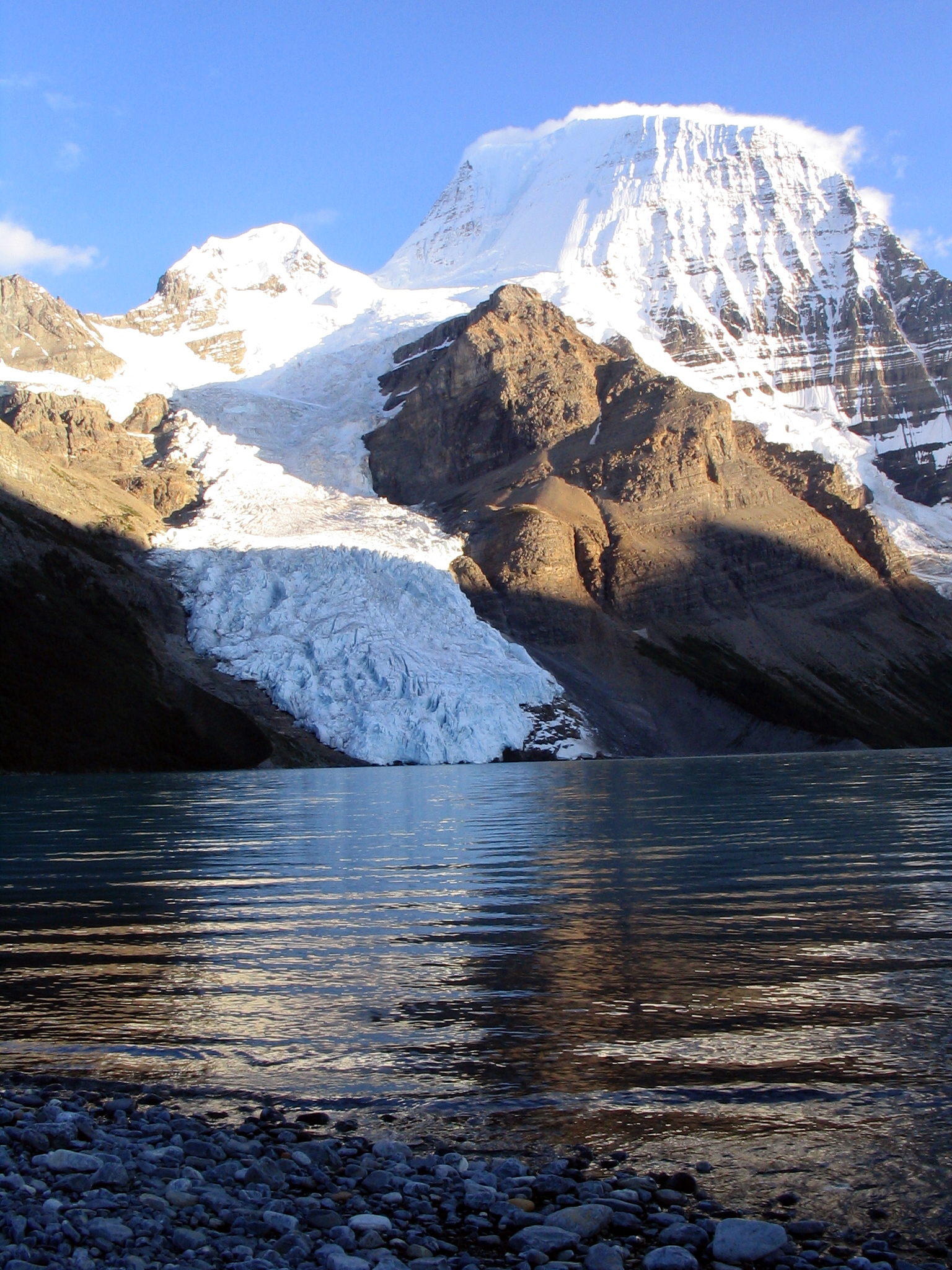
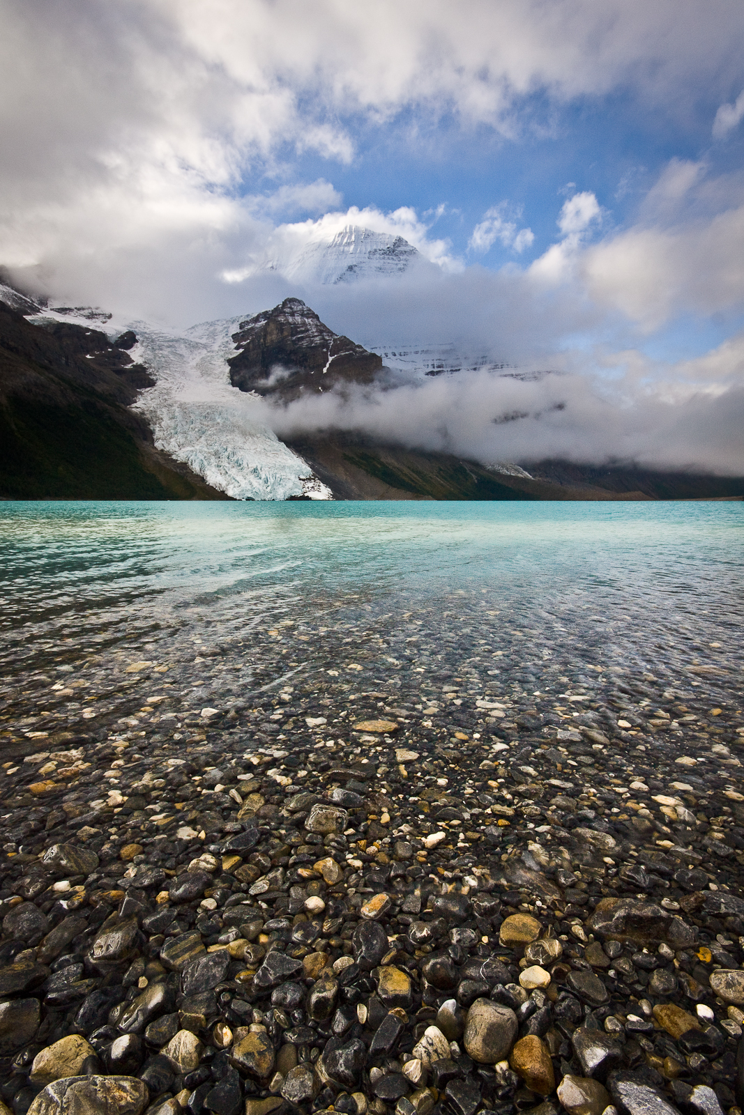
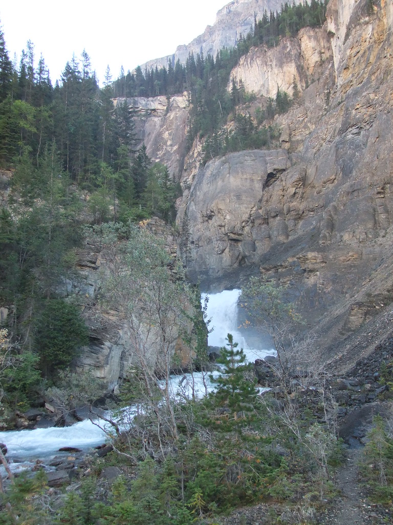
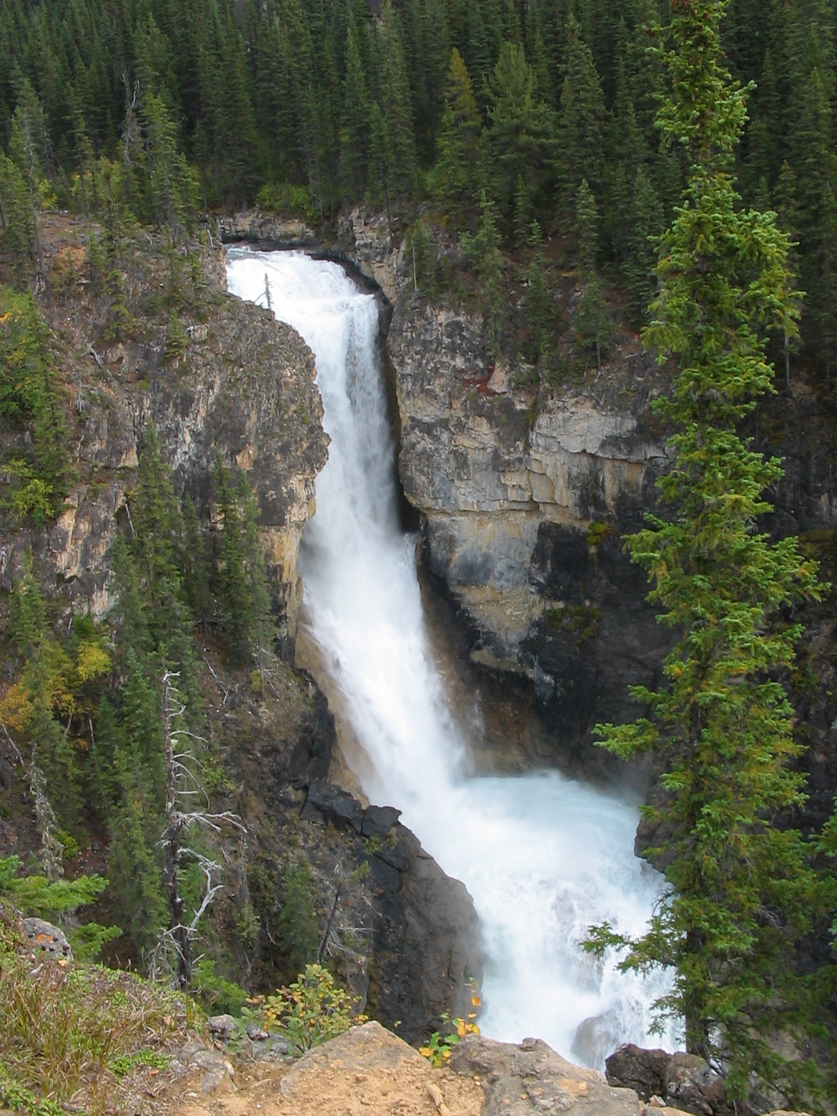
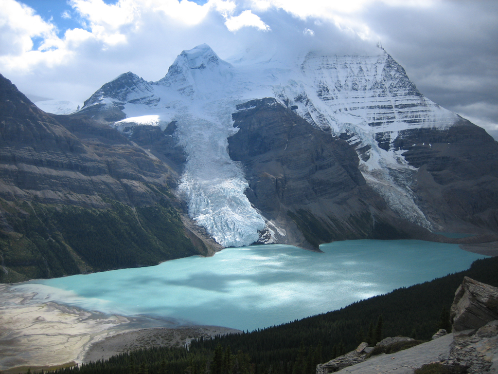
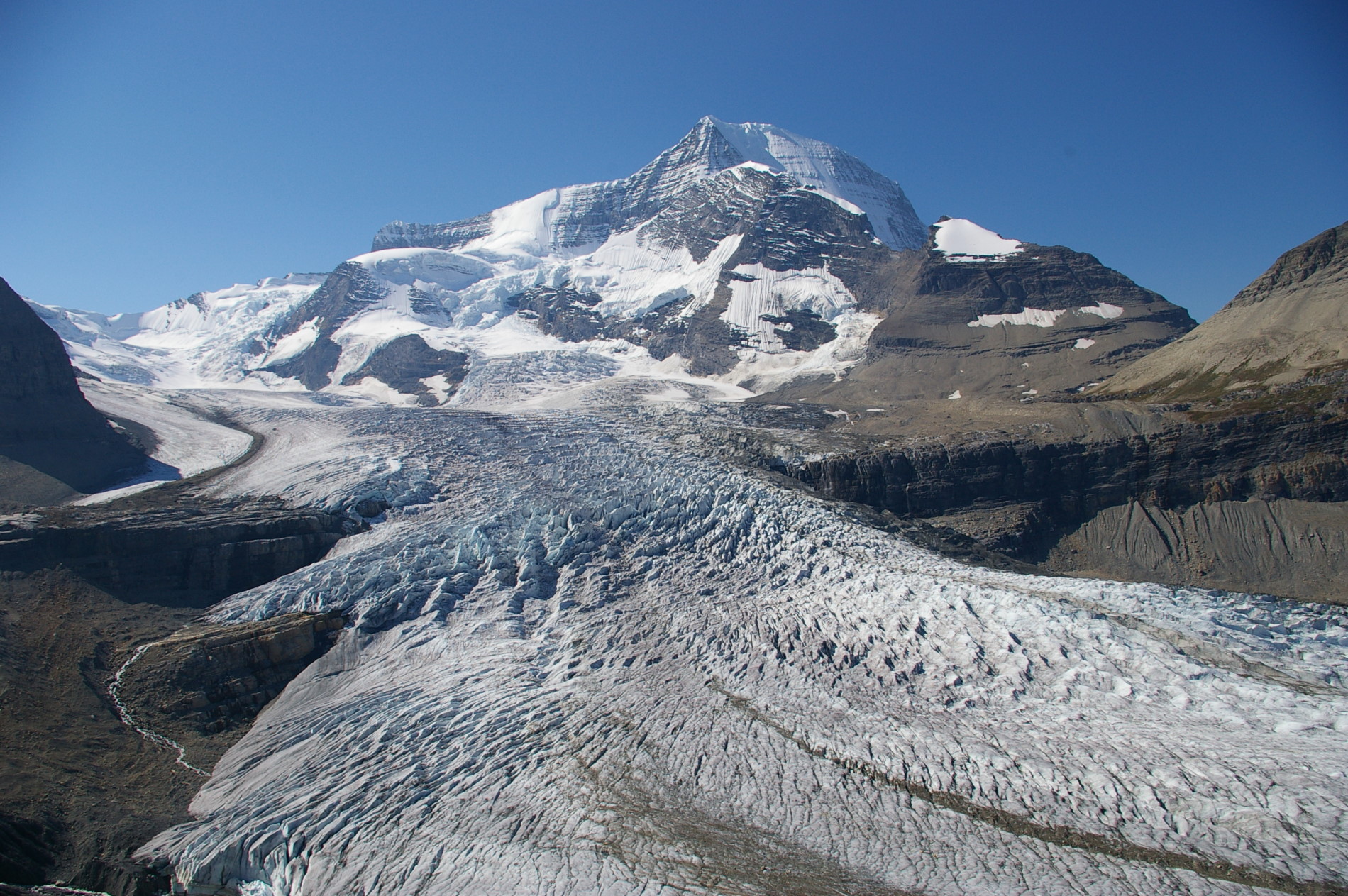
Use the Hargreaves/Toboggan connection above the Berg Lake shore. The published loop can be entered near Marmot campground or from the Toboggan Creek side of Berg Lake campground. Climb toward the Hargreaves Lake lookout for elevated views of the lake, glacier and surrounding peaks, then follow the signed connection toward Toboggan Falls and return to the lakeside trail. The commonly described 6 km loop includes both Hargreaves and Toboggan; a direct out-and-back to one viewpoint is a different outing. Do not add the Mumm Basin connection merely to complete a loop without checking its separate damage and closure information.
Sources reviewed . This is a research date, not a trail inspection.
The locations GPX contains sourced points with their recorded roles. It contains no trail track or connecting route.
Distance
6 kmLoop
Elevation gain
340 mPublished route measurement 340 m for the combined 6 km Hargreaves Lake lookout–Toboggan Falls loop from Berg Lake campground; approach to the campground is additional.
Walking time
2–4 hours
Difficulty
ModerateLoop
Map & elevation
Opening the map…
Elevation profile
A full-route elevation profile is not available yet.
A reusable trail line has not yet been verified for this outing. Any location pin shows the published location described above; it does not draw the hike or establish a navigable approach.
Getting there & parking
From Highway 16, turn into the signed Mount Robson park entrance near the Welcome Centre and follow Kinney Lake Road about 2.3 km to the road-end Berg Lake Trail parking. This is the vehicle access for the whole Berg Lake corridor. The waterfall and upper-basin destinations have no separate road approach. First hike the main corridor to a reserved upper campground near Berg Lake. The side-trip distances on this record begin in that upper area and exclude the much longer approach from the road.
Driving access has not been established for this selected route option; check its original sources.
Map position: 53.05085, -119.21441 · destination reference point. YORA-published shared Berg Lake trailhead This point is not a confirmed starting point for the selected route option.
On the trail
Use the Hargreaves/Toboggan connection above the Berg Lake shore. The published loop can be entered near Marmot campground or from the Toboggan Creek side of Berg Lake campground. Climb toward the Hargreaves Lake lookout for elevated views of the lake, glacier and surrounding peaks, then follow the signed connection toward Toboggan Falls and return to the lakeside trail. The commonly described 6 km loop includes both Hargreaves and Toboggan; a direct out-and-back to one viewpoint is a different outing. Do not add the Mumm Basin connection merely to complete a loop without checking its separate damage and closure information.
Conditions & seasons
The lookout route rises above the lakeshore into exposed terrain. Snow can cover junctions and wet rock can make the steeper sections slippery. Check both the main corridor and individual side-trail advisories before leaving camp.
Robson watercraft and wading equipment restriction
From May 4, 2026, BC Parks prohibits watercraft and wading equipment throughout Mount Robson Park waters to limit aquatic disease spread. This includes powered and unpowered craft, inflatables, wading clothing and boots. The hiking trails are not closed by this notice.
These are dated research notes. Open the trip planner for current available weather and advisory feeds; no alert found does not establish that a trail or road is open.
Overnight stays belong in designated Berg Lake Trail campgrounds, on tent pads or other established sites. Reserve the selected campground during the peak booking season; a day-hike visit does not provide a camping reservation. The corridor has a permanent campfire ban, and water must be treated. Dogs are not allowed on overnight trips. This is a day excursion from the upper campgrounds; no designated camp was verified at the Hargreaves viewpoint.
Descriptions are written for this guide from the linked evidence. Source review dates, published reports and field observations can differ. Photographs and route lines retain their own attribution and reuse terms.