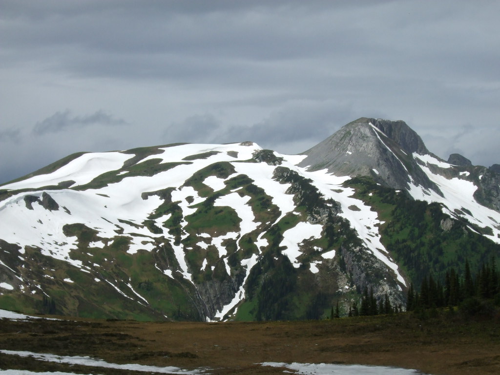
Long forest approach to mountain lake; cabins and canoe are privately owned, not abandoned public facilities.
Sources reviewed . This is a research date, not a trail inspection.
Check access before you leave
Gleason FSR washout blocks access
A June 2026 source update reports a complete washout around Gleason FSR kilometre 2, with the creek flowing through the road. The older July 2023 description of vehicle access to kilometre 17.5 is superseded; no reopening was established.
The locations GPX contains sourced points with their recorded roles. It contains no trail track or connecting route.
Distance
22 kmRound trip
Elevation gain
349 mPublished route measurement
Walking time
6–8 hours one way; not a 6–8 hour return day hike
Difficulty
ModerateThere and Back
Map & elevation
Opening the map…
Elevation profile
A full-route elevation profile is not available yet.
A reusable trail line has not yet been verified for this outing. Any location pin shows the published location described above; it does not draw the hike or establish a navigable approach.
Getting there & parking
The historical approach uses Pass Lake FSR to the McGregor bridge and then Gleason FSR.
Do not assume that the old kilometre-17.5 trailhead is vehicle-accessible: the June 2026 washout near kilometre 2 is reported to carry the full creek flow.
Parking: Historical parking is about 200 m up the old road branching left from Gleason FSR at kilometre 17.5. The club’s June 2026 report places an impassable washout near Gleason FSR kilometre 2, well before this parking.
Full access notes
The historical approach uses Pass Lake Forest Service Road to the McGregor bridge and then Gleason Forest Service Road to an old spur near kilometre 17.5, with parking about 200 m along the spur. However, a June 2026 report states that Gleason Road is completely washed out around kilometre 2 with the creek flowing through it. The old parking directions are therefore historical access information, not a currently verified drive. Obtain confirmation of repairs or a legitimate alternative approach before planning the hike; do not drive into the washout.
Map position: 54.06523, -121.08919 · start point of published trip track (parking unverified). Embedded trip-map feature 'HedrickLakeMay2025': first recorded coordinate [-121.089188, 54.065228].
Point extracted from the original public trip map. A track start is evidence of where recording began, not certification of parking, legal access, road suitability or the complete route. The Ramblers reports a Gleason FSR washout near2km in June2026; this2025 recorded start must not imply the road is now passable.
On the trail
From the historical parking, follow the old road for about 2 km.
Look for the ribbon-marked left turn onto the lake trail; continuing straight stays on the old road.
The lake trail has brushy sections. The rough west-shore continuation toward Gleason Lake is an additional route, not part of the ordinary Hedrick Lake return.
Full route notes
From the historical upper start, the first approximately 2 km follow an old road. Watch for the left-hand flagged departure onto the actual Hedrick Lake trail, because the old road continues beyond that point. The route can be brushy and requires attention to ribbon markers before reaching the mountain-ringed lake. A rough path on the west shore leads toward possible extensions to Gleason Lake and the plateau, but those are separate, less defined trips. The published 22 km return hiking distance assumes the upper road access; it does not include the additional approach caused by the lower washout.
The way back
The source gives 22 km return from the historical start and 6–8 hours for one direction. The reported road washout may prevent access or add a major approach; do not apply those figures unchanged to an alternative start.
The June 2026 forest-road washout is the controlling access issue until repairs are confirmed. Older 2022–2023 clearing and road reports do not override that later closure of the driveable approach.
These are dated research notes. Open the trip planner for current available weather and advisory feeds; no alert found does not establish that a trail or road is open.
The two outfitter cabins and canoe at Hedrick Lake are privately owned and have not been abandoned. Obtain the owner’s permission before using them; their presence does not provide public accommodation or equipment. Current route access must also be resolved before booking a stay.
Photos of Hedrick Lake
A photograph with confirmed reuse permission has not yet been added to this guide.
Original photo galleries
These galleries stay on their photographers’ original websites.
Descriptions are written for this guide from the linked evidence. Source review dates, published reports and field observations can differ. Photographs and route lines retain their own attribution and reuse terms.