Mapped portion · walking direction unconfirmed · 4.23 km
This chart covers only part of the route. It does not establish the full hike or a return journey.
Coverage and elevation sources
4.23 km along source section 1 of 1, in its mapped direction. Approximate 90 m terrain model along this mapped section. Separate sections are not joined. This chart does not measure total trail ascent or establish current access; use the guide’s published outing measurements.
The hosted map shows about 13.3 km return to the farther lakeside campground area. This is longer than stopping at the lake outlet. Follow current BC Parks access and dog rules.
Mapped named trail. Shows the lower Berg Lake source section toward the Kinney Lake outflow. It stops at the mapped junction near the lake and does not include the farther Kinney Lake campground, return journey or full Berg Lake trail. Line source (opens original source).
Getting there & parking
From Highway 16, turn into the signed Mount Robson park entrance near the Welcome Centre and follow Kinney Lake Road about 2.3 km to the road-end Berg Lake Trail parking. This is the vehicle access for the whole Berg Lake corridor. The waterfall and upper-basin destinations have no separate road approach.
Estimated drive from Prince George: 4 hr 0 min · 290.7 km. Modeled one-way driving time from Prince George City Hall, using mapped road speeds. Forest-road sections can take substantially longer: surface, clearance, radio procedures, gates, washouts, plowing, and legal access are not verified by the router. No live traffic or invented forest-road multiplier is included. Allow extra time and check the dated access notes.
Map position: 53.05085, -119.21441 · trailhead. source-published; not field-verified
On the trail
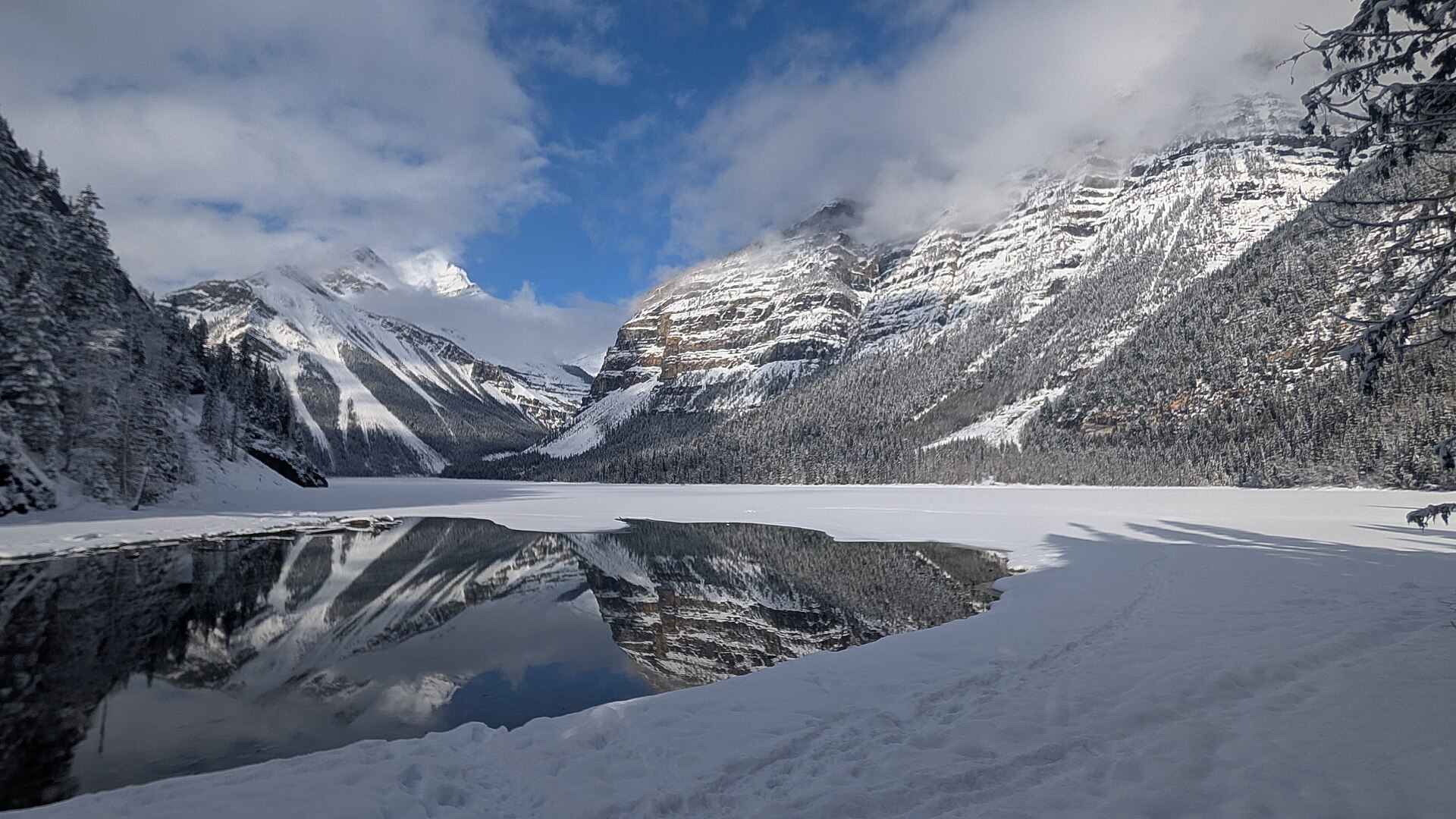
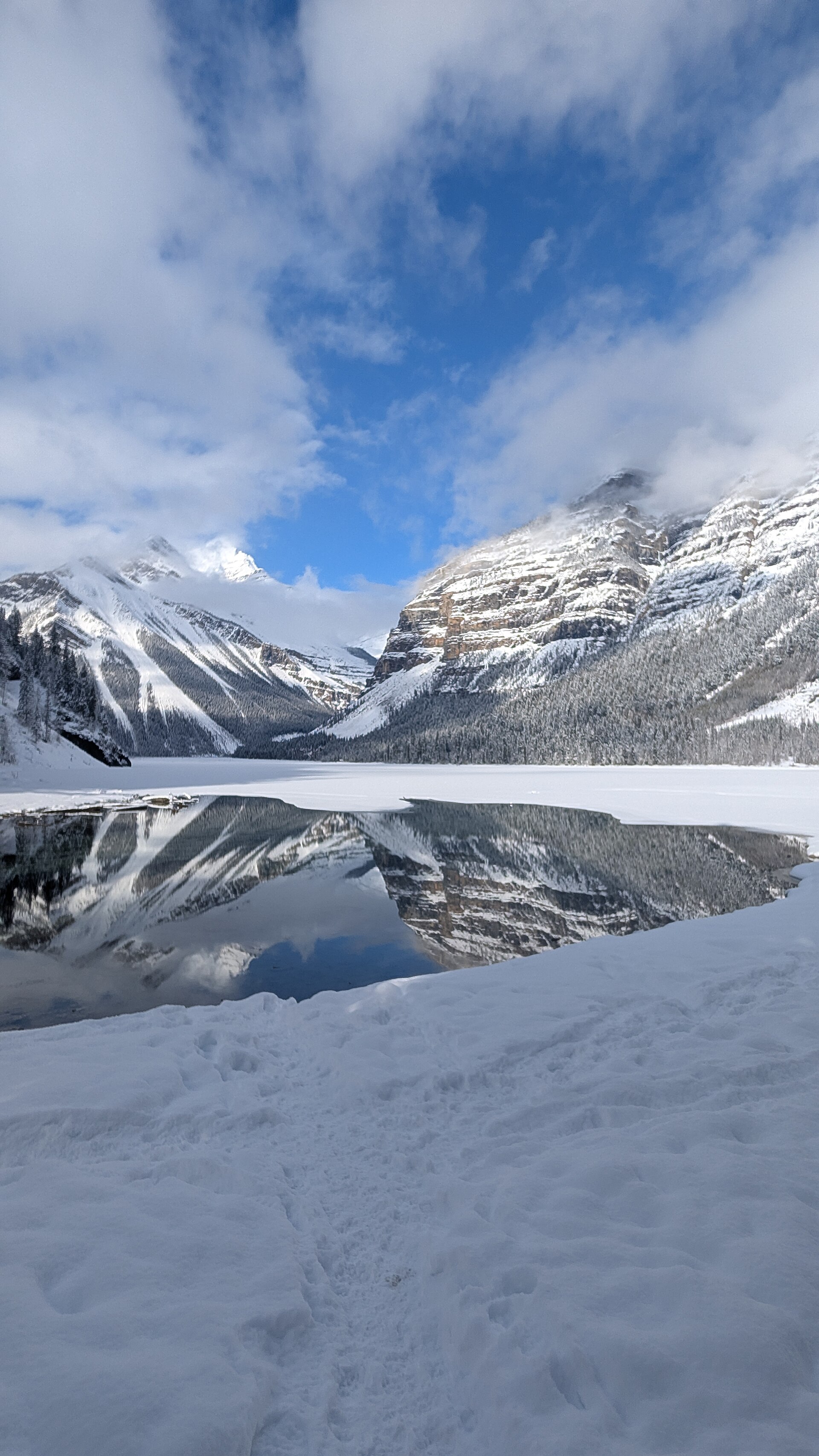
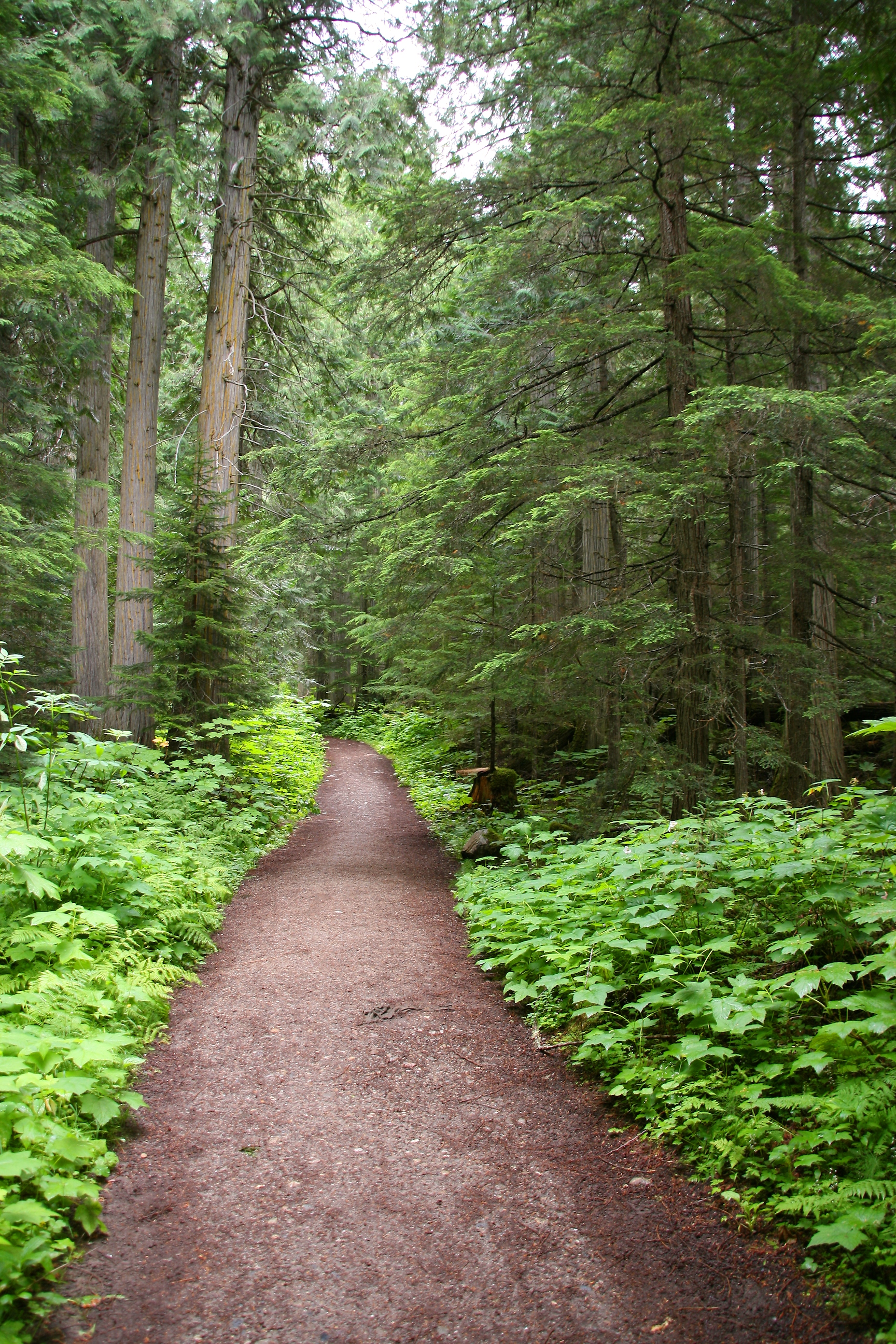
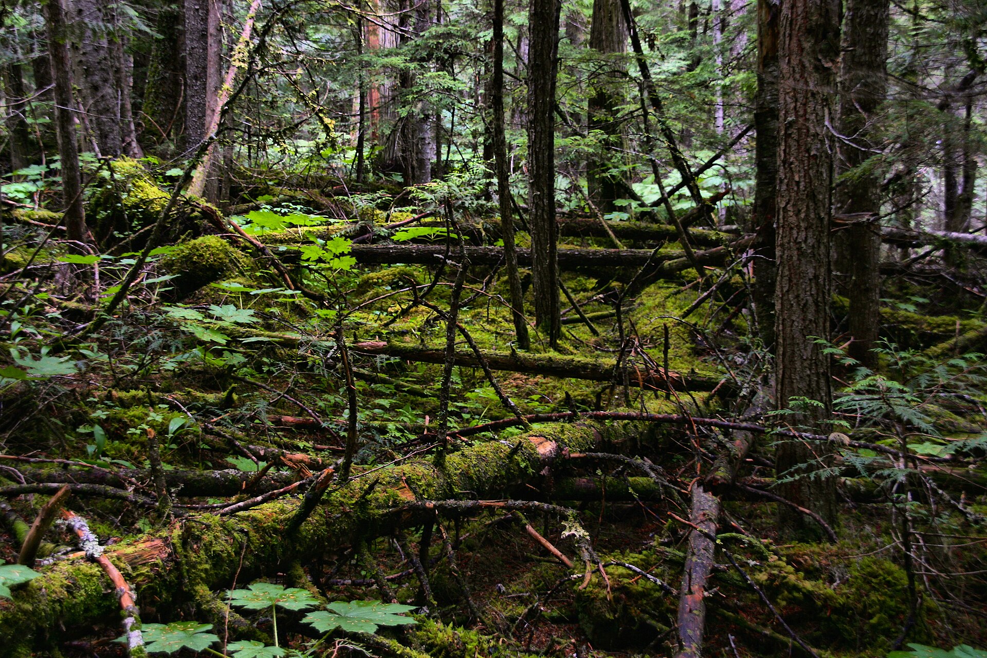
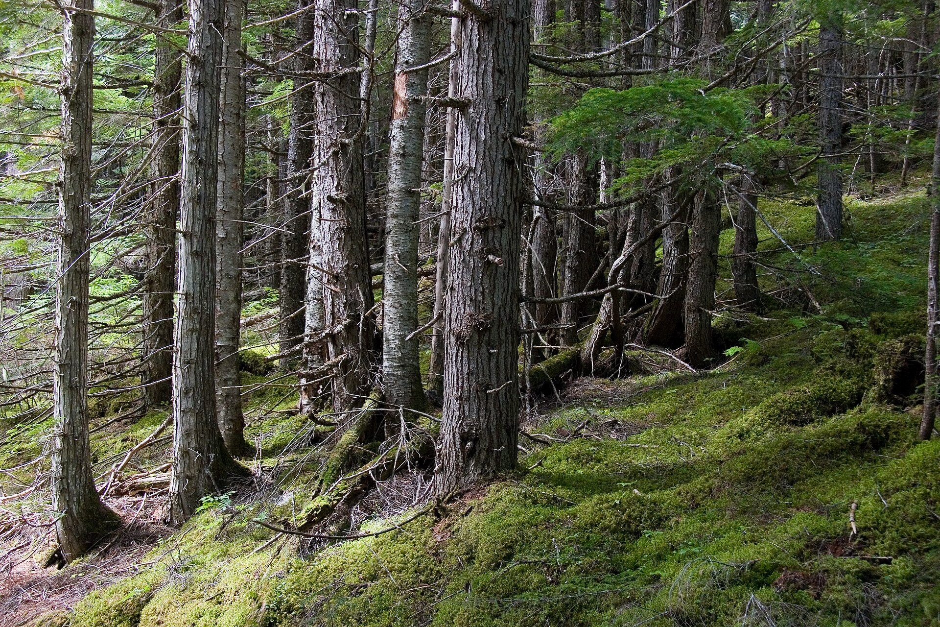
Start on the broad Berg Lake Trail and follow the Robson River upstream through cedar-hemlock forest. The maintained approach still has rolling climbs, protruding rocks and several steeper sections. After a river bridge near the first lake views, signed paths offer a short shoreline approach or a forest alternative. Stop at the lake viewpoint for the ordinary day outing, then return to the same parking lot. Continuing farther along the lakeshore to Kinney campground makes a longer hike; the campground is around 6.5 km from the trailhead in the 2025 route account. The selected 10 km return figure refers to the local hiking guide’s lake outing, not a guarantee that every picnic or campground stop is the same distance.
Accessibility
YORA reports slopes as steep as roughly 25%; this route is not described as wheelchair accessible.
Conditions & seasons
The local trail guide recommends spring through autumn for ordinary hiking. Winter snowshoeing and ski touring occur, but parts of the approach have avalanche exposure. Check the current park advisory and snow conditions before choosing a winter outing.
Robson watercraft and wading equipment restriction
From May 4, 2026, BC Parks prohibits watercraft and wading equipment throughout Mount Robson Park waters to limit aquatic disease spread. This includes powered and unpowered craft, inflatables, wading clothing and boots. The hiking trails are not closed by this notice.
These are dated research notes. Open the trip planner for current available weather and advisory feeds; no alert found does not establish that a trail or road is open.
Kinney Lake campground lies beyond the first lake viewpoint. Overnight stays require the appropriate Berg Lake Trail booking during the peak season and must use designated sites. Day-use picnic space is not an unreserved tenting area. Treat drinking water and use a stove; the Berg Lake corridor prohibits campfires.
Descriptions are written for this guide from the linked evidence. Source review dates, published reports and field observations can differ. Photographs and route lines retain their own attribution and reuse terms.