Follow the Berg Lake Trail from the parking area to the Robson River bridge at the outlet of Kinney Lake. Stop on the north side at the shoreline-path junction and return by the same route. This option ends before the lake-shore and campground extensions.
Sources reviewed . This is a research date, not a trail inspection.
Approx. 250 mTerrain-model estimate; not a surveyed measurement.
Walking time
Not published
Difficulty
ModerateOut and back
How the elevation gain was established
Outing: out-and-back outing from Published hiking start to Kinney Lake outlet and back; 8.46 km along the mapped itinerary
Copernicus DEM 2021 GLO-90 via Open-Meteo (90 m resolution). v7-smoothed-ascent-1: interpolate retained terrain samples at 100 m spacing; apply one triangular 1:2:1 smoothing pass over ±100 m; preserve start, finish and documented turnaround heights; sum uphill excursions with a 5 m reversal threshold; round to nearest 10 m.
Approximate terrain-model ascent, not a field or GPS measurement. Coarse cells and smoothing can miss small climbs, switchbacks, structures and sharp terrain. Processing sensitivity is not a statistical confidence interval.
StartPublished hiking start4.2 km · turn aroundKinney Lake outlet8.5 km · back at startPublished hiking start
Approximate terrain elevation. Mapped distance may differ from the published hike distance.
Map and elevation sources
Approximate ground elevation from a 90 m terrain model. Distance follows the mapped itinerary and may differ from published walking distance. This is a terrain-model profile, not a surveyed measurement. Any ascent total is identified separately with its own source or estimation method.
The route ends on the north side of the Robson River outlet bridge at the lake-side path junction. The nearby interpretation board names the lake’s dammed-stream origin. The longer shoreline and campground approaches are excluded. The independently published trailhead is within the validated start tolerance. Returning on the same approach gives this specifically scoped outing.
From Highway 16, turn into the signed Mount Robson park entrance near the Welcome Centre and follow Kinney Lake Road about 2.3 km to the road-end Berg Lake Trail parking. This is the vehicle access for the whole Berg Lake corridor. The waterfall and upper-basin destinations have no separate road approach.
Estimated drive from Prince George: 4 hr 0 min · 290.7 km. Modeled one-way driving time from Prince George City Hall, using mapped road speeds. Forest-road sections can take substantially longer: surface, clearance, radio procedures, gates, washouts, plowing, and legal access are not verified by the router. No live traffic or invented forest-road multiplier is included. Allow extra time and check the dated access notes.
Map position: 53.05085, -119.21441 · trailhead. source-published; not field-verified
On the trail
Follow the Berg Lake Trail from the parking area to the Robson River bridge at the outlet of Kinney Lake. Stop on the north side at the shoreline-path junction and return by the same route. This option ends before the lake-shore and campground extensions.
Distance and elevation source notes
Distance is measured from the mapped source line and doubled for the retraced return; it is not a substitute for a differently scoped published outing.
Conditions & seasons
The local trail guide recommends spring through autumn for ordinary hiking. Winter snowshoeing and ski touring occur, but parts of the approach have avalanche exposure. Check the current park advisory and snow conditions before choosing a winter outing.
Robson watercraft and wading equipment restriction
From May 4, 2026, BC Parks prohibits watercraft and wading equipment throughout Mount Robson Park waters to limit aquatic disease spread. This includes powered and unpowered craft, inflatables, wading clothing and boots. The hiking trails are not closed by this notice.
These are dated research notes. Open the trip planner for current available weather and advisory feeds; no alert found does not establish that a trail or road is open.
Kinney Lake campground lies beyond the first lake viewpoint. Overnight stays require the appropriate Berg Lake Trail booking during the peak season and must use designated sites. Day-use picnic space is not an unreserved tenting area. Treat drinking water and use a stove; the Berg Lake corridor prohibits campfires.
Photos of Kinney Lake day hike — Kinney Lake outlet return
A photograph with confirmed reuse permission has not yet been added to this guide.
Surrounding area and context
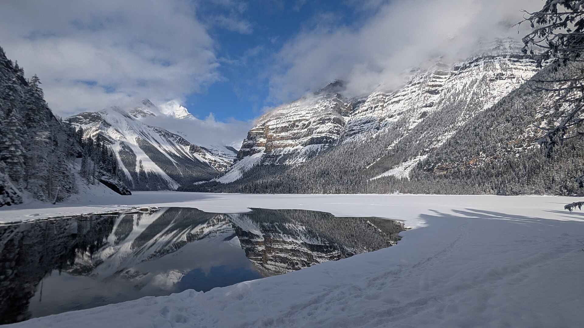
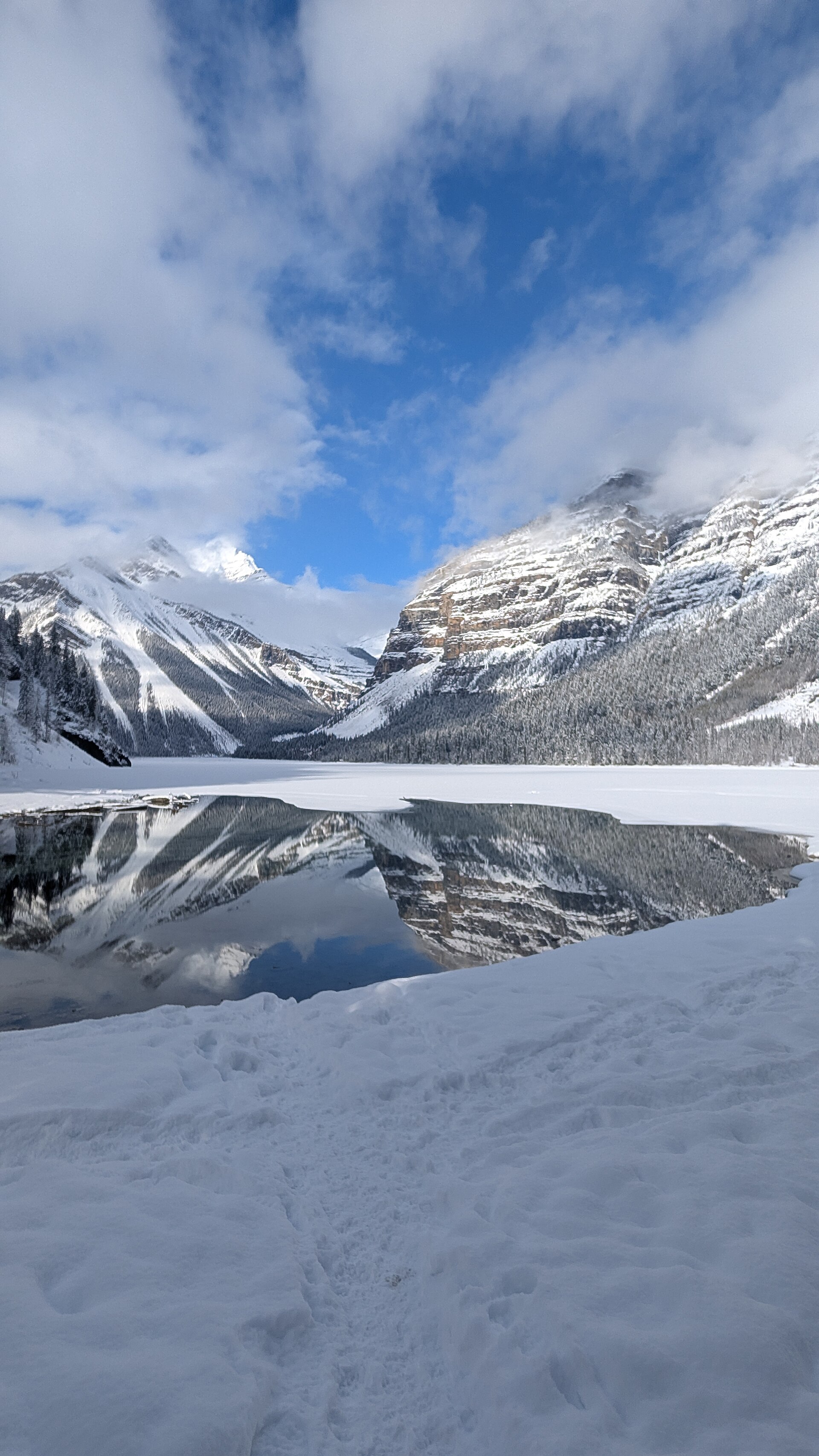
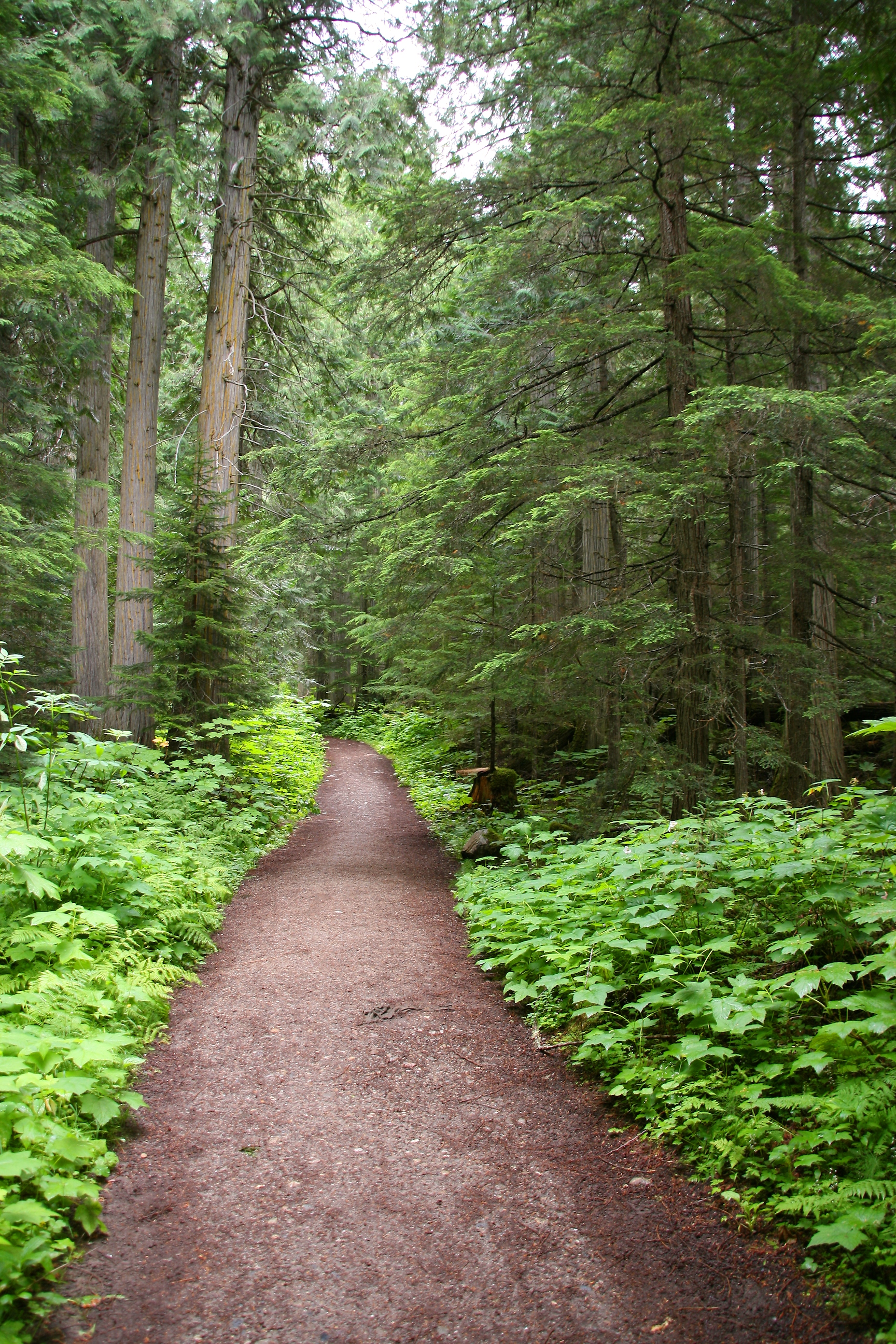
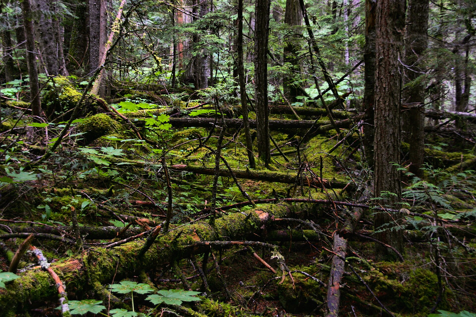
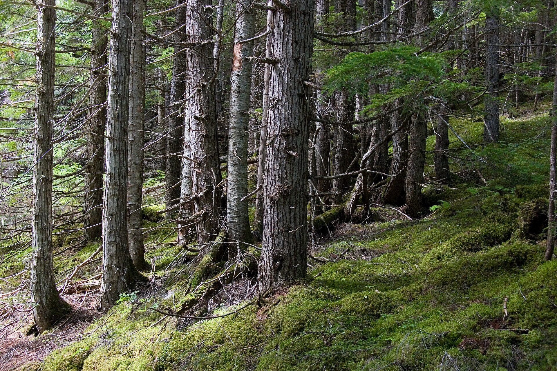
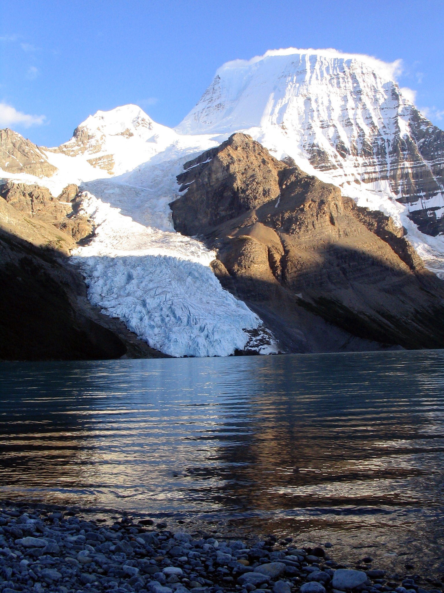
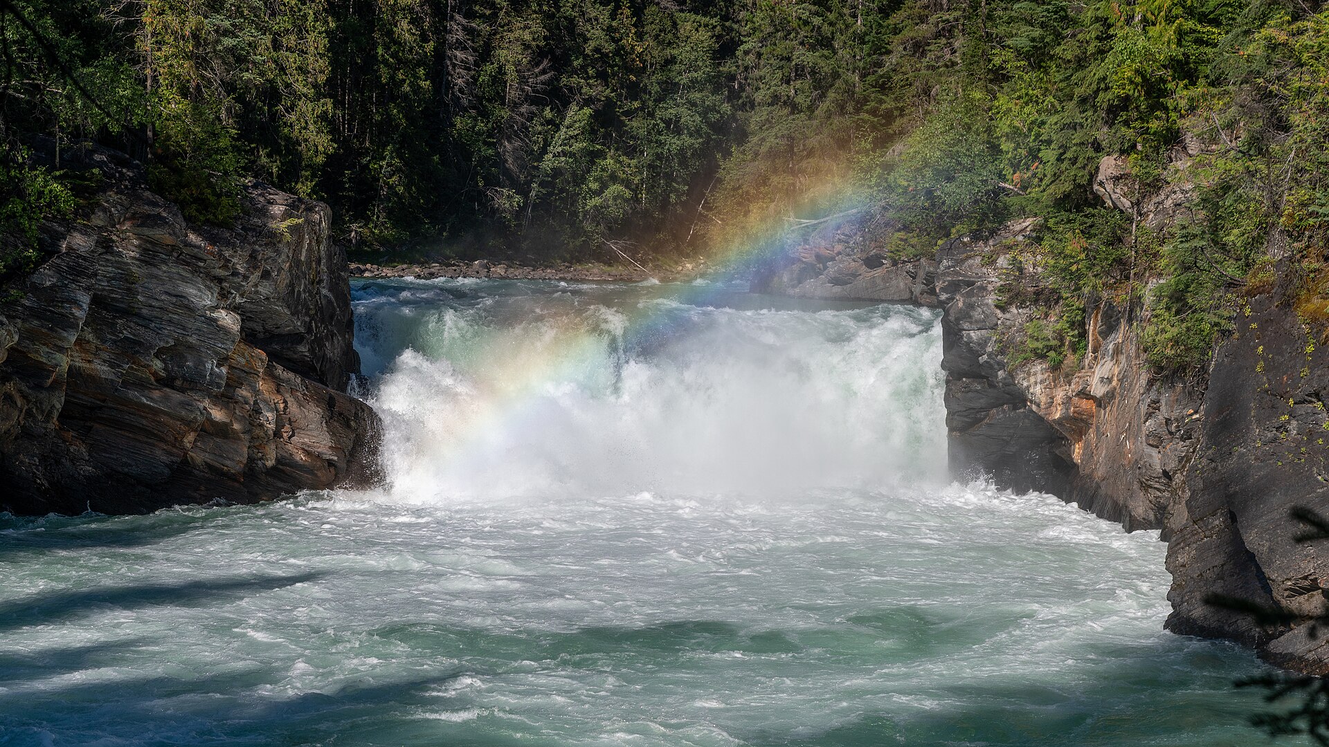
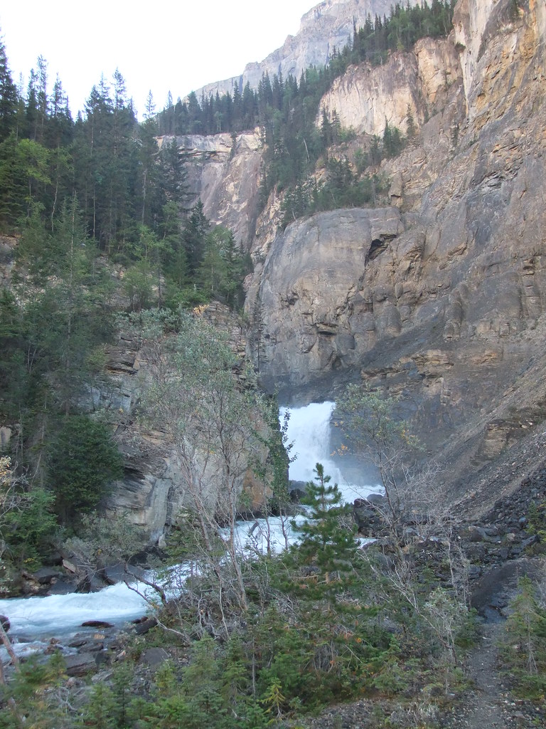
These photographs provide context; they do not establish the appearance of this selected route or facility.
Descriptions are written for this guide from the linked evidence. Source review dates, published reports and field observations can differ. Photographs and route lines retain their own attribution and reuse terms.