Little Lost Lake picnic area — Little Lost Lake circuit
Climb the initial forest slope from the highway and continue on the gentler upper approach to Little Lost Lake, roughly 1.7 km from the start. Two picnic areas are described at the lake, with the second reached to the left along the shore. Continue around the lake on the approximately 1.2 km shoreline loop, then descend by the original approach. The local guide gives about 4.5 km for the complete outing. The separate Little Lost Grind climbs above the lake and is not part of this easier circuit. Watch for fallen trees that may require care to get around.
Sources reviewed . This is a research date, not a trail inspection.
- Distance
- 4.5 kmRound trip
- Elevation gain
- Not establishedCumulative ascent for this outing has not been established.
- Walking time
- 1¾–2½ hoursdepending on picnic or circuit option
- Difficulty
- Not ratedOut and back with optional lake loop
Map & elevation
Partial elevation profile
Mapped portion · walking direction unconfirmed · 2.74 km
This chart covers only part of the route. It does not establish the full hike or a return journey.
Coverage and elevation sources
2.74 km along source section 1 of 1, in its mapped direction. Approximate 90 m terrain model along this mapped section. Separate sections are not joined. This chart does not measure total trail ascent or establish current access; use the guide’s published outing measurements.
Copernicus GLO-90 terrain elevations via Open-Meteo (CC BY4.0); linework: Open Database License (ODbL) 1.0 · checked 2026-10-18 · CC BY4.0 elevation data; Open Database License (ODbL) 1.0 linework. Copernicus DEM 2021 GLO-90 via Open-Meteo. Linework source: https://www.openstreetmap.org/way/371939999. Sampled and rounded for display.
Mapped named trail. The named lake path is mapped; confirm the circuit branches on the ground. The Little Lost Grind is a separate approach. Line source (opens original source).
Getting there & parking
From the Highway 5/16 junction at Tête Jaune Cache, travel east on Highway 16 for about 1.5 km. Park in the pullout at the avalanche-control gates beyond the weigh scales, keeping the gates and operational space clear. Cross the highway carefully, then walk a short distance back toward the trailhead sign among the trees on the north side. The lake is reached on foot; the roadside pullout is the vehicle access.
Driving access has not been established for this selected route option; check its original sources.
Map position: 52.97896, -119.39723 · destination reference point. source-published; not field-verified This point is not a confirmed starting point for the selected route option.
On the trail
Climb the initial forest slope from the highway and continue on the gentler upper approach to Little Lost Lake, roughly 1.7 km from the start. Two picnic areas are described at the lake, with the second reached to the left along the shore. Continue around the lake on the approximately 1.2 km shoreline loop, then descend by the original approach. The local guide gives about 4.5 km for the complete outing. The separate Little Lost Grind climbs above the lake and is not part of this easier circuit. Watch for fallen trees that may require care to get around.
Conditions & seasons
The local guide recommends spring, summer and autumn for the ordinary lake walk. Mosquitoes can be persistent in summer; wet weather particularly affects the exposed Grind extension. Highway access and snow can change a winter visit.
These are dated research notes. Open the trip planner for current available weather and advisory feeds; no alert found does not establish that a trail or road is open.
Camping & overnight plans
The current local guide describes picnic facilities and an outhouse, and explicitly prohibits fires. It does not confirm an operating campground or current overnight permission; historical tent-pad references should not be treated as a present booking entitlement.
Photos of Little Lost Lake picnic area — Little Lost Lake circuit
A photograph with confirmed reuse permission has not yet been added to this guide.
Original photo galleries
These galleries stay on their photographers’ original websites.
- Little Lost Lake Trail — photographs (opens original source) · Hike Valemount / YORA
Take this guide with you
Choose a trip pack or an available individual sheet for your map case.
Sources, dates & research notes
Descriptions are written for this guide from the linked evidence. Source review dates, published reports and field observations can differ. Photographs and route lines retain their own attribution and reuse terms.
Nearby and related guides
- Hikes · Valemount & Mount Robson
Little Lost Grind
Steep minimally maintained extension.
Read the access and route notesRead guide → - Hikes · Valemount & Mount Robson
Little Lost Lake circuit
Adds circuit around lake.
Moderate / 4.5 km round tripRead guide → 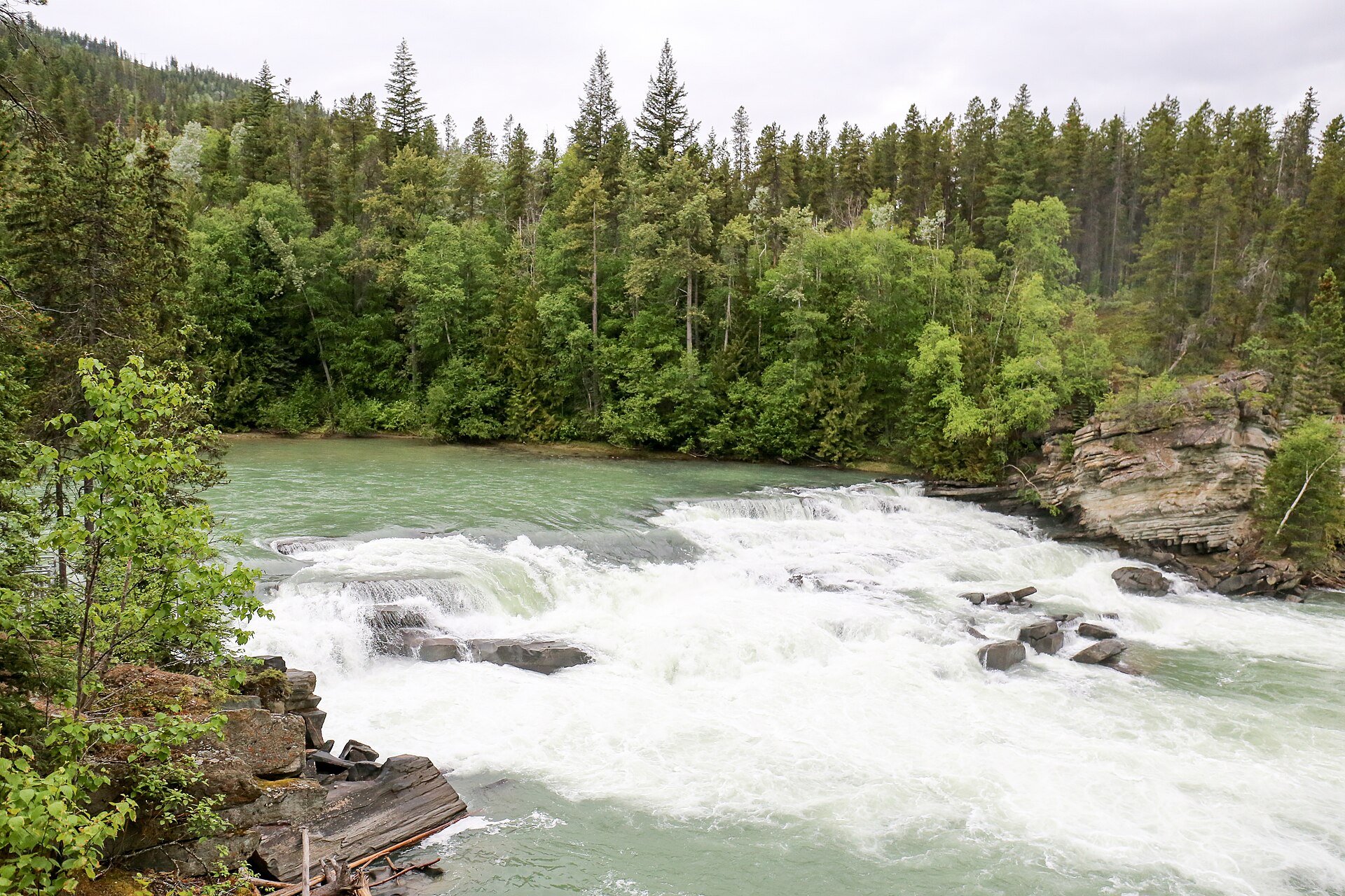 Photo: Ralf Lotys (Sicherlich) · CC BY 4.0Waterfalls · Valemount & Mount Robson
Rearguard Falls
Designated trail to fenced falls viewpoint.
0.4 km round trip / 30 m gainRead guide →- Hikes · Valemount & Mount Robson
Jackman Flats Big Dune Trail
Interconnected sandy pine-and-lichen trail network.
Moderate / 6.2 km loopRead guide → - Hikes · Valemount & Mount Robson
Jackman Flats Juniper Trail
Interconnected sandy pine-and-lichen trail network.
Moderate / 3.4 km loopRead guide → - Hikes · Valemount & Mount Robson
Jackman Flats Lichen Loop
Interconnected sandy pine-and-lichen trail network.
Moderate / 2.3 km loopRead guide →