Morfee Falls
A branch from the Morfee Lake Perimeter Trail reaches a creekside view of Morfee Falls. The official walking endpoint is a view from the creek, while reaching the base involves additional hazardous crossings outside that maintained endpoint.
Sources reviewed . This is a research date, not a trail inspection.
- Distance
- 8 kmRound trip
- Elevation gain
- Not establishedCumulative ascent for this outing has not been established.
- Walking time
- Not published
- Difficulty
- Easyout-and-back
Map & elevation
Partial elevation profile
Mapped portion · walking direction unconfirmed · 0.65 km
This chart covers only part of the route. It does not establish the full hike or a return journey.
Coverage and elevation sources
0.65 km along source section 1 of 1, in its mapped direction. Approximate 90 m terrain model along this mapped section. Separate sections are not joined. This chart does not measure total trail ascent or establish current access; use the guide’s published outing measurements.
Copernicus GLO-90 terrain elevations via Open-Meteo (CC BY4.0); linework: Open Database License (ODbL) 1.0 · checked 2026-10-18 · CC BY4.0 elevation data; Open Database License (ODbL) 1.0 linework. Copernicus DEM 2021 GLO-90 via Open-Meteo. Linework source: https://www.openstreetmap.org/way/81798587. Sampled and rounded for display.
Mapped named trail. Shows the mapped Morfee Canyon footpath near the falls. It does not include every lakeshore connector or the separate lake circuit. Line source (opens original source).
Getting there & parking
From McIntyre Drive and Mackenzie Boulevard, travel north for 2.1 km and turn right onto Morfee Mountain Road.
Continue 1.7 km to the second bridge. The walking trail leaves on the right before the bridge.
Parking: The May 2021 brochure identifies parking at the second bridge on Morfee Mountain Road, or a north-side pullout about 200 m before it.
Full access notes
From the intersection of McIntyre Drive and Mackenzie Boulevard, travel north for 2.1 km and turn right onto Morfee Mountain Road. Continue 1.7 km to the second bridge. The May 2021 brochure identifies parking beside the bridge or at a pullout on the north side of the road about 200 m before it; park without obstructing the road or bridge. The perimeter trail starts on the right before the bridge. The lake campground is an alternative entrance with a different approach distance.
Map position: 55.35488, -123.05779 · waterfall destination. OSMnode916280646 names MorfeeFalls and classifies waterway=waterfall. Waterfall point reached on foot, not the Morfee Mountain Road parking position.
On the trail
Follow the lake perimeter path through cottonwoods and up the switchbacks.
At the branch toward the narrows, about 3 km from the road, keep left.
A few hundred metres farther, keep left again at the falls junction; the right branch continues around the lake.
Climb the final roughly 800 m to the creekside viewpoint. Wet ground and localized washouts are described on this hillside.
Full route notes
Follow the packed-earth perimeter trail through cottonwoods and then climbing switchbacks. About 3 km from the road start, pass a branch to the narrows on the right and keep left. After a few hundred metres, keep left again at the falls junction; the right branch continues around the lake. The final approximately 800 m gains height on a draining hillside where wet ground and washouts are reported. Stop at the official creekside viewpoint, from which the falls are visible farther away, then reverse the approach. Going directly to the base requires repeated creek crossings on slippery rock in fast water and is not part of the ordinary walking route. The brochure’s 4 km one-way distance and unusually high printed gain are separate source claims; do not combine them with the full lake loop’s measurements.
The way back
Return by the same junctions to Morfee Mountain Road. Repeated creek crossings to stand at the base of the falls are outside the ordinary viewpoint hike.
Distance and elevation source notes
May 2021 MORATA brochure labels elevation gain 750 m. This unusually high figure for the described route requires independent verification; retained as source claim, not silently changed to altitude.
Conditions & seasons
The creek can run especially strongly during spring melt. Winter images and trip reports do not establish a maintained winter route or safe crossing conditions.
These are dated research notes. Open the trip planner for current available weather and advisory feeds; no alert found does not establish that a trail or road is open.
Camping & overnight plans
On-route camping permission has not been established for this outing. Check the relevant land manager before planning an overnight stay; a mapped lake, cabin or previous tent location does not confirm permission.
Photos of Morfee Falls
A photograph with confirmed reuse permission has not yet been added to this guide.
Original photo galleries
These galleries stay on their photographers’ original websites.
- Morfee Falls — local trail association photographs (opens original source) · Mackenzie Outdoor Route & Trail Association
Take this guide with you
Choose a trip pack or an available individual sheet for your map case.
Sources, dates & research notes
Descriptions are written for this guide from the linked evidence. Source review dates, published reports and field observations can differ. Photographs and route lines retain their own attribution and reuse terms.
- https://static1.squarespace.com/static/5cb51544b10f250a5432a780/t/60a333e1ac867859c25c9188/1621308399368/Morfee%2BFalls-Trail%2BBrochure-May%2B2021.pdf (opens original source)
- https://districtofmackenzie.ca/wp-content/uploads/2025/12/DOM-2025TourismGuide-Final-Web2-WithMap-2.pdf (opens original source)
- https://mapcarta.com/N916280646 (opens original source)
- https://districtofmackenzie.ca/wp-content/uploads/2025/06/DOM-2025TourismGuide-Final-Web2.pdf (opens original source)
- https://www.morata.ca/trailmaps-brochures (opens original source)
OpenStreetMap line references (1)
These contributor-mapped features support the map geometry. They are separate from the written access and route sources.
Other route names still being researched (1)
These names appear in source inventories, but an individual walking guide has not been established yet.
- Falls spur only
Details still being researched
- Total route elevation gain not verified; no substitution from summit altitude or waterfall height.
- No site-specific dog rule verified in reviewed sources.
- No on-route/designated camping permission verified.
Nearby and related guides
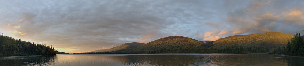 Photo: shootfirstthinklater · CC BY-NC 4.0 · Noncommercial onlyHikes · Mackenzie & Parsnip
Morfee Lake Perimeter
A substantial forest loop circles Morfee Lake, with connections to beaches, the narrows and a separate Morfee Falls branch. It is a longer walk than a quick visit to the…
15 km loopRead guide →- Viewpoints · Mackenzie & Parsnip
Barb Dahl Trail
A short 2.2 km loop in John Dahl Regional Park, with forest walking and viewpoints toward Morfee Lake. It forms part of a connected park network rather than an isolated mountain…
2.2 km loopRead guide → - Viewpoints · Mackenzie & Parsnip
Dick Dauphinee Trail
A short 1.5 km loop in John Dahl Regional Park, with forest walking and viewpoints toward Morfee Lake. It forms part of a connected park network rather than an isolated mountain…
1.5 km loopRead guide → - Hikes · Mackenzie & Parsnip
Gantahaz Lake shoreline trail
A lakeshore loop close to Mackenzie offers a gentle walk and picnic setting. It is also used for winter recreation, but the walking trail and the frozen lake are different…
4.3 km loop / 76 m gainRead guide → 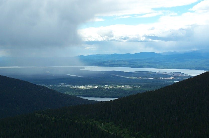 Photo: RTBoughner at English Wikipedia · Public domainViewpoints · Mackenzie & Parsnip
Morfee Mountain alpine viewpoint
A road-accessed alpine viewpoint above Mackenzie looks toward the Rockies, Williston Lake and the town. This record describes the viewpoint visit; named walking and mountain-bike…
Read the access and route notesRead guide →- Hikes · Pine Pass, Chetwynd & Peace
Mount Murray (Pine Pass)
A sustained steep climb above Highway 97 reaches alpine ridges, lakes and several different summit objectives. The first high point, lake basin and main Mount Murray summit must…
Hard / 12 km · trip basis unconfirmed / Not established gainRead guide →