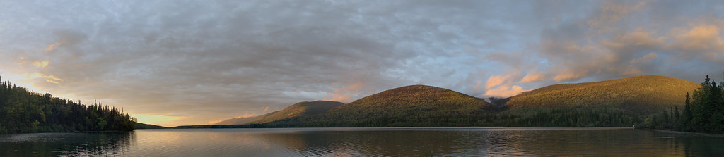
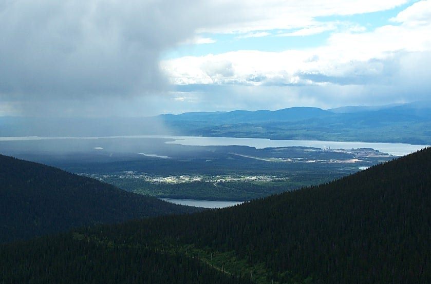
A lakeshore loop close to Mackenzie offers a gentle walk and picnic setting. It is also used for winter recreation, but the walking trail and the frozen lake are different surfaces with different risks.
Sources reviewed . This is a research date, not a trail inspection.
StartGantahaz Lake day-use road end; loop starts nearby3.8 km · back at startGantahaz Lake day-use road end; loop starts nearby
Approximate terrain elevation. Mapped distance may differ from the published hike distance.
Map and elevation sources
Approximate ground elevation from a 90 m terrain model. Distance follows the mapped itinerary and may differ from published walking distance. This is a terrain-model profile, not a surveyed measurement. Any ascent total is identified separately with its own source or estimation method.
The municipal map explicitly depicts a complete shoreline loop and places the day-use parking and amenities on the northeast shore beside Highway 39. The chamber describes the signed left turn from Highway 39 north of Mackenzie. Fresh OSM data identify Gantahaz Lake Road ending 24 m from source-loop vertex 111 in that same northeast access area. The existing named Gantahaz Lake Trail is an exactly closed ring; its arbitrary southwest starting vertex is rotated to vertex 111 without changing any source edge. This begins the loop near the day-use access but does not draw a 24 m connector through the parking area. The mapped loop is 3.757 km; the municipal published 4.3 km is retained as a separate approximate published measure.
The hosted map shows about 3.8 km around the lake, while older listing text and the municipal guide give about 4.3 km. Start points and measurement methods differ; use the selected route’s own figures.
Use the signed Gantahaz Lake picnic and recreation access near Mackenzie. The municipal source identifies the lake and shoreline trail but does not publish a complete road-turn sequence or a specific trailhead parking address. Confirm the entrance with the district’s current local map before leaving town; a lake-centre coordinate is not a parking destination.
Map position: 55.38056, -123.14583 · named destination reference point (not a trailhead). BC Gazetteer: Gantahaz Lake; Lake; 55 22 49 N, 123 08 44 W; WGS84.
Published named-feature location for regional orientation and weather. Does not mark trailhead parking or a specific route viewpoint.
On the trail
Follow the established shoreline path around the lake and return to the picnic access. The district’s 2025 guide lists a 4.3 km loop with 76 m of gain. The lakeside setting also supports paddling and picnicking, so expect other users around the launch or beach access. Winter snowshoeing and ice fishing are mentioned separately by the municipality; those descriptions do not verify ice thickness or make crossing the lake part of the hiking loop. No detailed junction-by-junction account was supplied in the reviewed municipal material.
Conditions & seasons
Walking in spring–fall; snowshoeing in winter.
These are dated research notes. Open the trip planner for current available weather and advisory feeds; no alert found does not establish that a trail or road is open.
On-route camping permission has not been established for this outing. Check the relevant land manager before planning an overnight stay; a mapped lake, cabin or previous tent location does not confirm permission.
Photos of Gantahaz Lake shoreline trail
A photograph with confirmed reuse permission has not yet been added to this guide.
Original photo galleries
These galleries stay on their photographers’ original websites.
Descriptions are written for this guide from the linked evidence. Source review dates, published reports and field observations can differ. Photographs and route lines retain their own attribution and reuse terms.