Mackenzie & Parsnip
Explore Mackenzie, Morfee Mountain and the Parsnip area. Some outings use maintained recreation networks, while others involve mountain roads or rough routes. Compare the specific starting point, terrain and route scope before planning the drive.
8 of 8 places
Open map search →- viewpoint · Mackenzie & Parsnip
Barb Dahl Trail
A short 2.2 km loop in John Dahl Regional Park, with forest walking and viewpoints toward Morfee Lake. It forms part of a connected park network rather than an isolated mountain…
2.2 km loopRead guide → - viewpoint · Mackenzie & Parsnip
Dick Dauphinee Trail
A short 1.5 km loop in John Dahl Regional Park, with forest walking and viewpoints toward Morfee Lake. It forms part of a connected park network rather than an isolated mountain…
1.5 km loopRead guide → 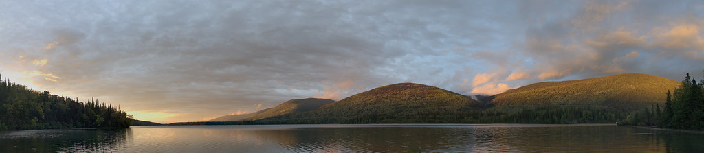 Photo: shootfirstthinklater · CC BY-NC 4.0 · Noncommercial onlyhike · Mackenzie & Parsnip
Morfee Lake Perimeter
A substantial forest loop circles Morfee Lake, with connections to beaches, the narrows and a separate Morfee Falls branch. It is a longer walk than a quick visit to the…
15 km loopRead guide →- waterfall · Mackenzie & Parsnip
Morfee Falls
A branch from the Morfee Lake Perimeter Trail reaches a creekside view of Morfee Falls. The official walking endpoint is a view from the creek, while reaching the base involves…
Easy · 8 km round tripRead guide → - hike · Mackenzie & Parsnip
Gantahaz Lake shoreline trail
A lakeshore loop close to Mackenzie offers a gentle walk and picnic setting. It is also used for winter recreation, but the walking trail and the frozen lake are different…
4.3 km loop · 76 m gainRead guide → 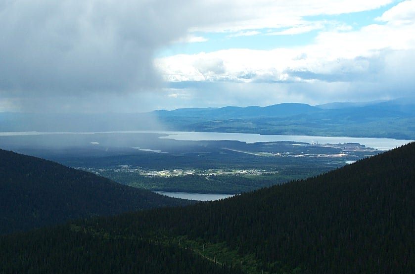 Photo: RTBoughner at English Wikipedia · Public domainviewpoint · Mackenzie & Parsnip
Morfee Mountain alpine viewpoint
A road-accessed alpine viewpoint above Mackenzie looks toward the Rockies, Williston Lake and the town. This record describes the viewpoint visit; named walking and mountain-bike…
Read the approach and route notesRead guide →- waterfall · Mackenzie & Parsnip
Cut Thumb Falls
A creekside forest walk north of Mackenzie ends at an unfenced waterfall. The first half is comparatively level, while the latter half climbs and descends through a series of…
Easy · 5.1 km round trip · 208 m gainRead guide → - hike · Mackenzie & Parsnip
Canty Lake
A steep forest climb reaches a small recreation site beside a lake between mountain ridges. Peace Peak is an additional ascent beyond the lake, with a different distance and…
Moderate · 5.8 km round trip · 2 hours (source does not clarify one way/return)Read guide →