Overlander Falls short route — Overlander Falls riverside route
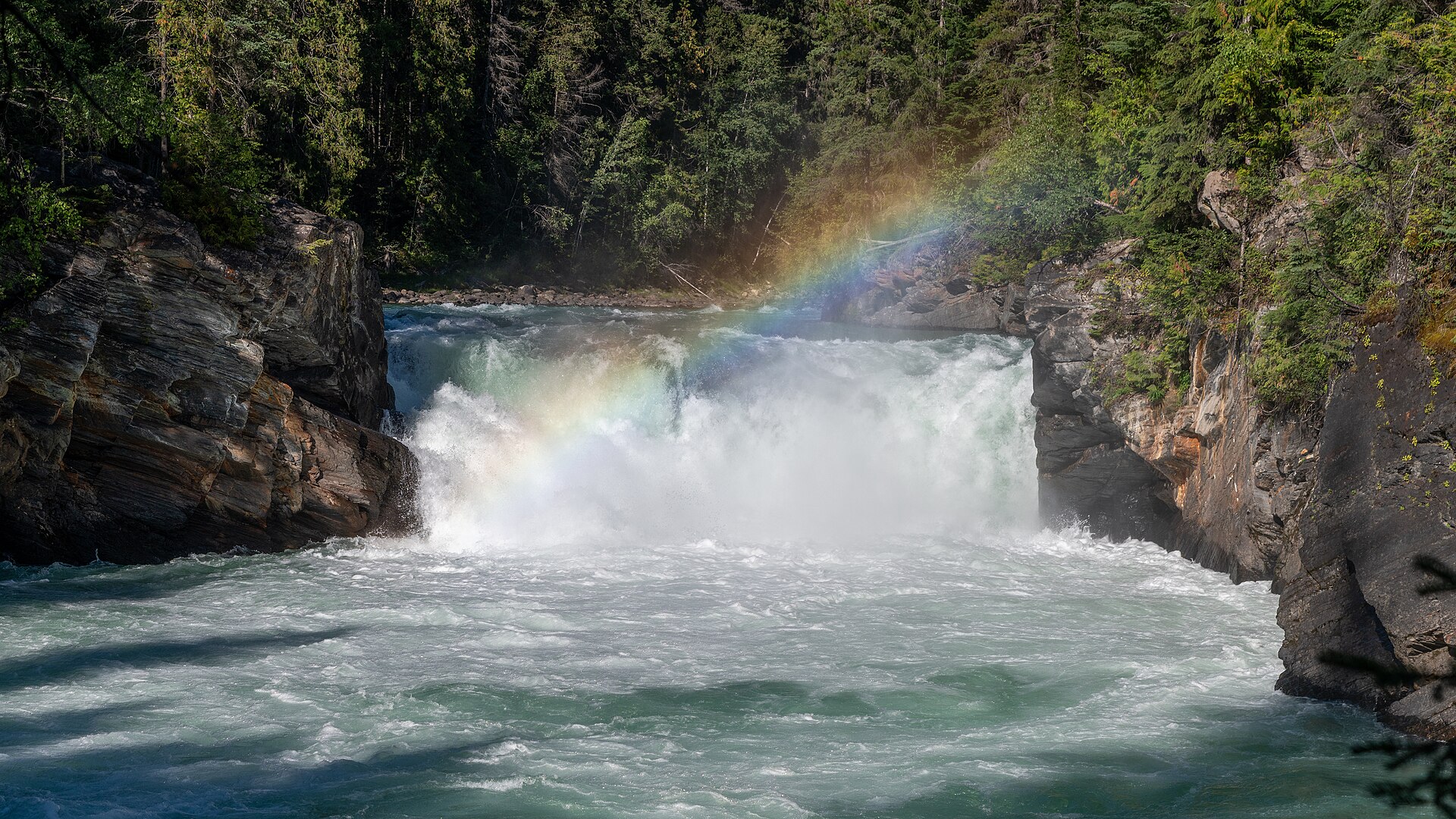
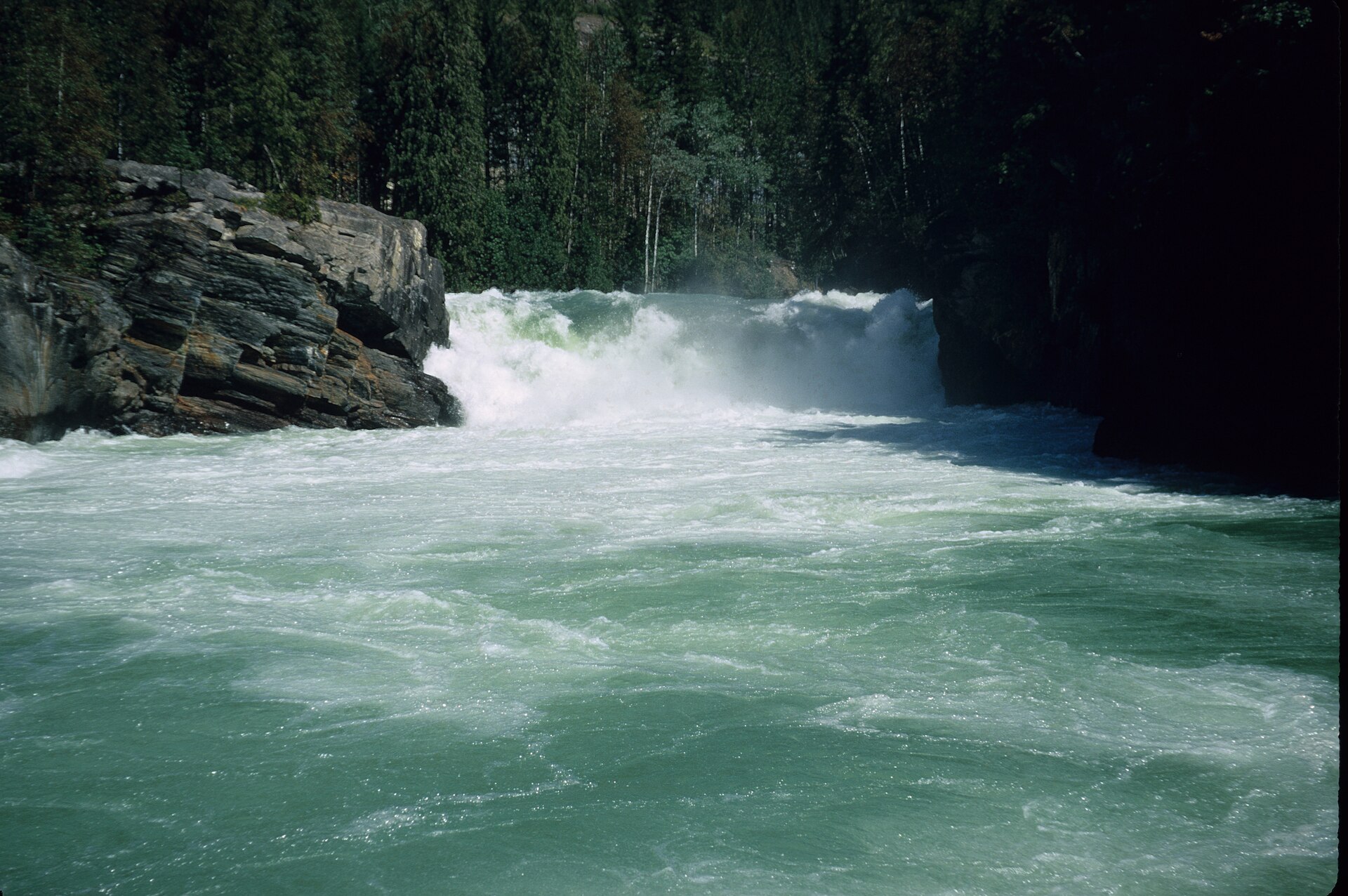
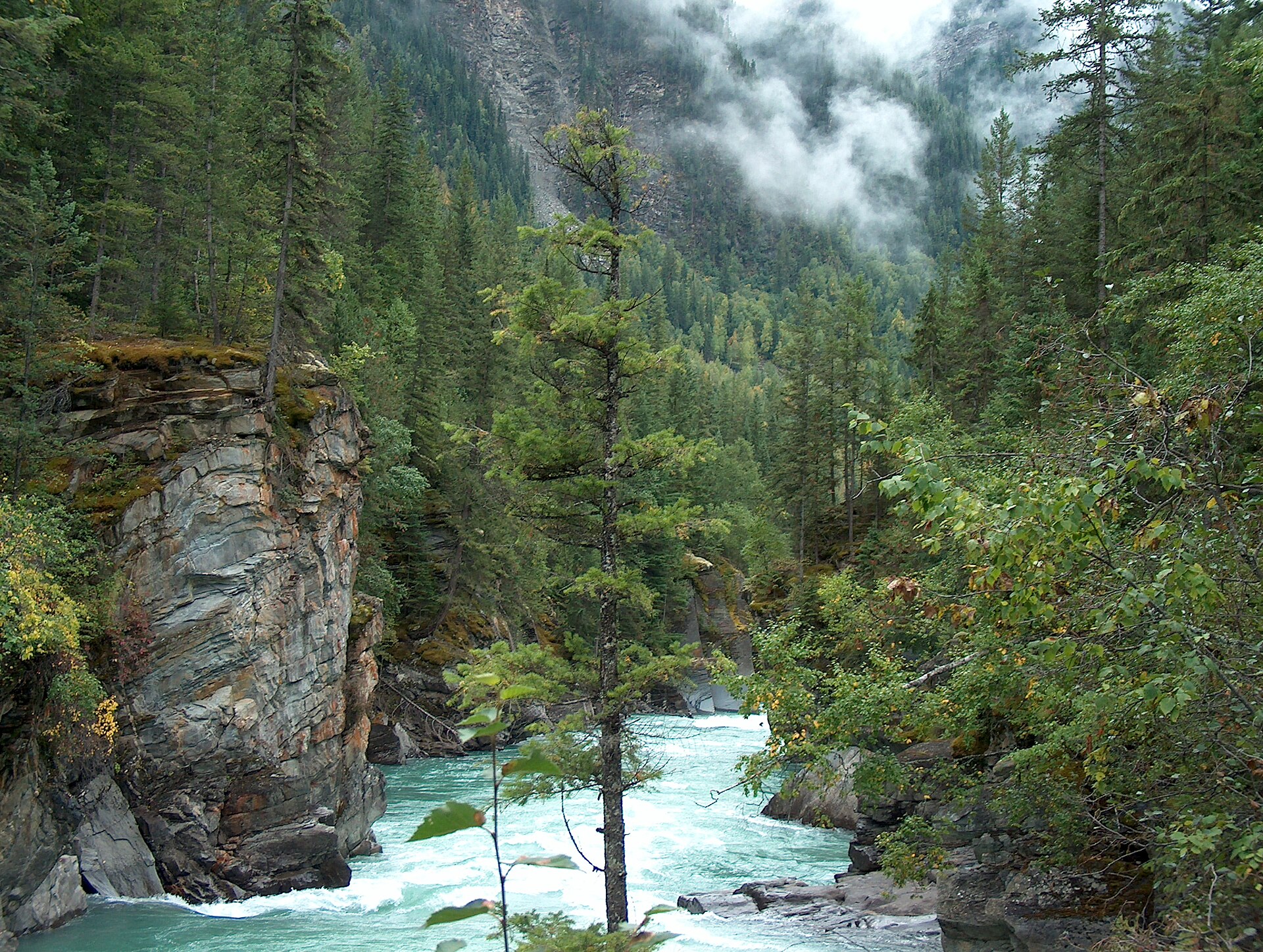
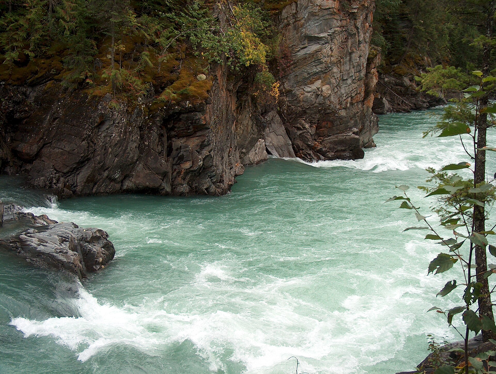
Follow the Fraser River corridor toward Overlander Falls, passing canyon viewpoints and the historic Hogan’s Cabin area. Reach the falls viewing area, then reverse the same river trail for approximately 5 km return. Some sections are narrow above steep drops, and exposed roots require careful footing; this is more demanding than the short highway-side falls path despite its modest total elevation change. Stay back from canyon edges and select the short approach instead if the exposure is unsuitable.
Sources reviewed . This is a research date, not a trail inspection.
- Distance
- 5 kmRound trip
- Elevation gain
- 36 mPublished route measurement
- Walking time
- About 2 hours return
- Difficulty
- Not ratedOut and back
Map & elevation
Elevation profile
Full round trip · approximately 4.6 km mapped
Approximate terrain elevation. Mapped distance may differ from the published hike distance.
Map and elevation sources
Approximate ground elevation from a 90 m terrain model. Distance follows the mapped itinerary and may differ from published walking distance. This is a terrain-model profile, not a surveyed measurement. Any ascent total is identified separately with its own source or estimation method.
The original riverside line ended at the junction below the falls lookout. The licensed short-approach geometry includes the identical junction at vertex27 and the actual viewing area at vertex35. Appending only those existing source edges completes the riverside approach with no straight-line connector. The end is2m from the independently mapped viewpoint and7m from the named Overlander Falls board. The return retraces the same river corridor.
Route source 1Route source 2Route source 3Route source 4Route source 5Route source 6Route source 7Route source 8Route source 9Route source 10Route source 11Route source 12Route source 13Copernicus GLO-90 terrain elevations via Open-Meteo (CC BY4.0); linework: Open Database License (ODbL) 1.0 · checked 2026-10-18 · CC BY4.0 elevation data; Open Database License (ODbL) 1.0 linework. Copernicus DEM 2021 GLO-90 via Open-Meteo. Linework source: https://www.openstreetmap.org/way/304854025. Sampled and rounded for display.
Complete mapped outing from Robson Meadows side river-trail start, including the return on the same route. Line source (opens original source).
Getting there & parking
From Highway 16 opposite the Mount Robson Welcome Centre, turn toward Robson Meadows campground. The local guide places parking just before the bridge and the trail sign on the opposite side, partly among the vegetation. Use this campground-side start for the longer river walk, not the separate signed highway pullout used for the short falls visit.
Driving access has not been established for this selected route option; check its original sources.
Map position: 53.03123, -119.20800 · destination reference point. source-published; not field-verified This point is not a confirmed starting point for the selected route option.
On the trail
Follow the Fraser River corridor toward Overlander Falls, passing canyon viewpoints and the historic Hogan’s Cabin area. Reach the falls viewing area, then reverse the same river trail for approximately 5 km return. Some sections are narrow above steep drops, and exposed roots require careful footing; this is more demanding than the short highway-side falls path despite its modest total elevation change. Stay back from canyon edges and select the short approach instead if the exposure is unsuitable.
Conditions & seasons
The local guide lists year-round use, but snow and ice can change the difficulty, particularly beside the canyon. Summer mosquitoes are common. A year-round listing is not confirmation that the walking surface is cleared or treated in winter.
These are dated research notes. Open the trip planner for current available weather and advisory feeds; no alert found does not establish that a trail or road is open.
Camping & overnight plans
Robson Meadows is the nearby established campground. The falls viewpoints and riverside trail are day-use destinations; arrange any overnight stay in an authorized campground.
Photos of Overlander Falls short route — Overlander Falls riverside route
Take this guide with you
Choose a trip pack or an available individual sheet for your map case.
Sources, dates & research notes
Descriptions are written for this guide from the linked evidence. Source review dates, published reports and field observations can differ. Photographs and route lines retain their own attribution and reuse terms.
- https://hikevalemount.com/overlander-falls-trail/ (opens original source)
- https://routing.openstreetmap.de/about.html (opens original source)
- https://www.alltrails.com/trail/canada/british-columbia/overlander-falls-long-trail (opens original source)
OpenStreetMap line references (12)
These contributor-mapped features support the map geometry. They are separate from the written access and route sources.
- https://www.openstreetmap.org/way/304854025 (opens original source)
- https://www.openstreetmap.org/way/733049940 (opens original source)
- https://www.openstreetmap.org/way/733049941 (opens original source)
- https://www.openstreetmap.org/way/733049942 (opens original source)
- https://www.openstreetmap.org/way/733049943 (opens original source)
- https://www.openstreetmap.org/way/733049944 (opens original source)
- https://www.openstreetmap.org/way/733049945 (opens original source)
- https://www.openstreetmap.org/way/733049946 (opens original source)
- https://www.openstreetmap.org/way/733049947 (opens original source)
- https://www.openstreetmap.org/way/733049948 (opens original source)
- https://www.openstreetmap.org/way/733049949 (opens original source)
- https://www.openstreetmap.org/way/183251147 (opens original source)
Nearby and related guides
- Photo: Christoph Strässler from Oberdorf BL, Schweiz · CC BY-SA 4.0Waterfalls · Valemount & Mount Robson
Overlander Falls riverside route
Fraser-side walk past Hogan's Cabin toward falls.
Moderate / 5 km round trip / 36 m gainRead guide → - Viewpoints · Valemount & Mount Robson
Robson Meadows Lookout
Climb to bench overlooking valley.
Moderate / 6 km round trip / 328 m gainRead guide → - Walks · Valemount & Mount Robson
Journey Through Time
Self-guided interpretive walk.
1 km · trip basis unconfirmedRead guide → 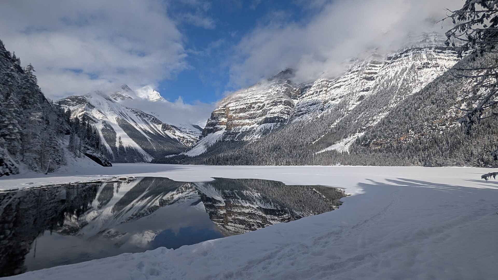 Photo: Joli Rumi · CC BY-SA 4.0Hikes · Valemount & Mount Robson
Kinney Lake day hike
First portion of Berg Lake corridor to lakeside destination.
Moderate / 10 km round trip / 131 m gainRead guide →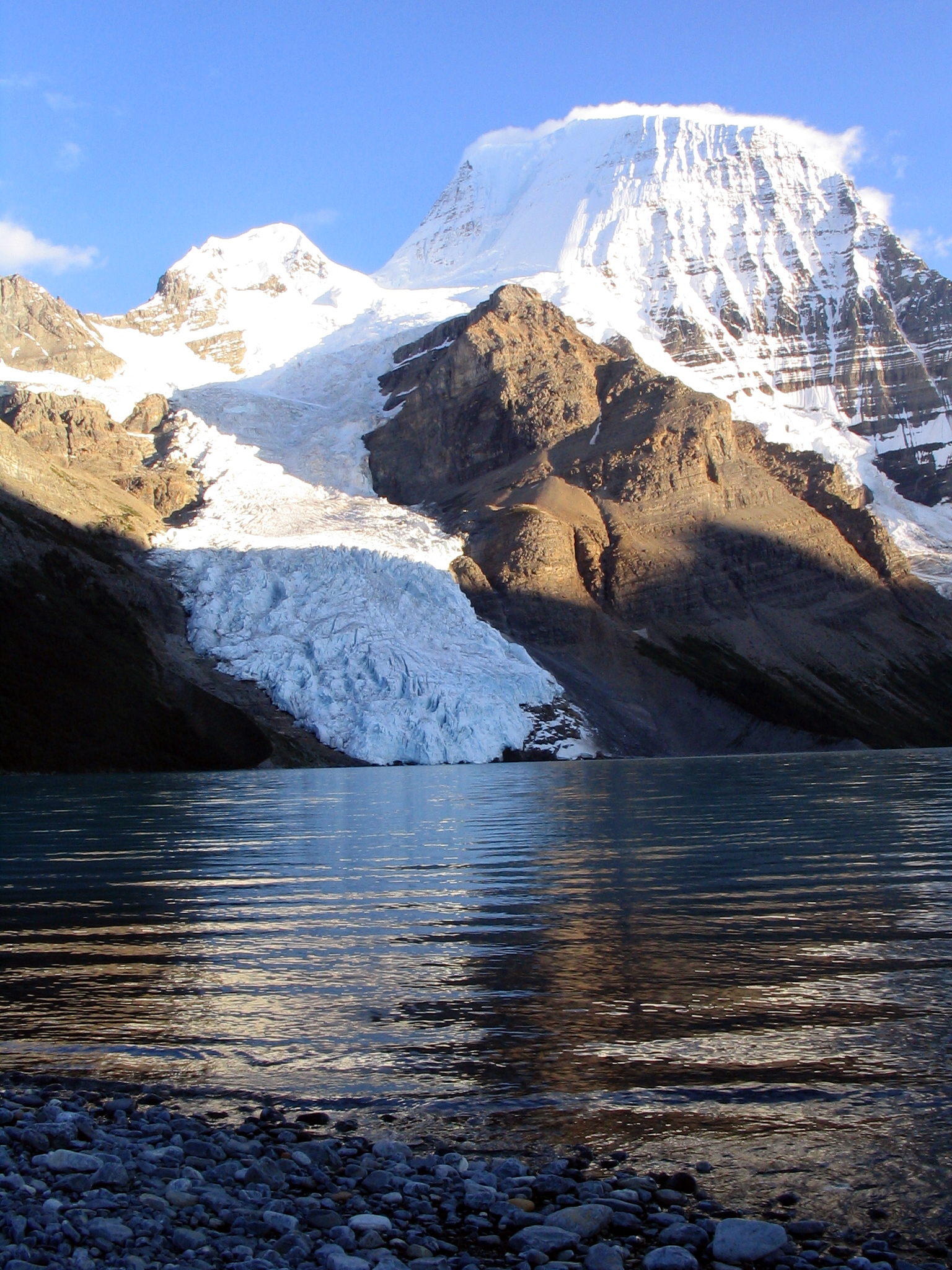 Photo: Airj1012 at English Wikipedia · CC BY 3.0Hikes · Valemount & Mount Robson
Berg Lake Trail / Robson Pass
Kinney–Whitehorn–Emperor–Berg–Robson Pass corridor.
23 km · one way only / Not established gainRead guide →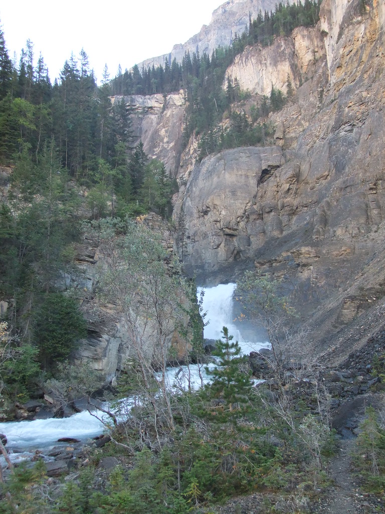 Photo: HandsLive · CC BY 2.0Waterfalls · Valemount & Mount Robson
White Falls
White Falls is one of the first waterfall stops as the Berg Lake Trail steepens beyond Whitehorn. The rocky viewpoints lie well into the backcountry, with the full return passing…
12.3 km · one way onlyRead guide →