Pidherny Recreation Site — Pidherny Sally Housecoat–Lazy Susan
The club publishes an approximately 13 km Sally Housecoat–Lazy Susan outing with 350 m gain. Its exact walking route has not been established.
Sources reviewed . This is a research date, not a trail inspection.
A complete driving approach and parking location have not been established. Read the specific gaps below before choosing this outing.
Read the access notes →The locations GPX contains sourced points with their recorded roles. It contains no trail track or connecting route.
- Distance
- 13 kmTrip basis unconfirmed
- Elevation gain
- 350 mPublished route measurement
- Walking time
- 4–5 hours
- Difficulty
- Not ratedScheduled outing; return arrangement unconfirmed
How the elevation gain was established
Outing: Club scheduled Sally Housecoat–Lazy Susan outing on 2025-08-23; approximately 13 km. Exact start and return arrangement are not documented.
This total is published for the named outing. Other starting points or turnarounds can produce different climbing totals.
Club schedule figure, checked in the original PDF table; measurement method is not stated.
A named scheduled outing is established, but its start, junction sequence and return arrangement still need verification.
Sources checked 2026-10-19.
Map & elevation
Elevation profile
A full-route elevation profile is not available yet.
A reusable trail line has not yet been verified for this outing. Any location pin shows the published location described above; it does not draw the hike or establish a navigable approach.
Getting there & parking
The available sources do not yet establish a complete driving approach for this selected outing. Use the original route sources below before planning the journey.
Driving access has not been established for this selected route option; check its original sources.
Map position: 53.98556, -122.86450 · destination reference point. Source-published recreation project point; not verified parking or trailhead. This point is not a confirmed starting point for the selected route option.
On the trail
The named trails identify the scheduled outing, but the source does not provide a dependable junction sequence, starting access or complete return plan. Confirm those details using the current entrance map and steward information before choosing this outing.
Distance and elevation source notes
These figures belong to this named 2025 club outing, not every path in Pidherny or a shorter option starting elsewhere. No network geometry is presented as its complete route.
Conditions & seasons
Season-specific access has not been established in this guide. Read the dated notices and original land-manager information before choosing a departure date.
These are dated research notes. Open the trip planner for current available weather and advisory feeds; no alert found does not establish that a trail or road is open.
Camping & overnight plans
On-route camping permission has not been established for this outing. Check the relevant land manager before planning an overnight stay; a mapped lake, cabin or previous tent location does not confirm permission.
Photos of Pidherny Recreation Site — Pidherny Sally Housecoat–Lazy Susan
A photograph with confirmed reuse permission has not yet been added to this guide.
Surrounding area and context
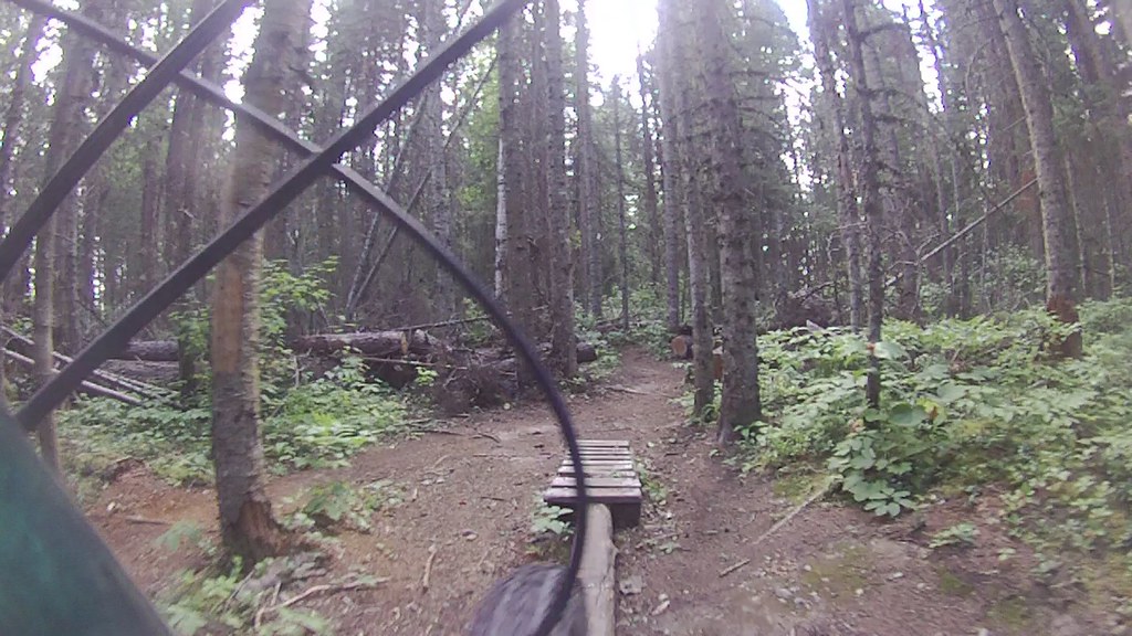
These photographs provide context; they do not establish the appearance of this selected route or facility.
Original photo galleries
These galleries stay on their photographers’ original websites.
- Pidherny April 4, 2026 (opens original source) · Caledonia Ramblers
- Pidherny December 21, 2024 (opens original source) · Caledonia Ramblers
- Lower Pidherny December 7, 2024 (opens original source) · Caledonia Ramblers
- Pidherny July 27, 2024 (opens original source) · Caledonia Ramblers
- Pidherny November 4, 2023 (opens original source) · Caledonia Ramblers
Take this guide with you
Choose a trip pack or an available individual sheet for your map case.
Sources, dates & research notes
Descriptions are written for this guide from the linked evidence. Source review dates, published reports and field observations can differ. Photographs and route lines retain their own attribution and reuse terms.
Other route names still being researched (2)
These names appear in source inventories, but an individual walking guide has not been established yet.
- Upper Pidherny Northern Lights
- Garvin–Pidherny traverse
Details still being researched
- gainM
- distanceKm
- accessibility
- camping
Nearby and related guides
- Parks · Prince George
Otway Trails — Caledonia Nordic
Forest trails within Prince George for summer walks and winter snowshoeing, with a separate ski network and a recently opened paved recreation circuit. Choose trails for the…
Read the access and route notesRead guide → - Hikes · Prince George
Pilot Mountain–Nechako Ridge
An exploratory point-to-point link joins the Pilot Mountain neighbourhood with the Pidherny network and Nechako Ridge lookout. It is longer and less settled than the short Pilot…
Moderate / 7 km · one way onlyRead guide → - Hikes · Prince George
Garvin’s Canyon
A local forest outing from the Pilot Mountain neighbourhood, described for hiking and snowshoeing. The available trip report provides a start and recorded distance but very little…
Moderate / 4.39 km · trip basis unconfirmed / Not established gainRead guide → - Camping · Prince George
Hartway RV Park
A private campground in the Hart area offers serviced RV stays and tent camping near city amenities. The operator advertises year-round RV rentals, while tent availability needs a…
Camping destination · access & overnight informationRead guide → - Walks · Prince George
Nechako Riverside Park
A short constructed path descends from Foothills Boulevard to picnic space beside the Nechako River. It offers a clear, compact outing with accessible facilities and a climb back…
1 km round trip / Approx. 20 m gain · terrain estimateRead guide → - Walks · Prince George
Ferguson Lake Nature Reserve
A mostly gentle circuit around a small lake at Prince George’s northern edge, with boardwalks, a fishing dock and remnants of early homesteads. It is a useful short nature walk…
Easy / 2.4 km loop / 40 m gainRead guide →