Tabor Mountain — Birchleg Trail
From the rail-car parking area, pass the kiosk and gate and follow the Birchleg direction. At the first fork take the right branch toward Hickory Wing Shelter and the history shed. Go east/left from the shed about 100 m to a mapped junction, then keep right for Birchleg. The source's smaller loop keeps right at Birchleg/Sawdust Shelter, right toward Ilse's Inn, right again after that shelter, then right/north onto Hickory Wing. A final right/east turn returns to the start. Junction maps describe additional loops.
Sources reviewed . This is a research date, not a trail inspection.
A complete driving approach and parking location have not been established. Read the specific gaps below before choosing this outing.
Read the access notes →The locations GPX contains sourced points with their recorded roles. It contains no trail track or connecting route.
- Distance
- 10 kmLoop
- Elevation gain
- Not establishedTotal ascent for the named Birchleg loop is unverified; the imported 50 m has no field-specific support.
- Walking time
- 4 hours
- Difficulty
- Not ratedLoop
Map & elevation
Elevation profile
A full-route elevation profile is not available yet.
A reusable trail line has not yet been verified for this outing. Any location pin shows the published location described above; it does not draw the hike or establish a navigable approach.
Getting there & parking
The available sources do not yet establish a complete driving approach for this selected outing. Use the original route sources below before planning the journey.
Driving access has not been established for this selected route option; check its original sources.
Map position: 53.94332, -122.44974 · destination reference point. Source-published recreation project point; not verified parking or trailhead. This point is not a confirmed starting point for the selected route option.
On the trail
From the rail-car parking area, pass the kiosk and gate and follow the Birchleg direction. At the first fork take the right branch toward Hickory Wing Shelter and the history shed. Go east/left from the shed about 100 m to a mapped junction, then keep right for Birchleg. The source's smaller loop keeps right at Birchleg/Sawdust Shelter, right toward Ilse's Inn, right again after that shelter, then right/north onto Hickory Wing. A final right/east turn returns to the start. Junction maps describe additional loops.
Conditions & seasons
Season-specific access has not been established in this guide. Read the dated notices and original land-manager information before choosing a departure date.
These are dated research notes. Open the trip planner for current available weather and advisory feeds; no alert found does not establish that a trail or road is open.
Camping & overnight plans
On-route camping permission has not been established for this outing. Check the relevant land manager before planning an overnight stay; a mapped lake, cabin or previous tent location does not confirm permission.
Photos of Tabor Mountain — Birchleg Trail
A photograph with confirmed reuse permission has not yet been added to this guide.
Original photo galleries
These galleries stay on their photographers’ original websites.
- Tabor Mountain October 11, 2026 (opens original source) · Caledonia Ramblers
- Tabor Mountain May 17, 2026 (opens original source) · Caledonia Ramblers
- Tabor Mountain November 30, 2025 (opens original source) · Caledonia Ramblers
- Tabor Mountain January 19, 2025 (opens original source) · Caledonia Ramblers
- Tabor - Martin Trail February 4, 2024 (opens original source) · Caledonia Ramblers
- Tabor Mountain October 28, 2023 (opens original source) · Caledonia Ramblers
- Tabor Mountain April 16, 2023 (opens original source) · Caledonia Ramblers
- Tabor Mountain December 11, 2022 (opens original source) · Caledonia Ramblers
- Tabor Mountain March 12, 2022 (opens original source) · Caledonia Ramblers
- Tabor Mountain December 5, 2021 (opens original source) · Caledonia Ramblers
- Tabor Mountain October 16, 2021 (opens original source) · Caledonia Ramblers
- Tabor Mountain September 25, 2021 (opens original source) · Caledonia Ramblers
Take this guide with you
Choose a trip pack or an available individual sheet for your map case.
Sources, dates & research notes
Descriptions are written for this guide from the linked evidence. Source review dates, published reports and field observations can differ. Photographs and route lines retain their own attribution and reuse terms.
- https://caledoniaramblers.ca/trails/birchleg-trail (opens original source)
- https://caledoniaramblers.ca/trails?page=0 (opens original source)
- https://www.ihikebc.com/trips/2016/trip100TaborMountainSawdustTrailHike.htm (opens original source)
Other route names still being researched (5)
These names appear in source inventories, but an individual walking guide has not been established yet.
- Tabor Boxcar–Beaver Lodge Shelter
- Tabor McGregor Loop and Lookout
- Tabor Mountain–Troll Lake crossover
- Tabor Tower
- Treeline Cabin (Tabor)
Nearby and related guides
- Hikes · Upper Fraser & Sugarbowl
Birchleg Trail
A forest loop on the north side of Tabor Mountain links named shelters and the Hickory Wing trail. Junction maps allow longer outings, so the published 10 km loop should be kept…
Moderate / 10 km loopRead guide → - Hikes · Upper Fraser & Sugarbowl
Willow River Interpretive Trail
A short interpretive outing off Highway 16 east of Prince George. The published entry identifies access and basic trip figures, but its detailed walking description remains…
Moderate / 2 km · trip basis unconfirmed / Not established gainRead guide → - Camping · Upper Fraser & Sugarbowl
Willow North recreation site
A small riverside tenting stop close to Highway 16, reached by a short forest-road spur beside the Willow River.
Camping destination · access & overnight informationRead guide → 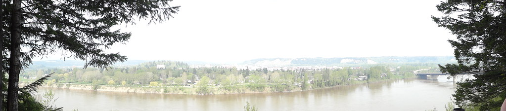 Photo: Andrew Kurjata · CC BY-NC-SA 2.0 · Noncommercial onlyWalks · Prince George
LC Gunn Park
An elevated walk above the Fraser River links LC Gunn Park with the cutbank corridor toward the Simon Fraser Bridge. Viewpoints reward a short visit, while the full return walk is…
Easy / 7 km round trip / 85 m gainRead guide →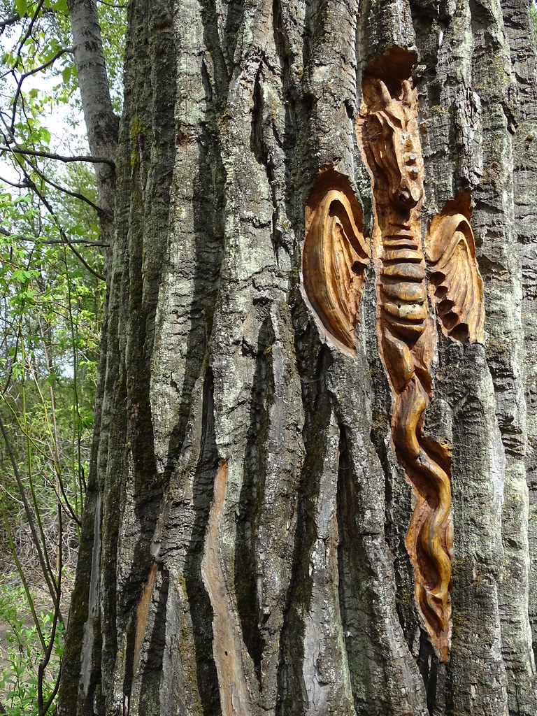 Photo: Adam Jones · CC BY 2.0Walks · Prince George
Cottonwood Island Nature Park Trail
Riverbank paths, bridges and tree-bark carvings make Cottonwood Island a varied low-level walk near the Nechako–Fraser confluence. There are several entrances and route…
2.2 km · trip basis unconfirmedRead guide →- Walks · Prince George
PG 50
An endurance walk combines city parks, river corridors and the full Cranbrook Hill Greenway into a roughly 50 km day. It is a stitched itinerary across several networks rather…
Expert / 50 km loopRead guide →