Search, filters and the interactive map need JavaScript. You can still open the guides and use the page links below, or browse the complete destination index .
A LOCAL FIELD GUIDE
Find a hike around Prince George Find a walk close to home, a waterfall, or a day in the mountains.
McBride
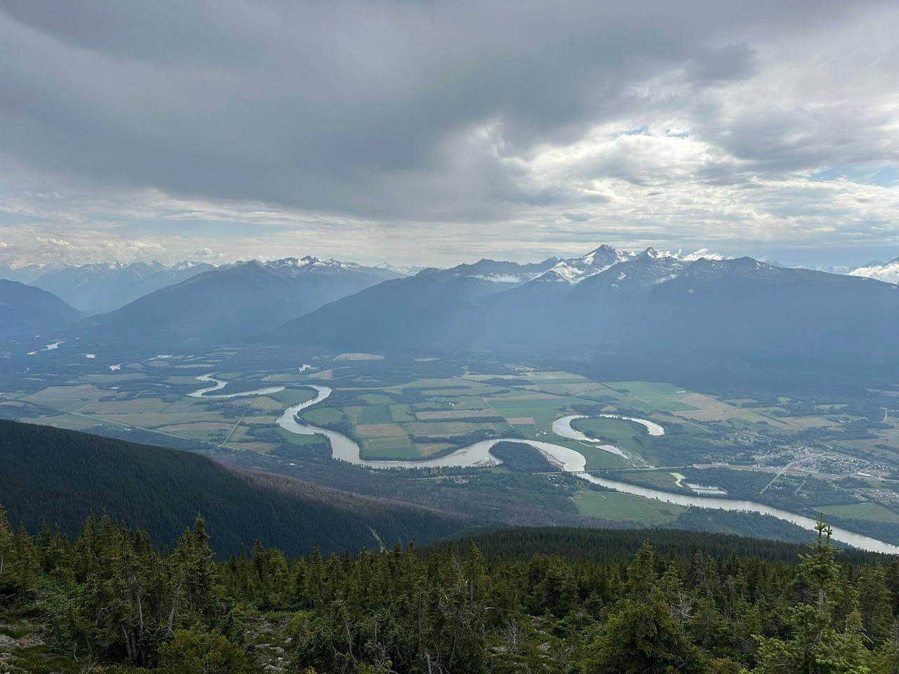
Alpine walks include McBride Peak and longer ridges toward Teare Mountain. High road access changes hike length.
4 hours Robson Valley
A short McBride outing to an abandoned Fraser River channel, with wetland birdwatching and a gazebo at the lake.
Mackenzie
★ 3.9 AllTrails A creekside forest walk north of Mackenzie ends at an unfenced waterfall. The first half is comparatively level, while the latter half climbs…
Chetwynd / Highway 29
★ 4.5 AllTrails A short undeveloped approach reaches two waterfalls beside Highway 29. Despite the small distance, the creek bed sits between drops and deserves…
1 hour Pine Pass / Fisher Creek
★ 4.4 AllTrails A steep, poorly marked mountain route climbs from a powerline road toward the former fire-lookout ridge. The name is historical: a 2025 trip…
About 3 hours Pine Pass / Fisher Creek
An alternative approach to Bickford’s alpine terrain branches from the fire-lookout route. It involves brush and uncertain marking, with…
About 5 hours Tumbler Ridge / Monkman / Peace Rockies
Walk the mostly level remains of the old Monkman Pass highway to a clearing with deteriorating cabins from a former mink ranch. Expect wet…
Tumbler Ridge / Monkman / Peace Rockies
★ 4.4 AllTrails Forest approach reaches exposed slopes above the Murray River and follows the valley rim to a turnaround bench.
Robson Valley
★ 4.6 AllTrails A riverside walk near McBride to a small cascade, with old forest and opportunities to observe migrating salmon in August.
Tumbler Ridge / Monkman / Peace Rockies
★ 4.7 AllTrails Creekside forest approach finishes with a viewpoint loop above the canyon.
Trail map Topographic Satellite · 2016 The interactive map needs JavaScript. Use the written directions and linked publisher maps, or browse the trail guides .