Mapped named trail sections. Shows the named source trail. The full published outing, return journey and current on-the-ground alignment are not independently established by this line. Line source (opens original source).
Drive about 35 km north from Tumbler Ridge on Highway 52 toward Dawson Creek. The signed parking area is on the right, while the walking route starts across the highway. Use the trailhead map and cross carefully. This is roughly 5 km beyond the Murray Canyon Overlook parking when travelling from Tumbler Ridge.
Map position: 55.33395, -120.90606 · recreation project location. Source-published recreation project point; not verified parking or trailhead.
On the trail
Follow the forest path and boardwalk crossings to the signed loop fork around 2.5 km.
Take the left branch toward the falls. Use the staircase viewpoint instead of the projecting ground above the drop.
On returning from the final viewpoint, keep left to complete the short terminal loop and rejoin the approach.
Full route notes
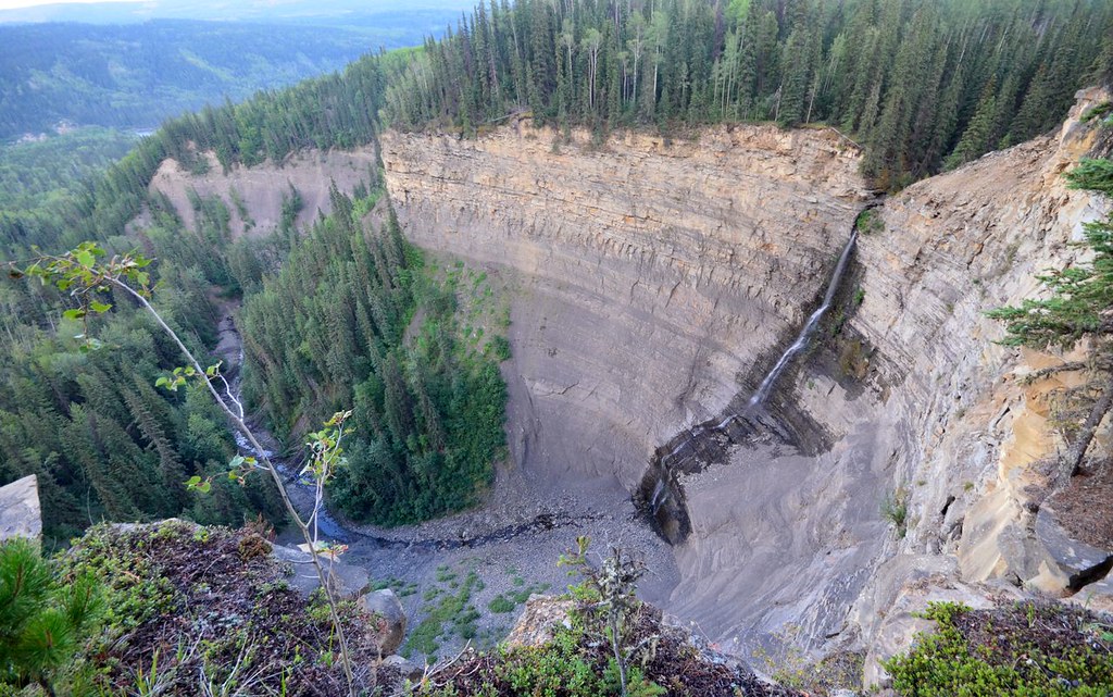
Walk through the replanted cutblock and into the spruce-aspen forest, using boardwalks over the small wet crossings. At the signed loop junction about 2.5 km from the highway, take the left branch toward the waterfall viewpoints. A side path visits a smaller upstream fall, while the main trail continues near a steep drop toward the principal falls. Use the staircase to the safer viewing area rather than approaching the projecting tongue of land above the waterfall. Continue to the final escarpment viewpoint for the Murray River outlook, then keep left on the return to close the short loop and rejoin the approach trail. The slopes below the viewpoints have animal paths, not an equivalent maintained walking route.
The way back
Return along the main forest path to the highway parking. The published outing is about 6 km including the small loop; the steward recommends allowing three hours.
Conditions & seasons
Wet stairs and mud make the final viewing section slippery, and the unguarded escarpment remains a concern in snow or ice. The standard forest approach does not remove the need to supervise children and pets closely near the falls.
These are dated research notes. Open the trip planner for current available weather and advisory feeds; no alert found does not establish that a trail or road is open.
On-route camping permission has not been established for this outing. Check the relevant land manager before planning an overnight stay; a mapped lake, cabin or previous tent location does not confirm permission.
Photos of Tepee Falls
A photograph with confirmed reuse permission has not yet been added to this guide.
Original photo galleries
These galleries stay on their photographers’ original websites.
Descriptions are written for this guide from the linked evidence. Source review dates, published reports and field observations can differ. Photographs and route lines retain their own attribution and reuse terms.