Two Rivers, Two Colours: Watching the Fraser and Nechako Meet
At Prince George’s river confluence, a changing line in the water can reveal sediment, seasons and the slow work of two rivers mixing.
A line that can move
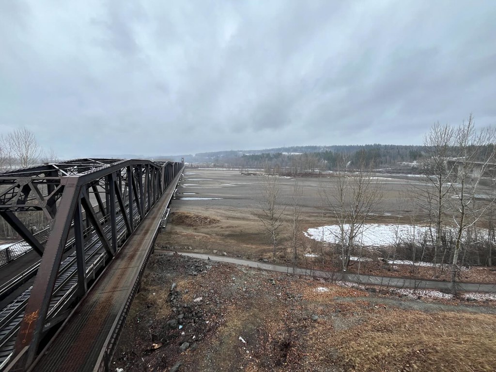
On some days, the meeting of the Fraser and Nechako is easy to read in the water. One current looks different from the other, and a shifting boundary makes the confluence visible. On other days, the difference is subtle. There is no permanent two-colour stripe waiting to be photographed.
The Nechako reaches Prince George after crossing a broad interior watershed. Joining the Fraser brings together water that has travelled through different terrain and experienced different weather. The meeting is fixed on the map, but what arrives there is continually changing.
Sources: 1
What gives a river its colour?
A brown or grey river often carries fine particles held in suspension. Clay and silt are small enough for moving water to keep them aloft, and those particles scatter light. Turbidity is an optical measure of how cloudy the water is, rather than a direct count of how much sediment it carries.
Rain can wash material from the surrounding land into channels, while higher flows can mobilize material already in the river system. The result can be a colour change without any new substance being added by a pipe or factory. Conversely, clear-looking water is not proof of good water quality. Appearance is a clue to investigate, not a complete test.
Sources: 2
Two watersheds do not respond identically
The Nechako’s flow has been altered by the reservoir and water-management system in its upper watershed. Tributaries downstream add their own water and sediment before the river reaches Prince George.
Upstream of Vanderhoof, UNBC researchers found that the sources of sediment changed through the field season. Channel-bank material became important at particular flows. The water carries a changing mixture of contributions from across its basin. Rain, releases and erosion need not affect the two rivers in the same way or at the same time.
The water is mixing
A visible boundary can tempt people to say that two rivers do not mix. They do. Mixing takes place over distance and time, rather than instantly where the channels meet. Turbulence transfers water across the interface while the current carries the combined flow downstream.
Channel shape, flow and the arrangement of the incoming water affect the process. The colour boundary can remain visible while mixing is already under way around it. There is no wall between the currents.
Sources: 4
The surface adds another layer
Light complicates the view. Water, suspended particles and dissolved material absorb or scatter different wavelengths. Reflections of sky, trees and banks add colour at the surface.
Look across a river from one angle, then from another safe position along the path. Reflection may dominate one view and reveal less of what is happening within the water. A colour photograph captures that particular combination of light and water.
Sources: 5
One river continues
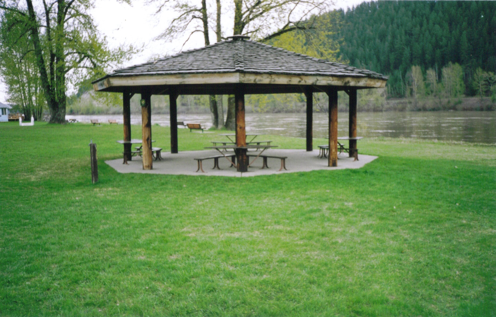
Cottonwood Island provides a city outing along the Nechako. Stay on open established paths and well back from unstable banks. A visit there and another beside the Fraser give you two perspectives on water about to meet.
From the confluence, the combined river continues as the Fraser. The Nechako disappears as a separate line on the map, but its water continues downstream. A visible seam, when conditions allow one to form, gives you a brief glimpse of that transition.
Explore the places in this story
Cottonwood Island Nature Park Trail
A city riverfront walk; viewing opportunities vary with route, water level and vegetation.
Nechako Riverside Park
An upstream Nechako walk, not the confluence itself.
Sources and further reading
- The Nechako Basin (opens original source)University of Northern British Columbia · Checked
- Turbidity and Water (opens original source)US Geological Survey · Checked
- Investigating landscape disturbances and sediment fluxes: Results (opens original source)University of Northern British Columbia · Checked
- Prediction of Traveltime and Longitudinal Dispersion in Rivers and Streams (opens original source)US Geological Survey · Checked
- Introduction to Aquatic Remote Sensing (opens original source)US Geological Survey · Checked