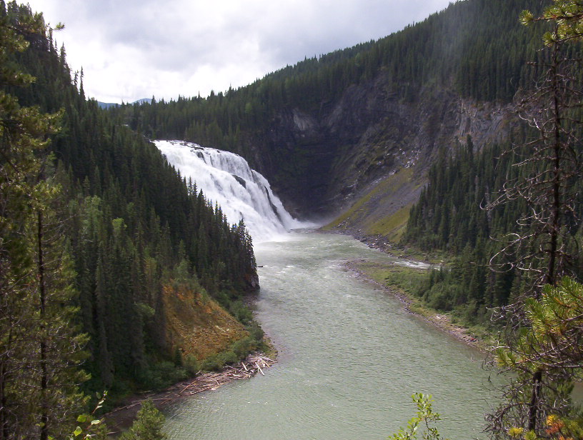
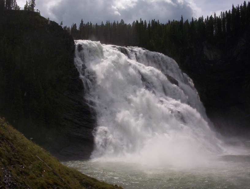
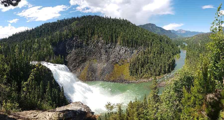
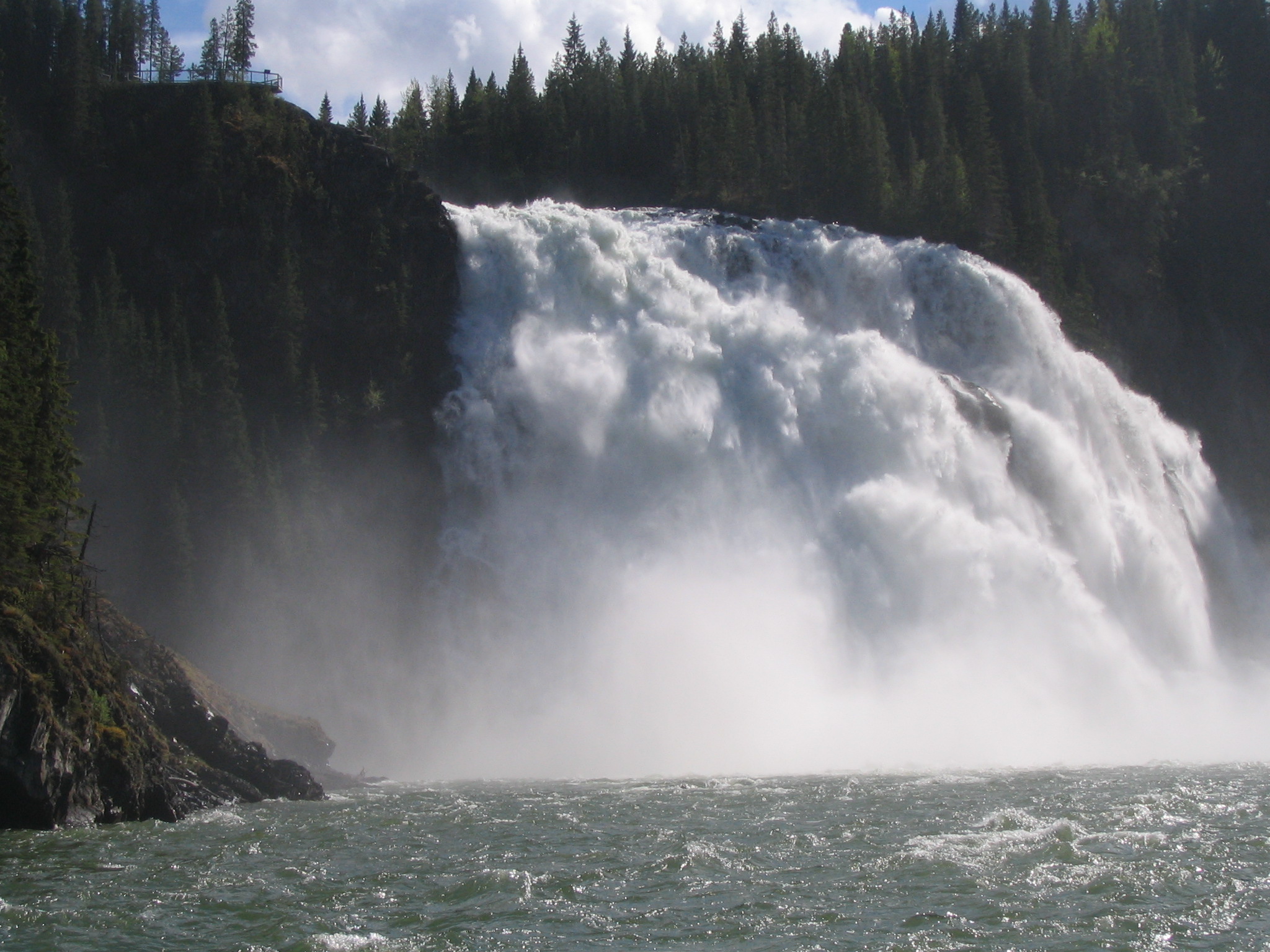
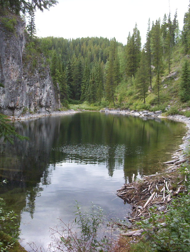
From the waterfall trailhead, the downstream option is roughly 2 km each way. The longer viewpoint routes include steep ground, so allow for the climb back rather than treating this as the short platform walk. Follow the signed branch and return by the same approach; the reviewed text does not establish a safe river-edge shortcut.
Sources reviewed . This is a research date, not a trail inspection.
Check access before you leave
Kinuseo platform closed for 2026
BC Parks confirms that structural problems keep the falls viewing platform closed for the 2026 season; the notice was updated February 3, 2026. The route to upper viewpoints remains open in that notice, but is challenging and has steep drop-offs. This does not close the whole falls area.
A reusable trail line has not yet been verified for this outing. Any location pin shows the published location described above; it does not draw the hike or establish a navigable approach.
Getting there & parking
From Tumbler Ridge, follow Highway 52 south for about 14 km and turn right onto Kinuseo Falls Road. Continue roughly 51 km on the signed gravel approach, allowing extra time for washboard, potholes and industrial traffic. Inside Monkman Park, take the signed one-kilometre spur to the falls parking, where picnic tables and outhouses are described. Check current forestry-road conditions and any radio requirements before leaving town.
Driving access has not been established for this selected route option; check its original sources.
Map position: 54.78260, -121.18893 · destination reference point. WNMS links to the named parking lot on Kinuseo Falls Access Road. Position uses the place coordinates, not the map viewport centre. This point is not a confirmed starting point for the selected route option.
On the trail
From the waterfall trailhead, the downstream option is roughly 2 km each way. The longer viewpoint routes include steep ground, so allow for the climb back rather than treating this as the short platform walk. Follow the signed branch and return by the same approach; the reviewed text does not establish a safe river-edge shortcut.
Conditions & seasons
Season-specific access has not been established in this guide. Read the dated notices and original land-manager information before choosing a departure date.
These are dated research notes. Open the trip planner for current available weather and advisory feeds; no alert found does not establish that a trail or road is open.
On-route camping permission has not been established for this outing. Check the relevant land manager before planning an overnight stay; a mapped lake, cabin or previous tent location does not confirm permission.
Descriptions are written for this guide from the linked evidence. Source review dates, published reports and field observations can differ. Photographs and route lines retain their own attribution and reuse terms.