Not establishedCumulative ascent for this outing has not been established.
Walking time
Not published
Difficulty
Not rated
Map & elevation
Opening the map…
Partial elevation profile
Mapped portion · walking direction unconfirmed · 1.59 km
This chart covers only part of the route. It does not establish the full hike or a return journey.
Coverage and elevation sources
1.59 km along source section 1 of 1, in its mapped direction. Approximate 90 m terrain model along this mapped section. Separate sections are not joined. This chart does not measure total trail ascent or establish current access; use the guide’s published outing measurements.
Mapped named trail. Shows the named springs section. The longer approach from summer parking or the winter gate is not included. Line source (opens original source).
Getting there & parking
The available sources do not yet establish a complete driving approach for this selected outing. Use the original route sources below before planning the journey.
Driving access has not been established for this selected route option; check its original sources.
Map position: 54.48211, -122.67446 · destination reference point. Embedded trip-map feature 'Livingston Springs Track 12/15/23 12:07:53 PM': first recorded coordinate [-122.674462, 54.482114].
Point extracted from the original public trip map. A track start is evidence of where recording began, not certification of parking, legal access, road suitability or the complete route. This point is not a confirmed starting point for the selected route option.
On the trail
The source places the springs 3.5 km from the trailhead. This option excludes the walk from either parking location.
Conditions & seasons
Season-specific access has not been established in this guide. Read the dated notices and original land-manager information before choosing a departure date.
Winter condition report
The source describes favourable trail condition in January 2026. That winter observation should not be reused as a current year-round condition.
These are dated research notes. Open the trip planner for current available weather and advisory feeds; no alert found does not establish that a trail or road is open.
On-route camping permission has not been established for this outing. Check the relevant land manager before planning an overnight stay; a mapped lake, cabin or previous tent location does not confirm permission.
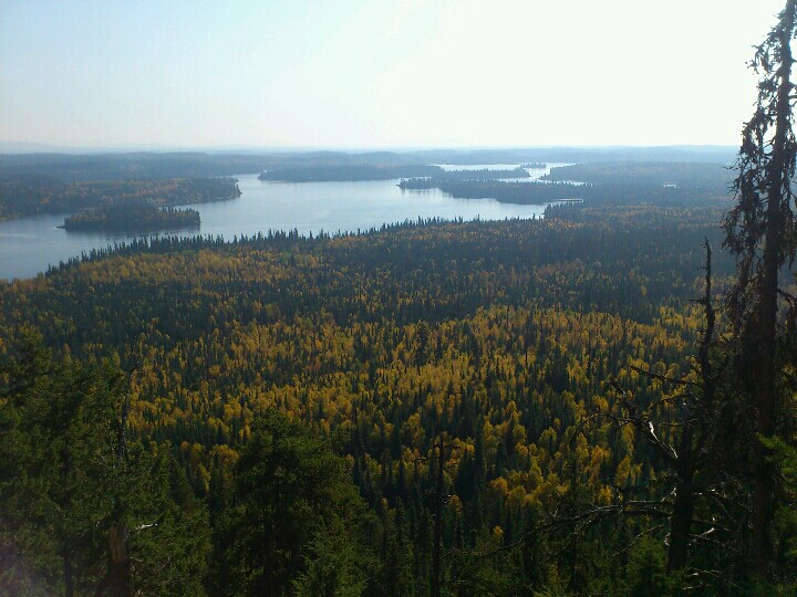
Photos of Livingston Springs — Springs trail section only
A photograph with confirmed reuse permission has not yet been added to this guide.
Original photo galleries
These galleries stay on their photographers’ original websites.
Descriptions are written for this guide from the linked evidence. Source review dates, published reports and field observations can differ. Photographs and route lines retain their own attribution and reuse terms.