Mount Murray (Pine Pass) — Mount Murray first summit
At the end of cleared ascent continue up ridge to first summit; 1722 m is altitude, not gain.
Sources reviewed . This is a research date, not a trail inspection.
A complete driving approach and parking location have not been established. Read the specific gaps below before choosing this outing.
Read the access notes →The locations GPX contains sourced points with their recorded roles. It contains no trail track or connecting route.
- Distance
- Not publishedTrip basis unconfirmed
- Elevation gain
- Not establishedCumulative ascent for this outing has not been established.
- Walking time
- Not published
- Difficulty
- Not rated
Map & elevation
Elevation profile
A full-route elevation profile is not available yet.
A reusable trail line has not yet been verified for this outing. Any location pin shows the published location described above; it does not draw the hike or establish a navigable approach.
Getting there & parking
The available sources do not yet establish a complete driving approach for this selected outing. Use the original route sources below before planning the journey.
Driving access has not been established for this selected route option; check its original sources.
Map position: 55.44776, -122.72374 · destination reference point. Embedded trip-map feature 'Track (2023-08-10, 9:10:08AM)': first recorded coordinate [-122.723741, 55.447755]. Point extracted from the original public trip map. A track start is evidence of where recording began, not certification of parking, legal access, road suitability or the complete route. This point is not a confirmed starting point for the selected route option.
On the trail
At the end of cleared ascent continue up ridge to first summit; 1722 m is altitude, not gain.
Conditions & seasons
Season-specific access has not been established in this guide. Read the dated notices and original land-manager information before choosing a departure date.
These are dated research notes. Open the trip planner for current available weather and advisory feeds; no alert found does not establish that a trail or road is open.
Camping & overnight plans
On-route camping permission has not been established for this outing. Check the relevant land manager before planning an overnight stay; a mapped lake, cabin or previous tent location does not confirm permission.
Photos of Mount Murray (Pine Pass) — Mount Murray first summit
A photograph with confirmed reuse permission has not yet been added to this guide.
Original photo galleries
These galleries stay on their photographers’ original websites.
- Mt Murray - Pine Pass August 8, 2021 (opens original source) · Caledonia Ramblers
- Mount Murray July 17, 2016 (opens original source) · Caledonia Ramblers
- Murray Mt in the Pine Pass in Northern BC — photographs and trip report (opens original source) · Hiking Prince George
- Mount Murray Trail — community photographs (opens original source) · AllTrails
Take this guide with you
Choose a trip pack or an available individual sheet for your map case.
Sources, dates & research notes
Descriptions are written for this guide from the linked evidence. Source review dates, published reports and field observations can differ. Photographs and route lines retain their own attribution and reuse terms.
- https://caledoniaramblers.ca/trails/mount-murray-pine-pass (opens original source)
- https://hiking.princegeorge.tech/murray-mt-in-the-pine-pass-in-northern-bc/ (opens original source)
Details still being researched
- No on-route/designated camping permission verified.
Nearby and related guides
- Hikes · Pine Pass, Chetwynd & Peace
Murray Range
A very steep route near Azouzetta Lake climbs an avalanche berm and gully to an open ridge. It is a different access and objective from the better-known Mount Murray route farther…
4.8 km round trip / 870 m gainRead guide → - Viewpoints · Pine Pass, Chetwynd & Peace
Solitude Mountain
A strenuous extension above the Heart Lake viewpoints reaches the Solitude Mountain area. The lower path is easier to identify than the upper route, where brush and indistinct…
Hard / 10.07 km · trip basis unconfirmed / Not established gainRead guide → - Viewpoints · Pine Pass, Chetwynd & Peace
Mountain Creek Canyon Overlook
A steep forest climb from Heart Lake reaches two viewpoints over Mountain Creek. This is the shorter overlook outing; continuing toward Solitude Mountain is a separate, much less…
3.8 km round trip / 470 m gainRead guide → - Camping · Pine Pass, Chetwynd & Peace
Heart Lake campground
A user-maintained lakeside campground in Pine Le Moray Park, useful as a base for a quiet lake stay or a separately planned steep mountain outing. Its services differ from a fully…
Camping destination · access & overnight informationRead guide → - Hikes · Pine Pass, Chetwynd & Peace
Le Moray Lakes / Donkey Trail
A remote restored horse-trail corridor reaches upper meadows and the Lemoray lakes. Fallen trees, devil’s club and limited communication make this a backcountry route requiring…
HardRead guide → 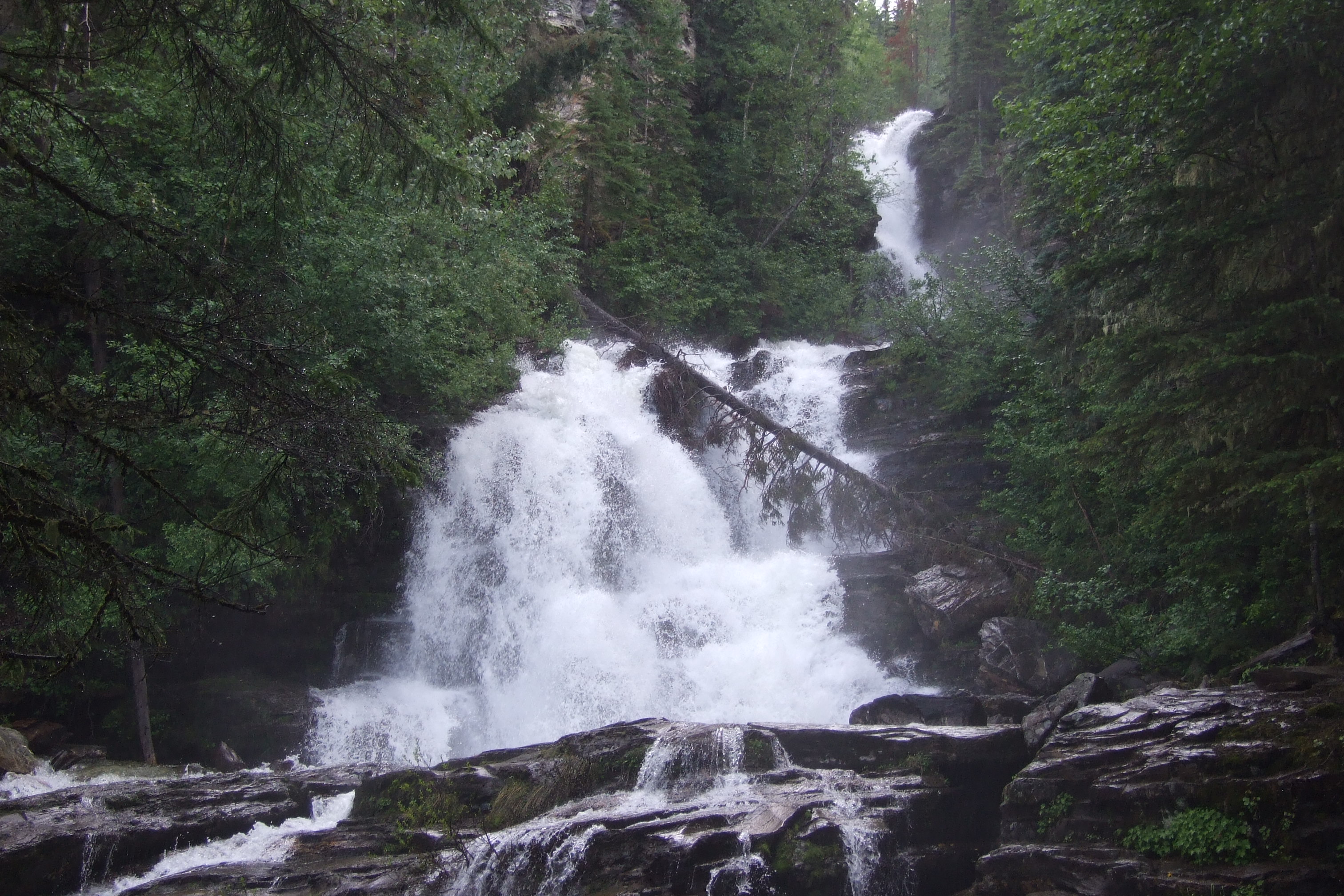 Photo: McDoggo · CC BY 4.0Waterfalls · Pine Pass, Chetwynd & Peace
Bijoux Falls
A short roadside stop in Pine Pass provides a fenced view of a cascading waterfall. It is a day-use waterfall visit rather than a developed hiking circuit.
Read the access and route notesRead guide →