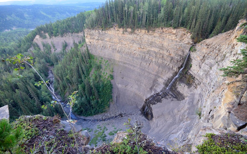
Follow the common old exploration-road approach to the saddle north of the gas well, then take the short southwestern ridge along the animal path. The route leaves the last trees for open alpine with views over the former Bullmoose Mine. Return to the same saddle; this short branch does not reach the main Mount Spieker summit east of the saddle.
Sources reviewed . This is a research date, not a trail inspection.
A reusable trail line has not yet been verified for this outing. Any location pin shows the published location described above; it does not draw the hike or establish a navigable approach.
Getting there & parking
Drive north from Tumbler Ridge on Highway 29 for approximately 8.8 km and turn onto Wolverine Forest Service Road. At road kilometre 12.2, turn right onto Perry Creek Road and follow it past the mine. Take the right branch at kilometre 10.2, left at kilometre 12 and right again at kilometre 13.7, continuing to the large gas-well clearing at the end. This is an industrial-road approach with mine and possible logging traffic; follow current signs, radio requirements and any access restrictions around the well.
Driving access has not been established for this selected route option; check its original sources.
Map position: 55.11782, -121.40439 · destination reference point. Source-published recreation project point; not verified parking or trailhead. This point is not a confirmed starting point for the selected route option.
On the trail
Follow the common old exploration-road approach to the saddle north of the gas well, then take the short southwestern ridge along the animal path. The route leaves the last trees for open alpine with views over the former Bullmoose Mine. Return to the same saddle; this short branch does not reach the main Mount Spieker summit east of the saddle.
Conditions & seasons
Season-specific access has not been established in this guide. Read the dated notices and original land-manager information before choosing a departure date.
These are dated research notes. Open the trip planner for current available weather and advisory feeds; no alert found does not establish that a trail or road is open.
On-route camping permission has not been established for this outing. Check the relevant land manager before planning an overnight stay; a mapped lake, cabin or previous tent location does not confirm permission.
Photos of Mount Spieker — Southwest ridge
A photograph with confirmed reuse permission has not yet been added to this guide.
Original photo galleries
These galleries stay on their photographers’ original websites.
Descriptions are written for this guide from the linked evidence. Source review dates, published reports and field observations can differ. Photographs and route lines retain their own attribution and reuse terms.