TR Trail — Golf course to ball diamonds
Includes Lost Haven Cabin area.
Sources reviewed . This is a research date, not a trail inspection.
A complete driving approach and parking location have not been established. Read the specific gaps below before choosing this outing.
Read the access notes →The locations GPX contains sourced points with their recorded roles. It contains no trail track or connecting route.
- Distance
- 10 kmOne way only
- Elevation gain
- Not establishedCumulative ascent for this outing has not been established.
- Walking time
- Not published
- Difficulty
- Not rated
Map & elevation
Elevation profile
A full-route elevation profile is not available yet.
A reusable trail line has not yet been verified for this outing. Any location pin shows the published location described above; it does not draw the hike or establish a navigable approach.
Getting there & parking
The available sources do not yet establish a complete driving approach for this selected outing. Use the original route sources below before planning the journey.
Driving access has not been established for this selected route option; check its original sources.
Map position: 55.09586, -120.94313 · destination reference point. WNMS Directions to Trailhead anchor publishes place coordinates !3d55.095855!4d-120.943133 (also labelled55°05′45.1″N120°56′35.3″W). These are the marked place coordinates, not the nearby Google viewport centre. This is one southern access point for a multi-access28 km route. This point is not a confirmed starting point for the selected route option.
On the trail
Includes Lost Haven Cabin area.
Conditions & seasons
Season-specific access has not been established in this guide. Read the dated notices and original land-manager information before choosing a departure date.
These are dated research notes. Open the trip planner for current available weather and advisory feeds; no alert found does not establish that a trail or road is open.
Camping & overnight plans
On-route camping permission has not been established for this outing. Check the relevant land manager before planning an overnight stay; a mapped lake, cabin or previous tent location does not confirm permission.
Photos of TR Trail — Golf course to ball diamonds
A photograph with confirmed reuse permission has not yet been added to this guide.
Original photo galleries
These galleries stay on their photographers’ original websites.
- The TR Trail — photographs (opens original source) · Wolverine Nordic & Mountain Society
Take this guide with you
Choose a trip pack or an available individual sheet for your map case.
Sources, dates & research notes
Descriptions are written for this guide from the linked evidence. Source review dates, published reports and field observations can differ. Photographs and route lines retain their own attribution and reuse terms.
Details still being researched
- Total route elevation gain not verified; no substitution from summit altitude or waterfall height.
- No site-specific dog rule verified in reviewed sources.
- No on-route/designated camping permission verified.
Nearby and related guides
- Hikes · Tumbler Ridge & Monkman
Flatbed Cabin Pools and Dinosaur Tracks
Follow the TR Trail from Flatbed Falls toward creekside rock exposures and dinosaur tracks near Cabin Pool. The creek spur and same-path return are distinct from the other…
3 km round tripRead guide → - Waterfalls · Tumbler Ridge & Monkman
Quality Falls
Forest walk to upper Quality Creek waterfall, with a steeper final descent.
Easy / 2.5 km round trip / 75 m gainRead guide → 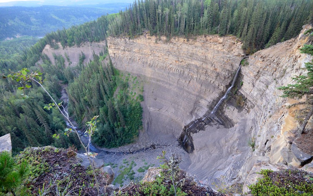 Photo: Miles Green · CC BY 2.0Waterfalls · Tumbler Ridge & Monkman
Bergeron Falls
Upper views and a longer circuit explore different parts of the canyon. Water crossings and cliff exposure make the circuit more demanding.
12 km loop / 450 m gainRead guide →- Waterfalls · Tumbler Ridge & Monkman
Nesbitt’s Knee Falls
Ridge walk reaches a viewing bench, with separate upper-creek and much steeper base options.
Moderate / 3 km round tripRead guide → - Waterfalls · Tumbler Ridge & Monkman
Babcock Falls
Boardwalks cross wet ground on the approach to a waterfall viewpoint. The descent below the viewpoint is a materially steeper variant.
Moderate / 2.2 km round trip / Approx. 50 m gain · terrain estimateRead guide → - Hikes · Tumbler Ridge & Monkman
Mount Kostuik Hidden Valley
An old exploration road climbs to a subalpine meadow before a scramble toward Mount Kostuik’s rocky summit. The direct return, Hidden Valley loop and Windy Ridge traverse are…
Read the access and route notesRead guide →