Pine Pass
Mountain Creek Canyon Overlook
A steep forest climb from Heart Lake reaches two viewpoints over Mountain Creek. This is the shorter overlook outing; continuing toward Solitude…
About 3 hr 7 min from PG3.8 km · round trip470 m gain
A LOCAL FIELD GUIDE
Find a walk close to home, a waterfall, or a day in the mountains.
Pine Pass
A steep forest climb from Heart Lake reaches two viewpoints over Mountain Creek. This is the shorter overlook outing; continuing toward Solitude…
Pine Pass
A remote restored horse-trail corridor reaches upper meadows and the Lemoray lakes. Fallen trees, devil’s club and limited communication make…
Robson Valley
Cross Avalanche Pass and descend to Caribou Lake on a demanding backcountry outing near McBride. The return climbs out of the lake basin before…
McBride
Cabin approach offers further alpine day hikes; reservation arrangements must be checked with the operator.
Robson Valley
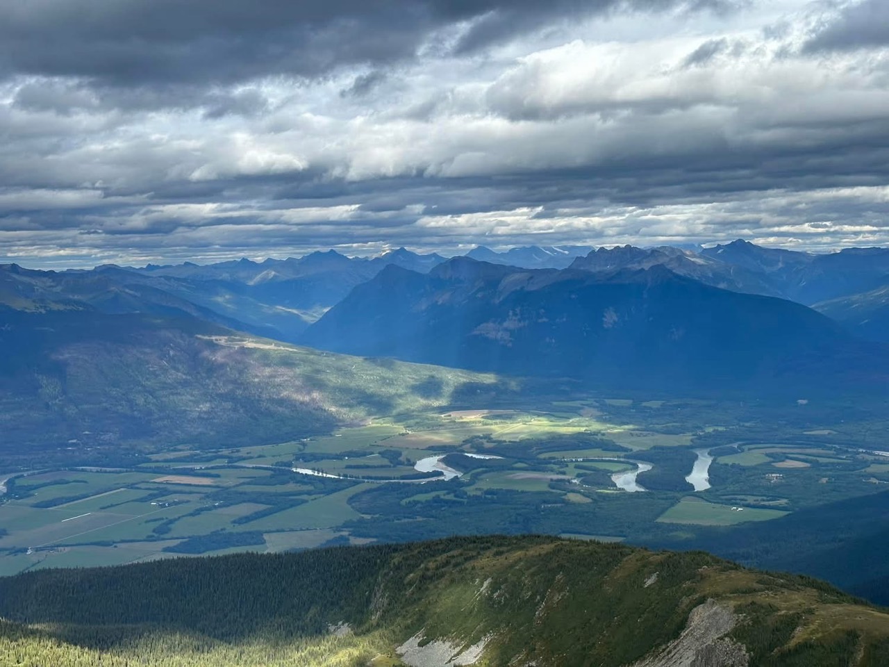
An alpine approach above McBride that passes a snowmobile cabin before continuing to a broad summit with Robson Valley views.
Tumbler Ridge / Monkman / Peace Rockies
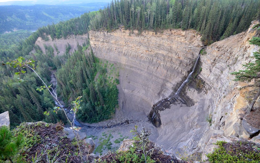
Upper views and a longer circuit explore different parts of the canyon. Water crossings and cliff exposure make the circuit more demanding.
Tumbler Ridge / Monkman / Peace Rockies
Forest walk to upper Quality Creek waterfall, with a steeper final descent.
Robson Valley
A lower-mountain loop above McBride, using shared trails with viewpoints across town and the Cariboo Mountains.
Robson Valley
A multiuse trail network on the lower slopes of McBride Peak, with easy viewpoints and steeper hiking and mountain-bike routes.
McBride
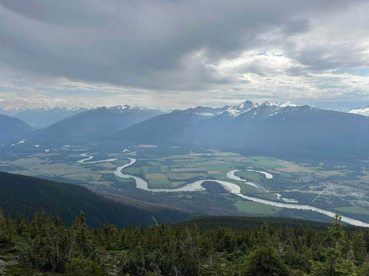
Alpine walks include McBride Peak and longer ridges toward Teare Mountain. High road access changes hike length.