Mount Trudeau meadows — Mount Trudeau summit
Reach the meadow by the steep main forest trail, then recognize that the summit continuation is a separate long mountain undertaking over scree and talus. The club lists roughly 20 km for the summit option, while the short meadow outing is about 6.4 km return. The reviewed sources do not establish a complete technical summit line, so the meadow directions and metrics are insufficient for a summit plan.
Sources reviewed . This is a research date, not a trail inspection.
The locations GPX contains sourced points with their recorded roles. It contains no trail track or connecting route.
- Distance
- 20 kmTrip basis unconfirmed
- Elevation gain
- Not establishedA summit-outing ascent total has not been established.
- Walking time
- About 12 hoursas published by the club
- Difficulty
- Hard
Map & elevation
Elevation profile
A full-route elevation profile is not available yet.
A reusable trail line has not yet been verified for this outing. Any location pin shows the published location described above; it does not draw the hike or establish a navigable approach.
Getting there & parking
Drive south from Valemount on Highway 5 for approximately 3.5 km, then take the right-hand logging-road approach identified by the local guide’s access map. The forest-road drive is roughly 16 km to the hiking start and usually requires a high-clearance four-wheel-drive vehicle. Logging may be active, so obey signs and any radio requirements. The guide notes that the trailhead sign may read only “Trail” after part of its lettering was removed; use the mapped road approach rather than searching for a complete mountain-name sign.
Driving access has not been established for this selected route option; check its original sources.
Map position: 52.83392, -119.38594 · destination reference point. source-published; not field-verified This point is not a confirmed starting point for the selected route option.
On the trail
Reach the meadow by the steep main forest trail, then recognize that the summit continuation is a separate long mountain undertaking over scree and talus. The club lists roughly 20 km for the summit option, while the short meadow outing is about 6.4 km return. The reviewed sources do not establish a complete technical summit line, so the meadow directions and metrics are insufficient for a summit plan.
Conditions & seasons
Season-specific access has not been established in this guide. Read the dated notices and original land-manager information before choosing a departure date.
These are dated research notes. Open the trip planner for current available weather and advisory feeds; no alert found does not establish that a trail or road is open.
Camping & overnight plans
On-route camping permission has not been established for this outing. Check the relevant land manager before planning an overnight stay; a mapped lake, cabin or previous tent location does not confirm permission.
Photos of Mount Trudeau meadows — Mount Trudeau summit
A photograph with confirmed reuse permission has not yet been added to this guide.
Surrounding area and context
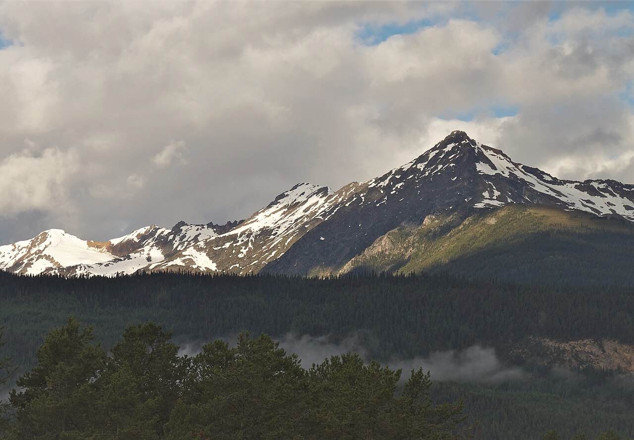
These photographs provide context; they do not establish the appearance of this selected route or facility.
Original photo galleries
These galleries stay on their photographers’ original websites.
Take this guide with you
Choose a trip pack or an available individual sheet for your map case.
Sources, dates & research notes
Descriptions are written for this guide from the linked evidence. Source review dates, published reports and field observations can differ. Photographs and route lines retain their own attribution and reuse terms.
Nearby and related guides
 Photo: Soubhik Chakrabarti, courtesy icytales.com · CC BY 2.0Walks · Valemount & Mount Robson
George Hicks Park
Short marsh path beside Swift Creek salmon viewpoint.
Easy / 0.6 km round tripRead guide →- Walks · Valemount & Mount Robson
Big Foot Trail Loop
Village circuit with paved connections and interpretive stops.
Easy / 3.64 km loopRead guide → - Viewpoints · Valemount & Mount Robson
Swift Creek Lookout
Creekside first kilometre then steep climb to viewpoint.
Moderate / 3.6 km round trip / 37 m gainRead guide → - Hikes · Valemount & Mount Robson
Swift Creek Loop
Follow trail6 markers through bike-trail intersections and suspension-bridge circuit.
Moderate / 8.5 km loop / 150 m gainRead guide → - Hikes · Valemount & Mount Robson
Mount Terry Fox
Original ridge route reaches radio tower then branches toward summit and monument; do not combine old and new approach metrics.
Expert / 18 km round trip / 1,740 m gainRead guide → - Waterfalls · Valemount & Mount Robson
Zen Garden via access trails
Approach paths lead to boardwalks and small stream cascades.
Moderate / 4 km round trip / 120 m gainRead guide →