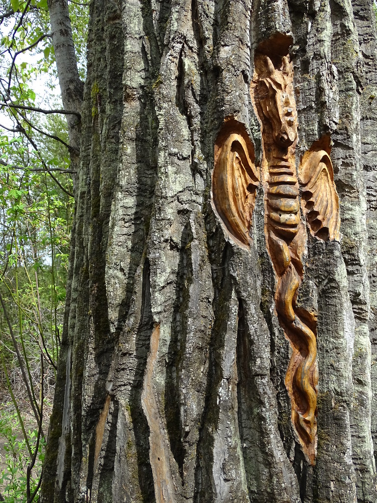
A dragon carving in a cottonwood tree at Cottonwood Island Park, Prince George, 24 May 2022.Adam Jones · Tree carving by Elmer Gunderson. Photo credit is separate from authorship of the artwork. · CC BY 2.0Photo details
Photographed: 2022-05-24
Original title: Tree Sculpture - Cottonwood Island Park - Prince George - BC
Elmer Gunderson helped make the park’s paths. Years later, he gave walkers another reason to stop along them: faces, creatures and small surprises carved into the cottonwoods.
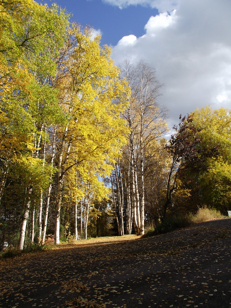
Autumn at Ginter’s Meadow, 7 October 2011. Leaf colour and timing vary from year to year.Andrew Kurjata · CC BY-NC-SA 2.0 · Noncommercial onlyPhoto details
Noncommercial only
Photographed: 2011-10-07
Original title: DSCF1703
A grand house once stood above the meadow. Its remaining stonework leads into the story of Ben Ginter, a construction fortune, an unlikely brewery and the landscape Prince George inherited.
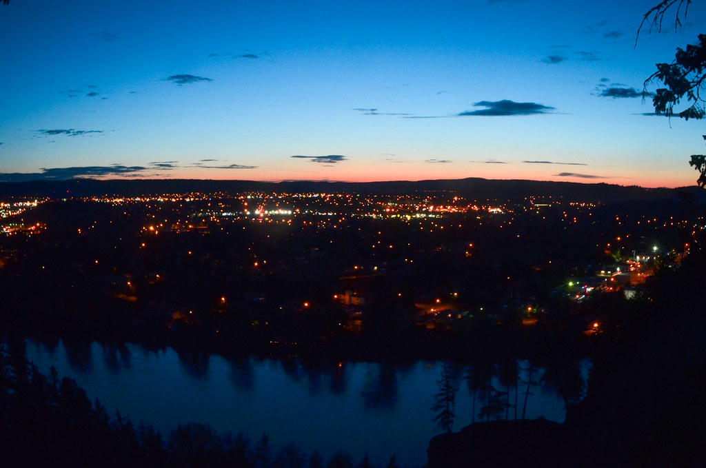
Prince George and the Fraser River from LC Gunn at dusk, photographed in July 2013.Morgan Stewart · CC BY-NC-ND 2.0 · Noncommercial onlyPhoto details
Photographed: 2013-07-03
Original title: let her go
Cross the river and the familiar city rearranges itself. A walk along the forested bluffs reveals the bowl, the bridges and the long history written into the riverbanks.
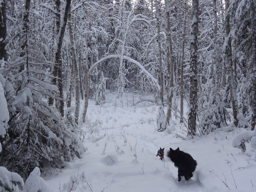
Cranbrook Hill Greenway in December 2012. A winter view of the forest corridor, not a current trail-condition report.Andrew Kurjata · CC BY-NC-SA 2.0 · Noncommercial onlyPhoto details
Noncommercial only
Photographed: 2012-12-22
Original title: DSC03507
A network of familiar trailheads hides an ambitious idea: keep enough forest connected that an ordinary walk can become a much larger journey.
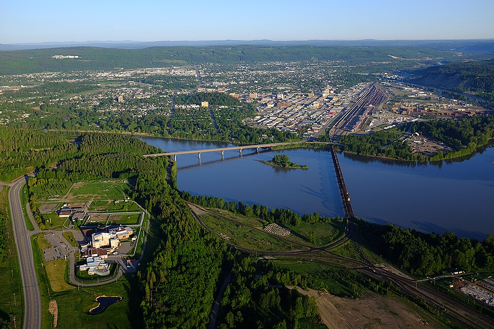
Central Prince George and the Fraser River in 2017. The modern city provides context for the earlier plan; this aerial is not a map of the original Crescents.City of Prince George · CC BY-SA 4.0Photo details
Photographed: 2017-05-27 05:27:36
Original title: PG Aerial.jpg
Follow a curved street, a park-centred plan and a few remarkable houses into the ambitions behind Prince George’s original railway townsite.
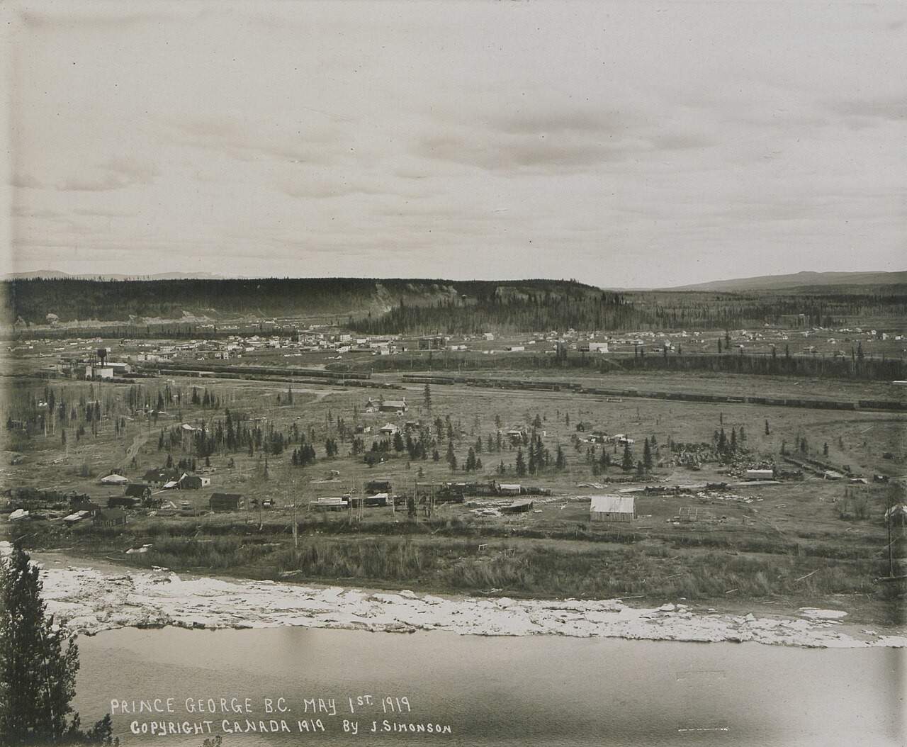
Prince George on 1 May 1919, photographed by J. Simonson. This archival panorama shows the young railway city after the earlier townsite rivalry.
J. Simonson · Public domainPhoto details
Follow the history of the Nuxalk-Carrier Grease Trail through trade, family connections and Indigenous knowledge, long before Mackenzie’s 1793 journey.
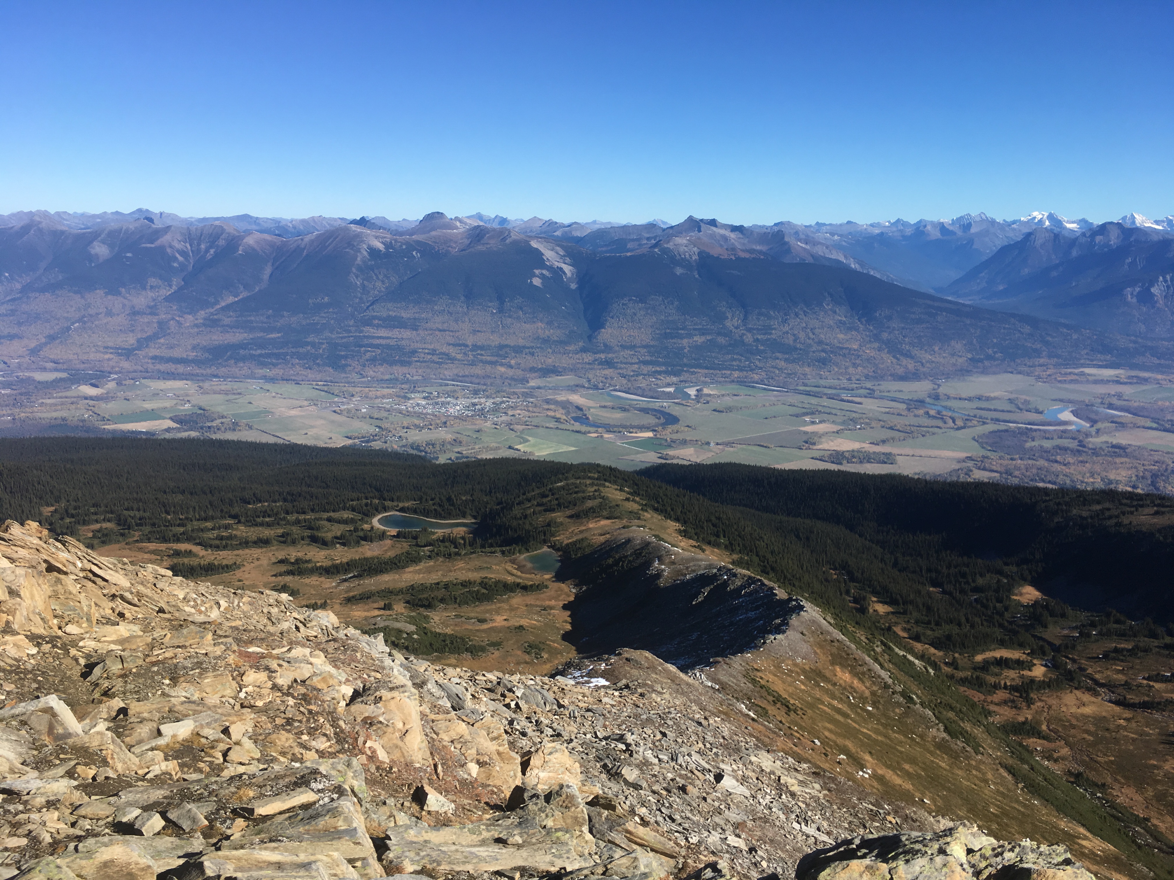
McBride and the Fraser River valley seen from Mount Lucille in October 2017. This landscape photograph provides context for the town, rather than a close view of its station.Rufus Hawthorne · CC BY-SA 4.0Photo details
Photographed: 2017-10-05
Original title: McBride, BC aerial view.jpg
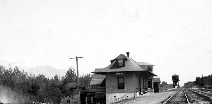
McBride’s station faces straight up Main Street. Its architecture, daily routines and surviving town plan explain how the railway shaped this mountain community.
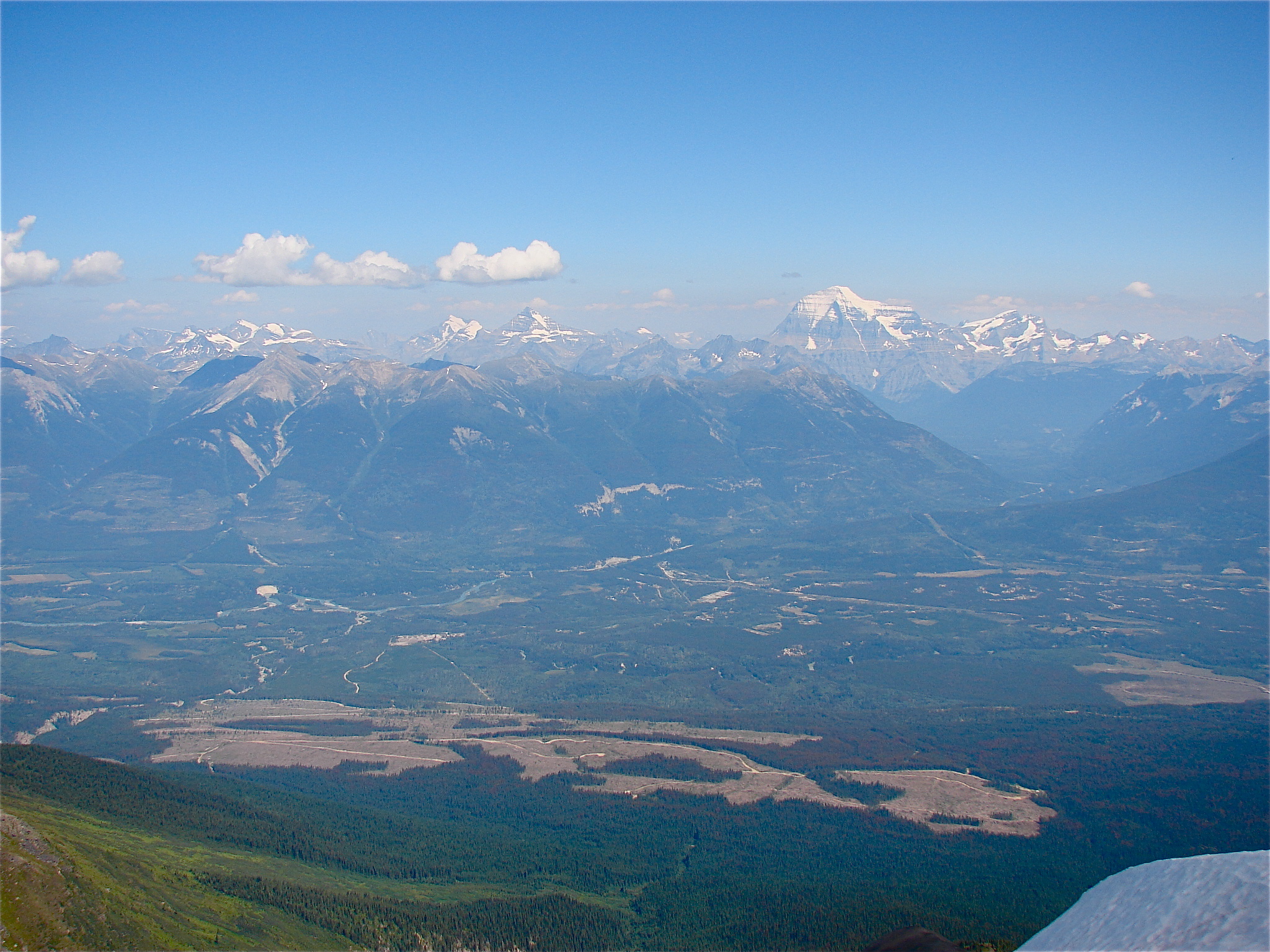
The Tête Jaune Cache area and Fraser River seen from Mica Mountain in 2010, with Mount Robson in the distance. The modern landscape does not identify the exact former townsite or sites of Simpcw displacement.Rufus Hawthorne · Public domain dedication by the photographerPhoto details
Photographed: 2010
Original title: Tete jaune Cache aerial view.JPG
Tête Jaune Cache once connected railway construction, riverboats and trade. Its quieter landscape also holds the history of Simpcw displacement and return.