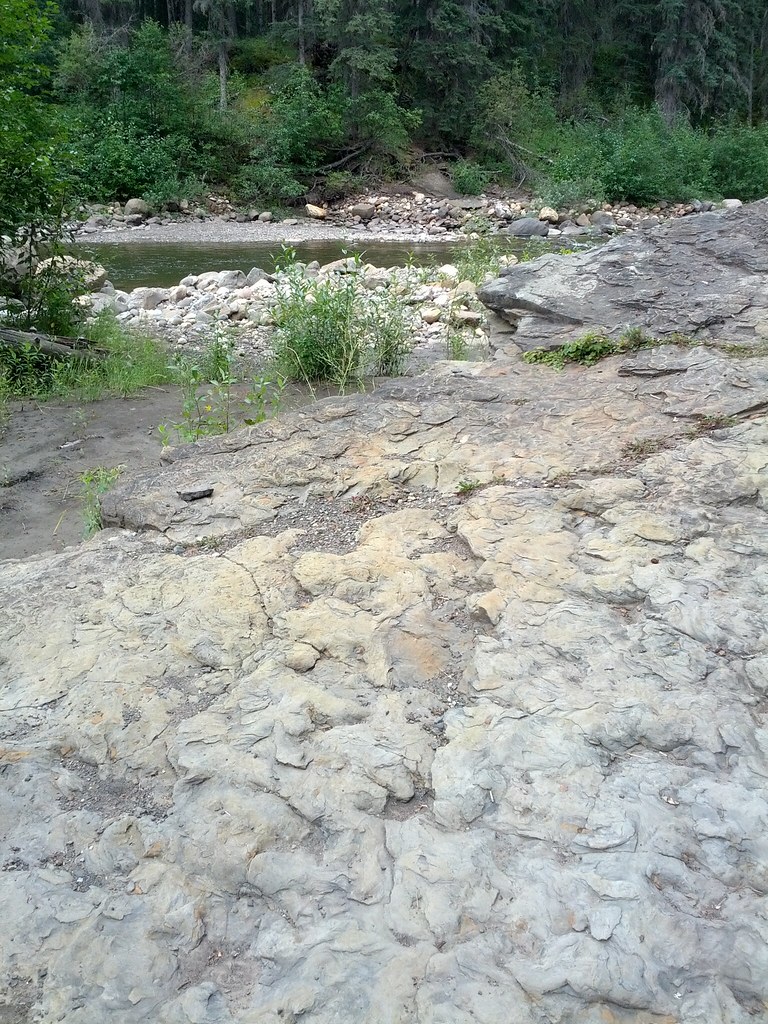
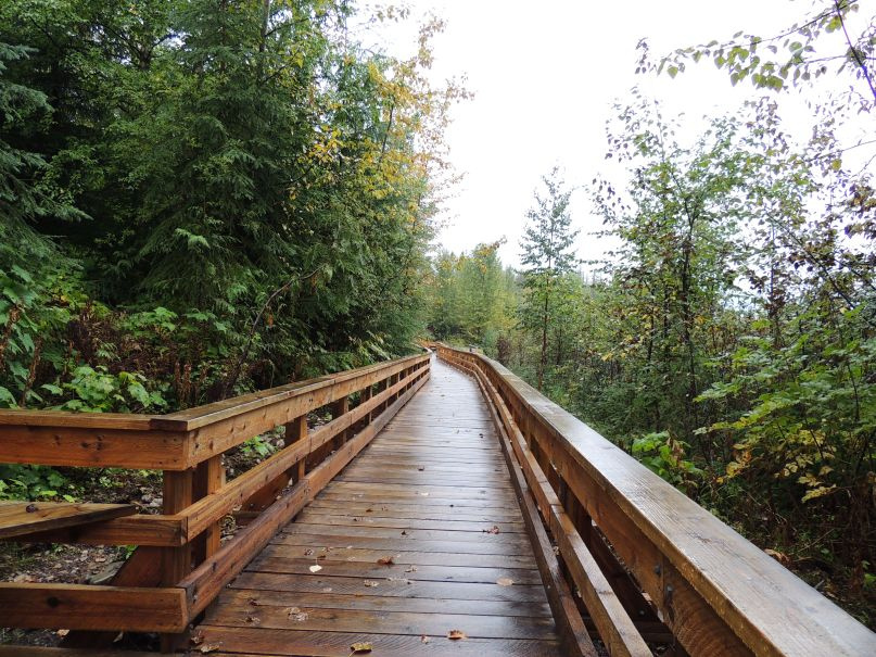
A Tumbler Ridge track-site setting, 11 August 2015. The exact site is not established by the photograph’s description.Gerode_ · CC BY-SA 2.0Photo details
Photographed: 2015-08-11
Original title: IMG_20150811_103155
A summer outing on Flatbed Creek helped turn familiar bedrock into a scientific story that a whole community could take part in.
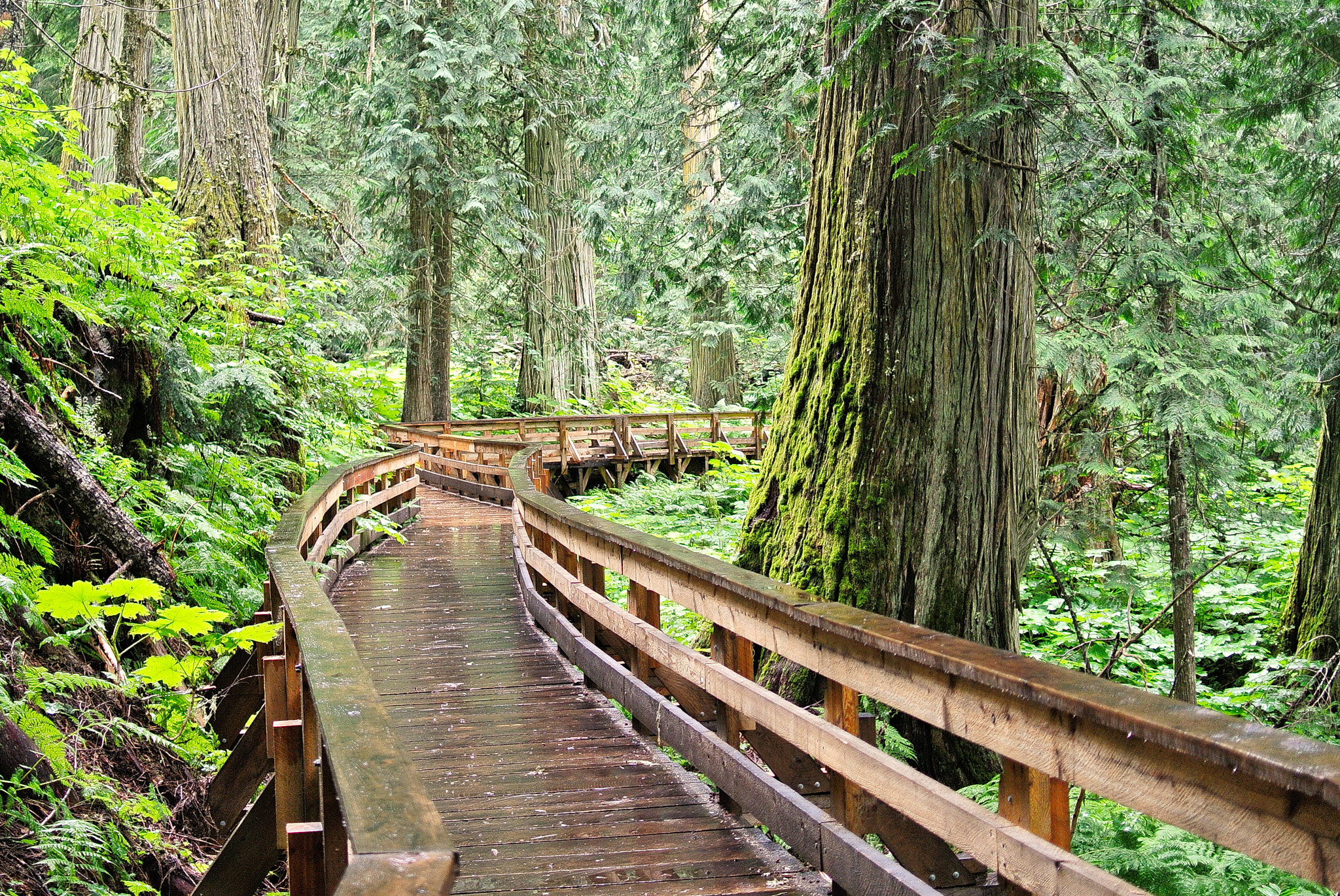
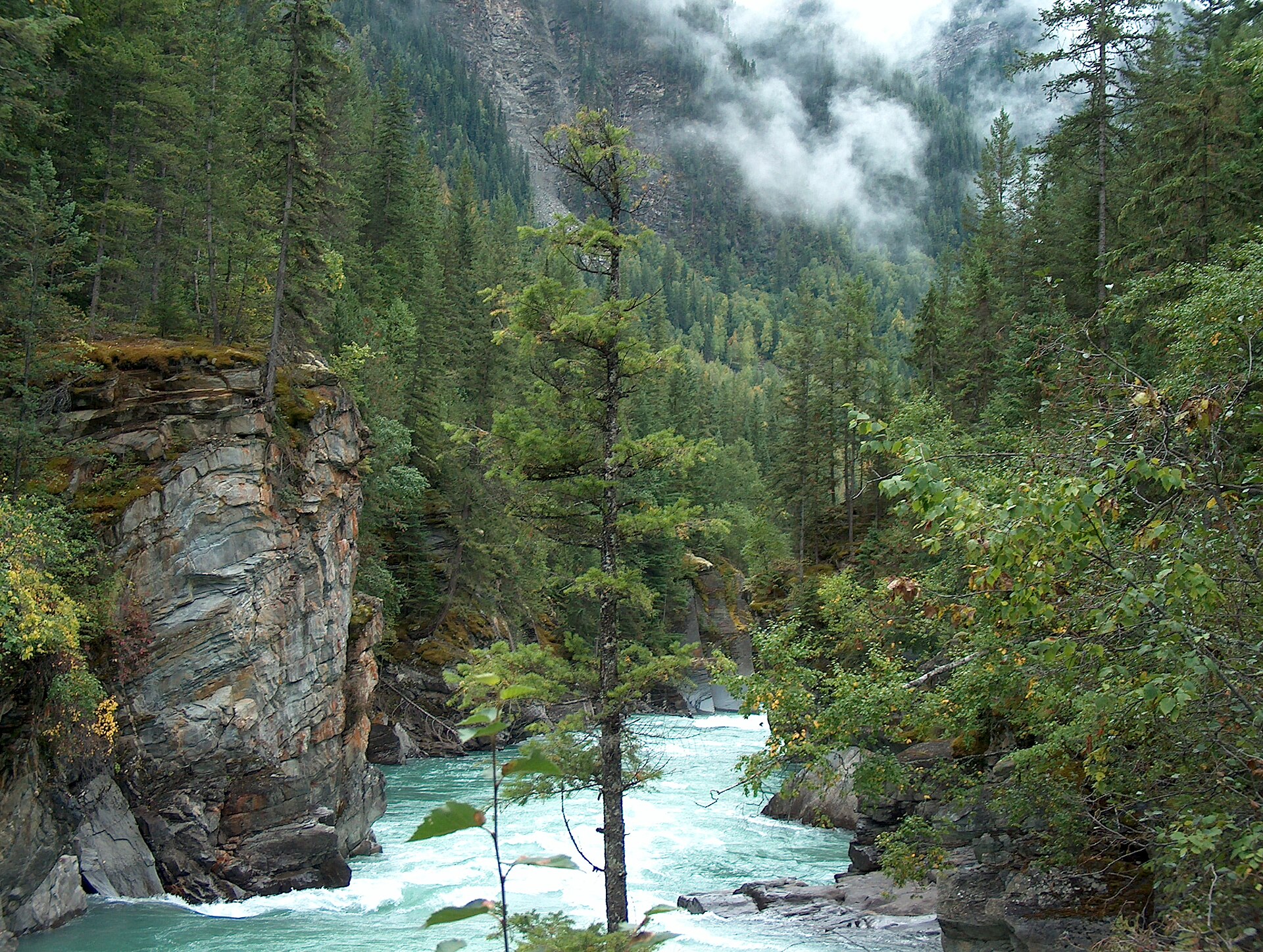
Ancient Forest / Chun T’oh Whudujut, photographed in July 2015. This view predates the current enhancement project.Gord Schindell · CC BY 3.0Photo details
Photographed: 2015-07-13
Original title: Boardwalk Through Ancient Forest (246124627).jpeg
Giant cedars beside Highway 16 tell a story about snow, groundwater and the surprisingly wet side of the Interior.
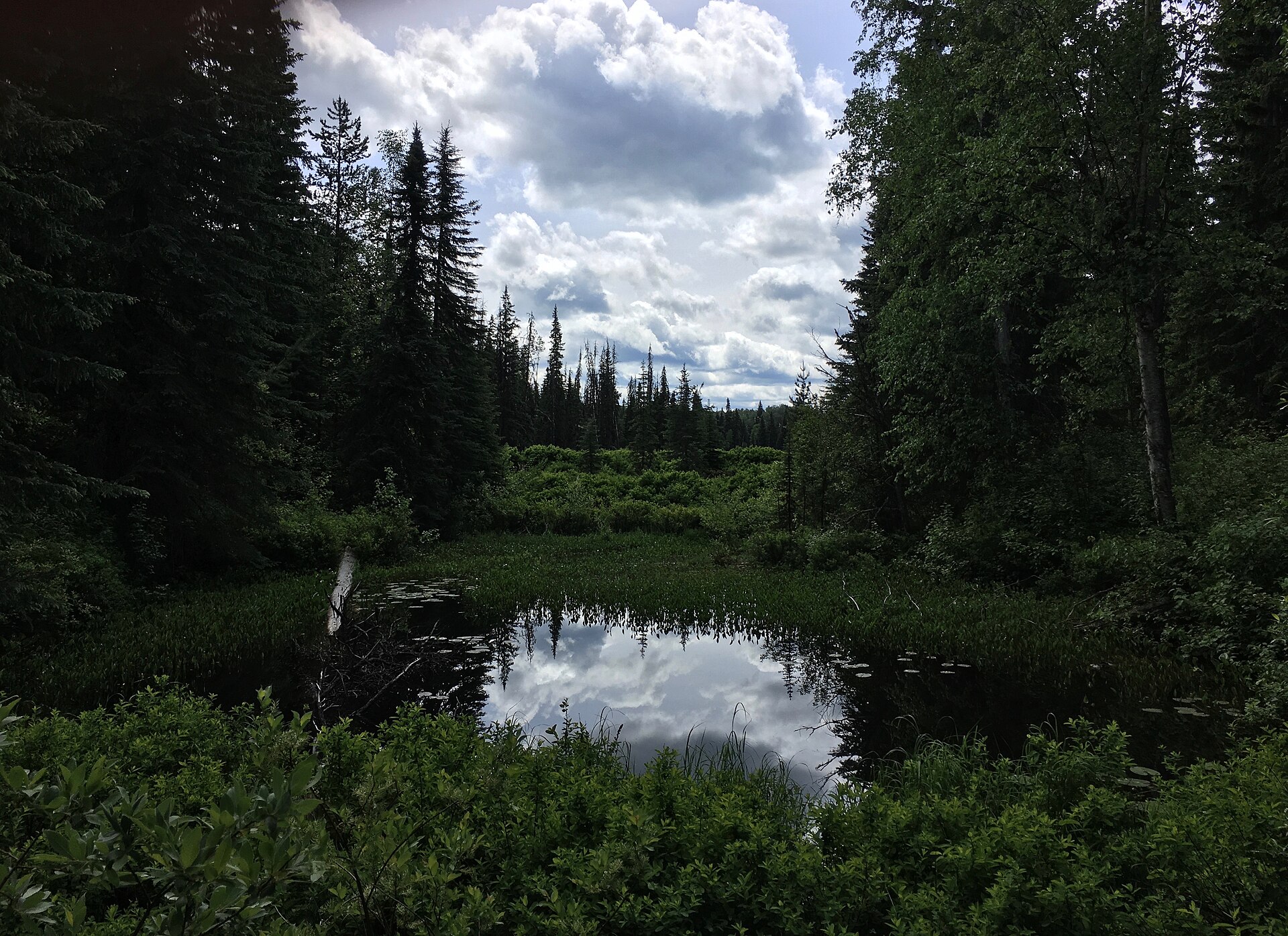
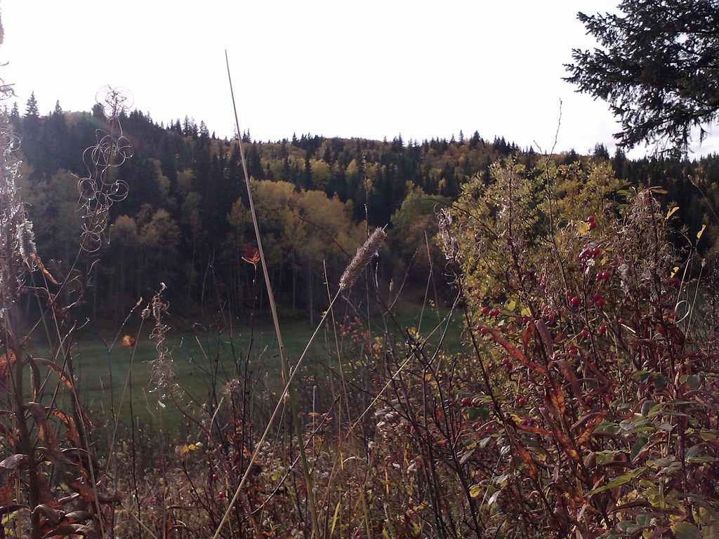
Ancient Forest east of Prince George, one of the contrasting landscapes explored in this article. This photograph predates the current park improvements.Kevin M Klerks from Kincardine, Canada · CC BY 2.0Photo details
Photographed: 2013-09-16 19:33
Original title: Ancient forest, Rocky Mountains region east of Prince George, BC (3).jpg
A way to choose your next outing by the kind of place you want to experience, from city riverbanks to the Rocky Mountains.
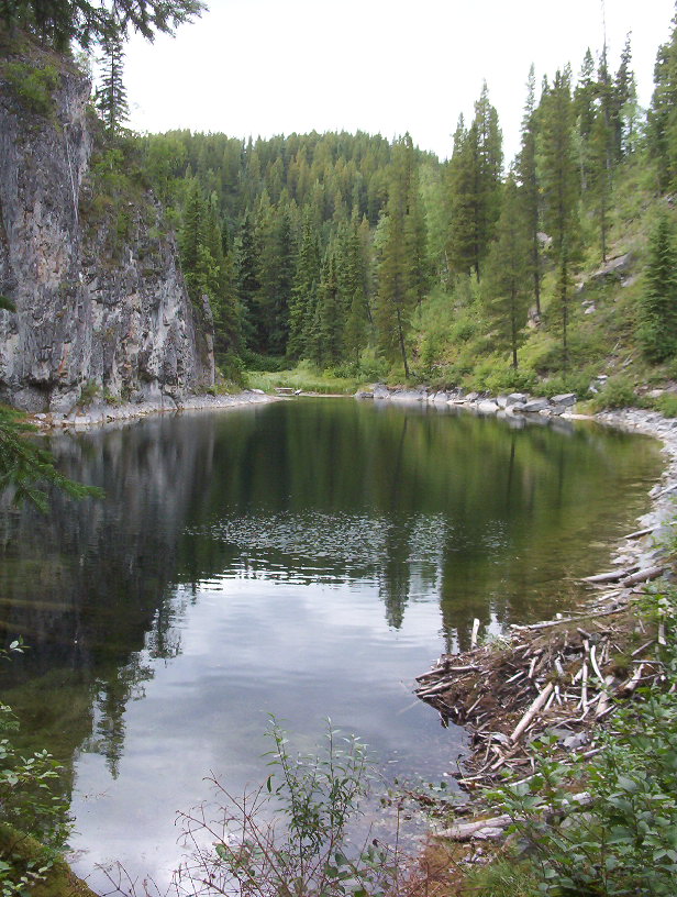
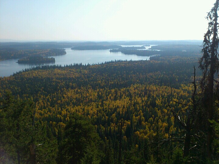
A view from Teapot Mountain on 23 September 2012. This landscape image does not show or identify the mountain’s volcanic rock.Andrew Kurjata · CC BY-NC-SA 2.0 · Noncommercial onlyPhoto details
Photographed: 2012-09-23
Original title: photo-2012-09-23-13-20-40-190
Two familiar hilltops north of Prince George reveal volcanic plumbing, cooling fractures and fragments carried up from beneath the landscape.
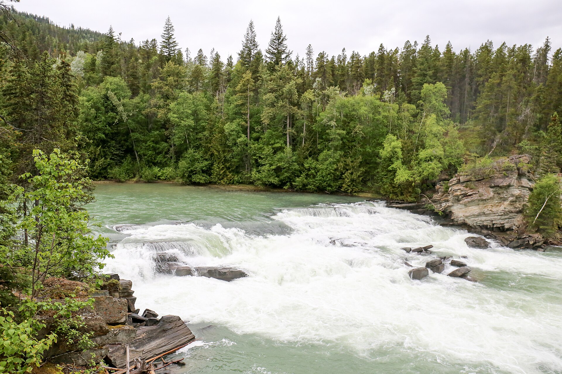
Rearguard Falls in June 2019. The photograph shows the river landscape; no migrating salmon are visible.Ralf Lotys (Sicherlich) · CC BY 4.0Photo details
Photographed: 2019-06
Original title: 2019-06 Rearguard Falls (02).jpg
A short walk to Rearguard Falls opens onto a much longer journey: Chinook salmon returning from the Pacific to the upper Fraser River.