Forest science, mountain landscapes and local history. Find another reason to get outside.
31 to 40 of 79 stories
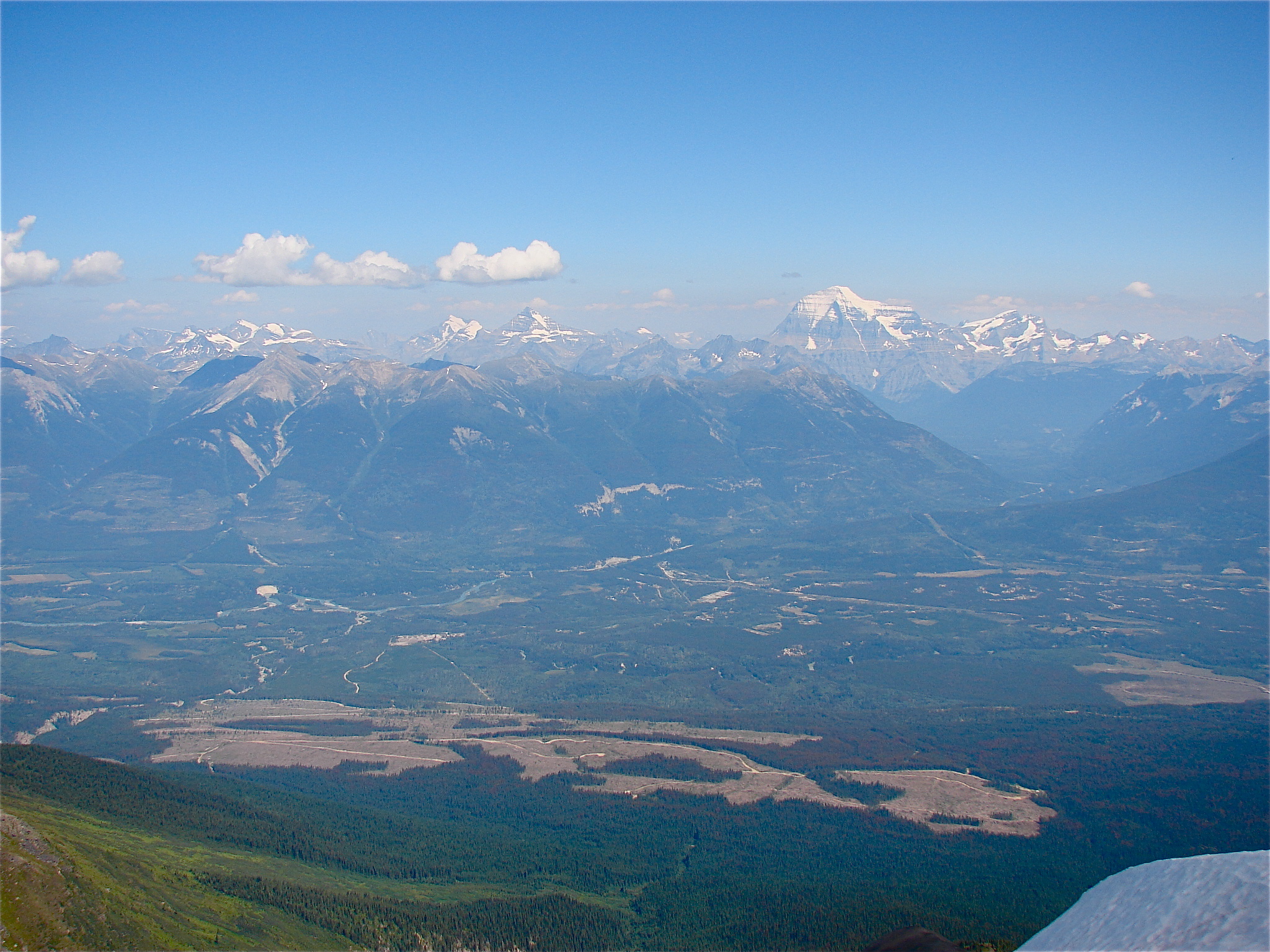
The Tête Jaune Cache area and Fraser River seen from Mica Mountain in 2010, with Mount Robson in the distance. The modern landscape does not identify the exact former townsite or sites of Simpcw displacement.Rufus Hawthorne · Public domain dedication by the photographer
Tête Jaune Cache once connected railway construction, riverboats and trade. Its quieter landscape also holds the history of Simpcw displacement and return.
Near Fort Fraser in April 1914, the Grand Trunk Pacific’s rails met. The ceremony tells a northern railway story of ambition, work and complicated consequences.
3 min read
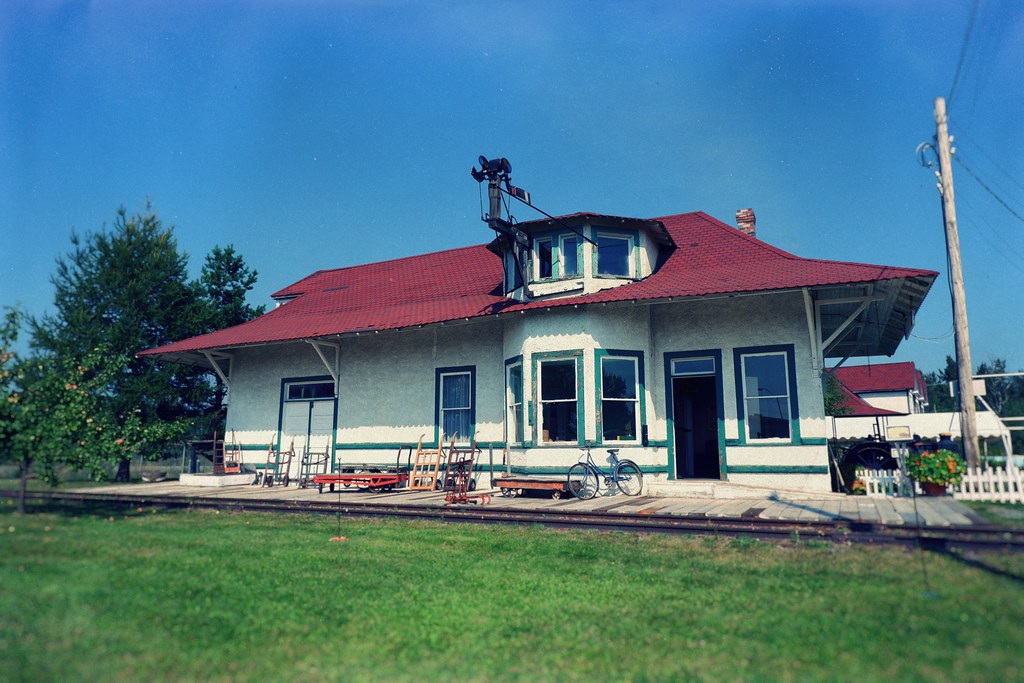
Penny’s former station at the Central BC Railway and Forestry Museum in Prince George, photographed in 2022. The museum moved the building from Penny in 1988.₡ґǘșϯγ Ɗᶏ Ⱪᶅṏⱳդ · CC0 1.0 · Supporting historic-artifact photograph. Keep the location caption so the museum image is not mistaken for the present-day Penny settlement.
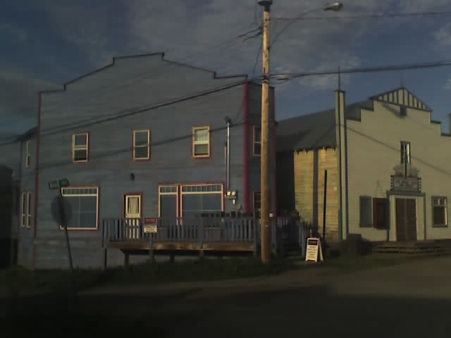
Giscome, Penny and other Upper Fraser settlements grew around mills and railway connections. Follow the machinery, community life and changes behind their names.
3 min read
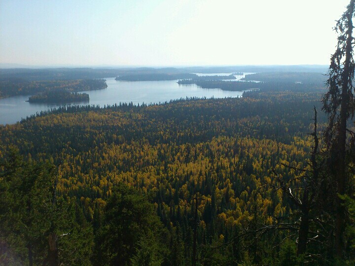
A view from Teapot Mountain on 23 September 2012. This landscape image does not show or identify the mountain’s volcanic rock.Andrew Kurjata · CC BY-NC-SA 2.0 · Noncommercial only
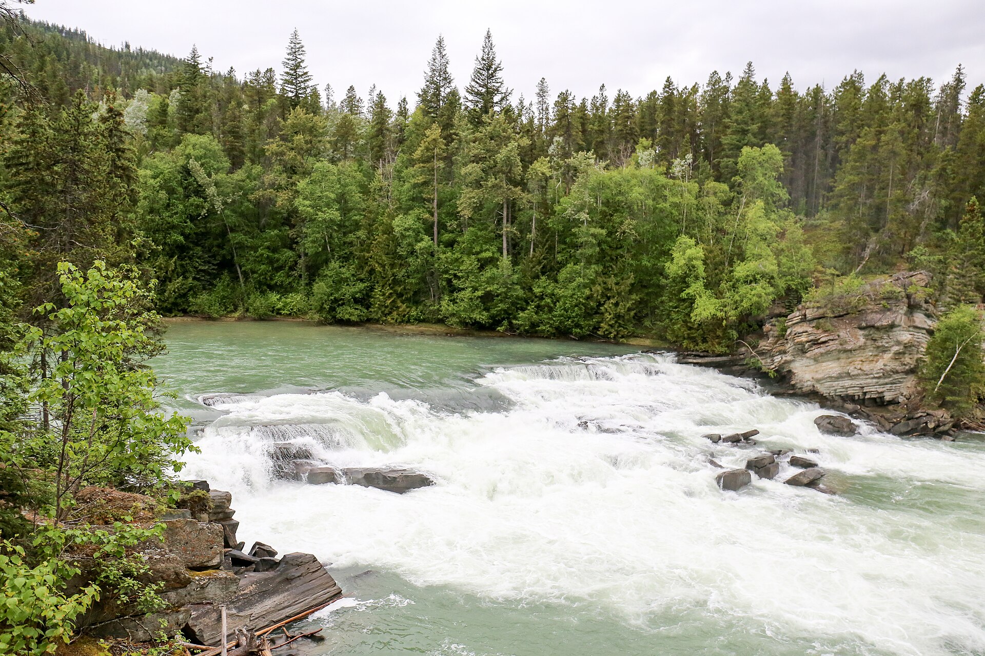
A short walk to Rearguard Falls opens onto a much longer journey: Chinook salmon returning from the Pacific to the upper Fraser River.
2 min read
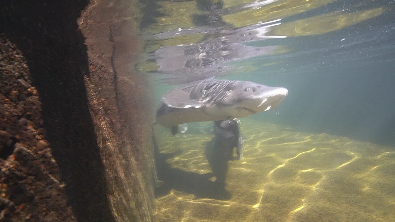
White sturgeon at the US Fish and Wildlife Service’s Abernathy Fish Technology Center in Washington, April 2024. A still from Typhanie Shepherd’s USFWS underwater video, not a fish photographed in the Nechako River.Typhanie Shepherd / USFWS Pacific · Public domain
Beneath the Nechako is a conservation story measured in decades: long-lived white sturgeon, missing young fish and the work to restore a riverbed.
3 min read
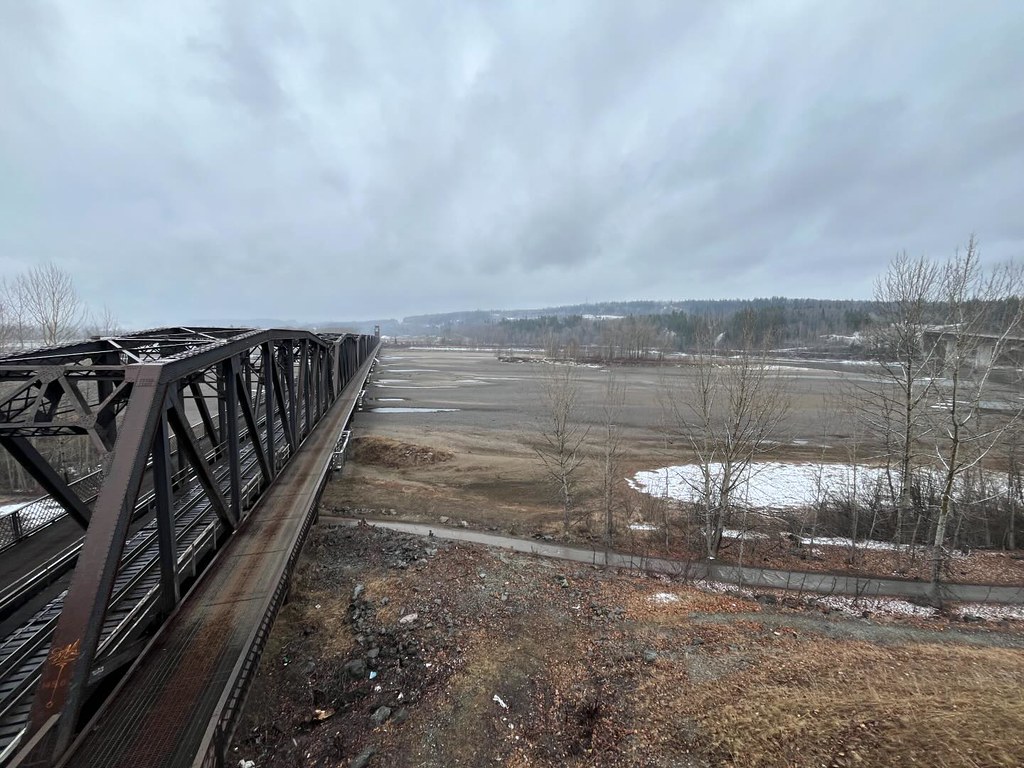
The Fraser and Nechako confluence during unusually low water in spring 2024, photographed by Andrew Kurjata. This records a particular water level, not the usual appearance of the rivers.Andrew Kurjata · CC BY-NC-SA 2.0
At Prince George’s river confluence, a changing line in the water can reveal sediment, seasons and the slow work of two rivers mixing.
3 min read
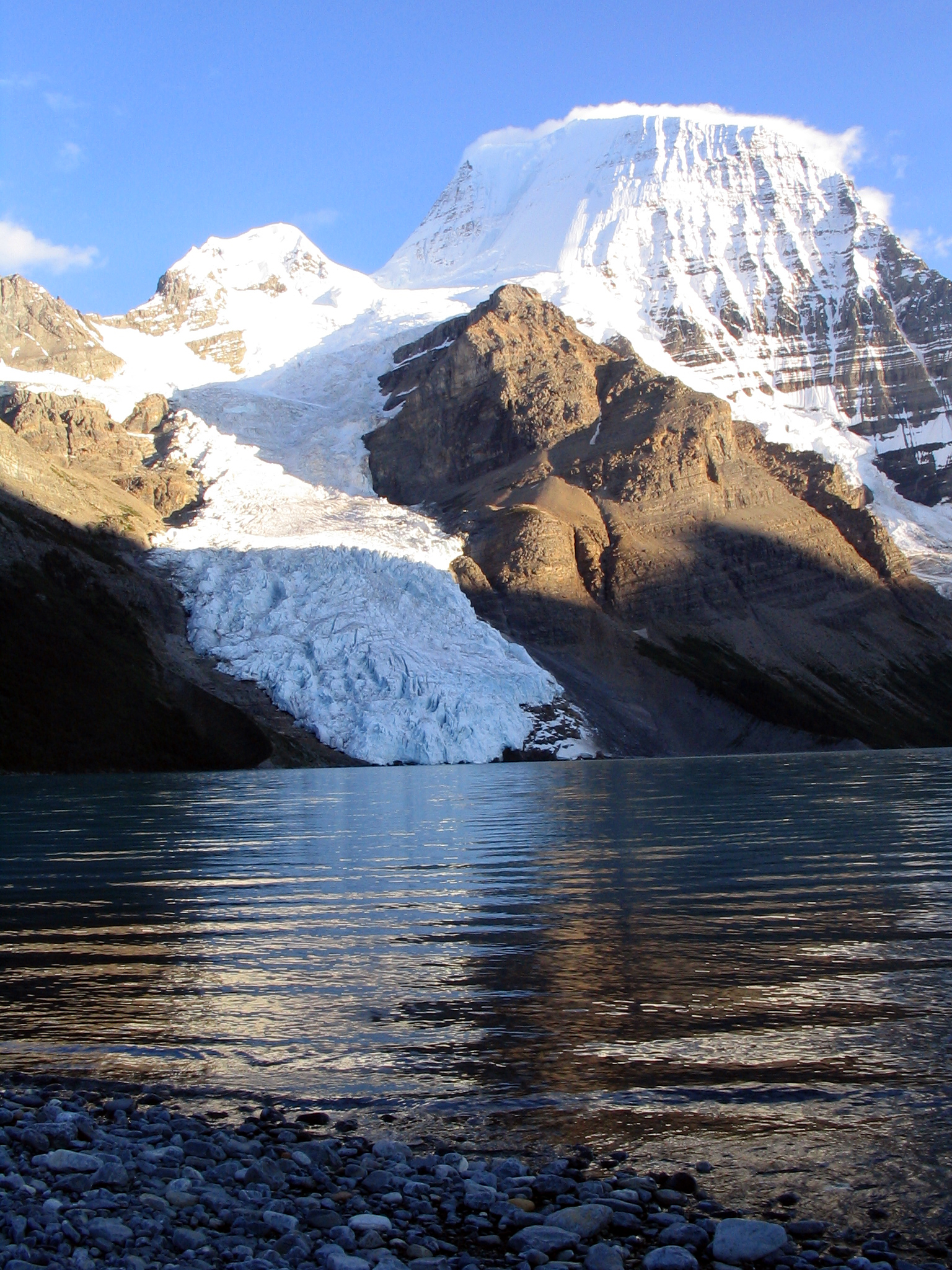
Berg Lake beneath Mount Robson. This older photograph illustrates a glacier-fed mountain lake; glacier extent and shoreline conditions have changed since it was taken.Airj1012 at English Wikipedia · CC BY 3.0
Turquoise, clear blue, green or almost black: the colour of a northern BC lake tells a story about light, water and what its watershed carries.
3 min read
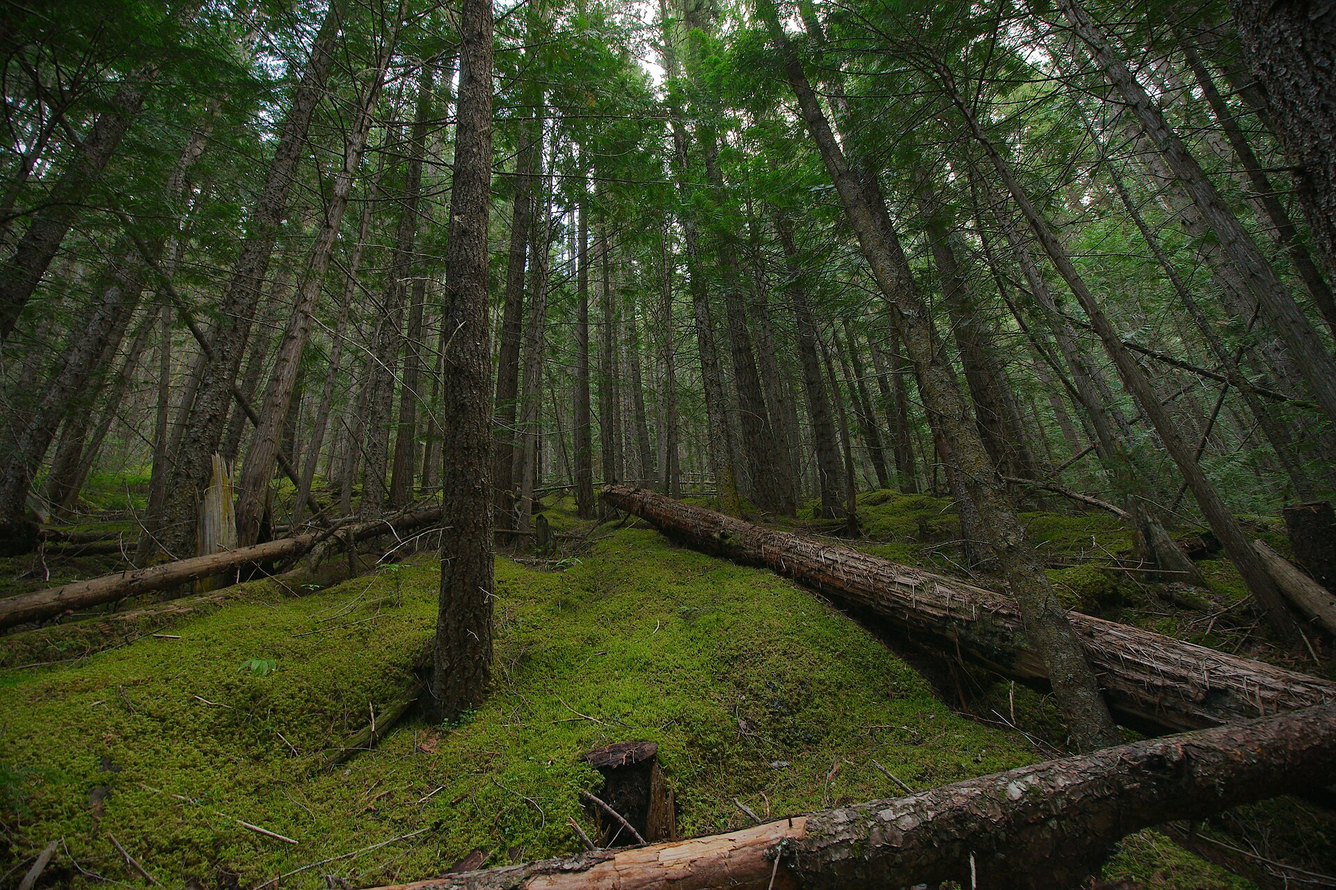
Fallen wood along the Berg Lake Trail, photographed in August 2011. This illustrates forest structure without identifying a particular decay organism.Sébastien Launay · CC BY 2.0